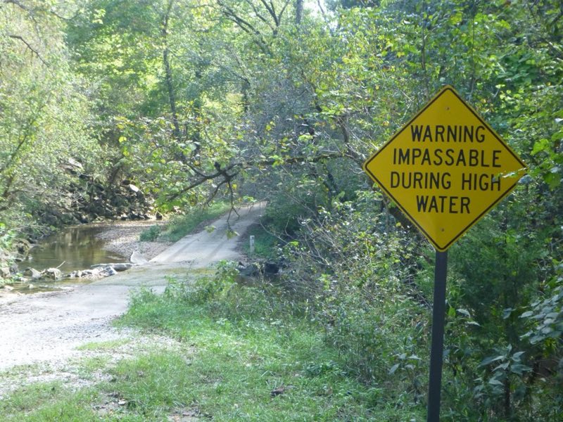
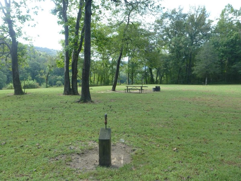
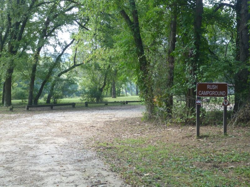
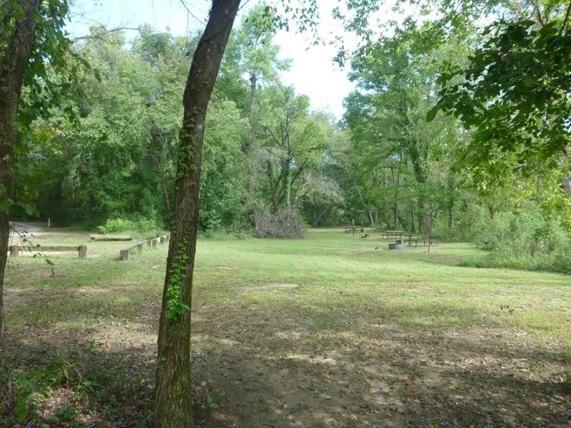
Photos: NPS · courtesy of National Park Service. Click a photo to enlarge.
Rush Campground
Overview
Rush Campground has 12 tent only sites with no electrical amenities and no flush restrooms. Reservations are required to camp at Rush Campground through recreation.gov or by calling 877-444-6777. Drinking water is available when fees are collected from approximately March 15 - November 14.
- Operator
- National Park
- Camping types
- Tent
- Sites
- 12 campsites
- Fee
- From $16 per night (confirm with the operator)
- Reservations
- Reservable online
- Phone
- 870-449-4311
Amenities
Location
Nearby adventures
Hikes and trailheads
- Rush Mine Level Trail and Morning Star Interpretive Loop
This .25 mile to 1.5 mile trail offers beautiful views of Rush Valley and gives hikers an understanding of the historic, mining, landscape. National Park Service
Show on map - Hike the Buffalo Point Campground Trails
The Buffalo Point Campground Trails give campers, day hikers, and leashed dogs a chance to stretch their legs between the campground and the historic cabin area at Buffalo Point. National Park Service
Show on map - Indian Rockhouse Trail
A hike on the Indian Rockhouse reveals geologic formations commonly found on a limestone landscape and gives hikers an opportunity to explore locations where ancient peoples sought shelter. National Park Service
Show on map - Morning Star TrailheadShow on map
- Buffalo River TrailShow on map
- Ozark Highlands Trail
A long-distance route maintained by The Ozark Highlands Trail Association.
Show on map
Mountain biking
- Bad Branch Loop
A mountain-bike route starting near Bad Branch Trailhead, maintained by United States Forest Service.
Show on map - Jack's Branch Loop
A loop mountain-bike route starting near Scrappy Mountain Trailhead, maintained by United States Forest Service.
Show on map - Scrappy Mountain
A loop mountain-bike route starting near Scrappy Mountain Trailhead, maintained by United States Forest Service.
Show on map
Rivers and rafting
- Paddling Rush Landing to the White River
This 30-mile paddling trip cuts through the Lower Wilderness Area to the mouth of Buffalo National River. National Park Service
Show on map - Paddling Dillards Ferry to Buffalo Point
The float between Dillard's Ferry and Buffalo Point is a short trip for those that have a very limited amount of time. National Park Service
Show on map - Paddling Dillards Ferry to Rush Landing
This 9-mile paddling trip offers some great fishing holes between Buffalo Point and Rush, where the pools get long and the current typically slows in the summer time. National Park Service
Show on map
Scenic sights
- Indian Rockhouse
It's actually a bluff shelter rather than a cave. OpenStreetMap
Show on map - Natural BathtubShow on map
- Funnel FallsShow on map
- Pileated PointShow on map
- M&NA Trestles
A viewpoint near Old Railroad Grade.
Show on map
Trail and sight data: National Park Service and OpenStreetMap contributors (ODbL).
Reviews
Data sources
Listing details come from the sources above and may be out of date. Confirm fees, dates and closures with the operator before you travel.