Photos: NPS Photo · courtesy of National Park Service. Click a photo to enlarge.
Tyler Bend Campground
Overview
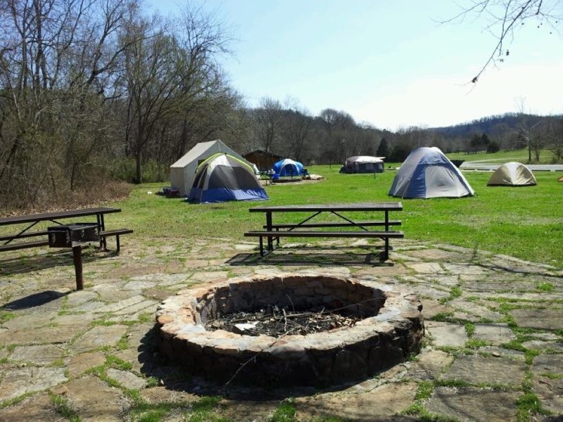
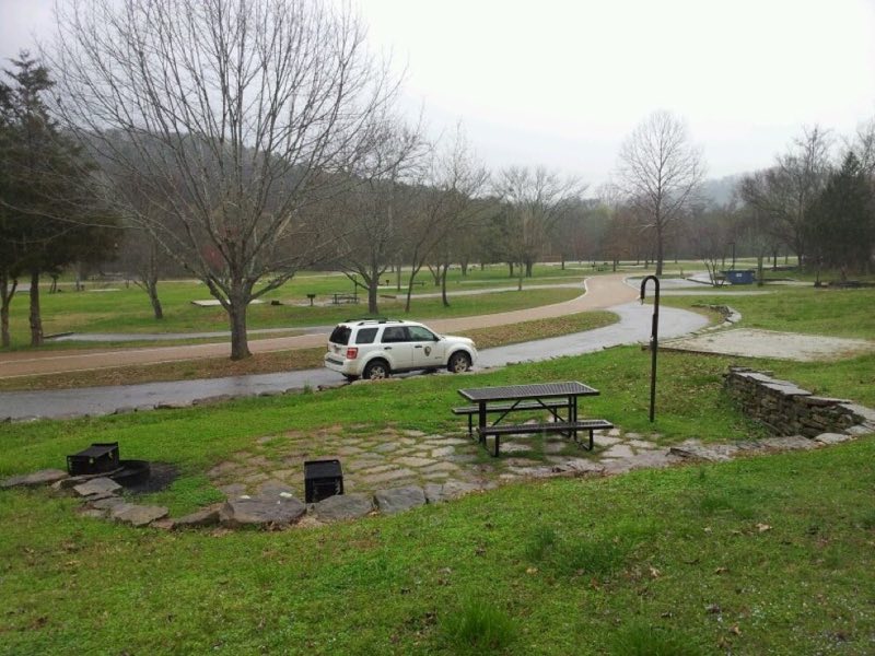
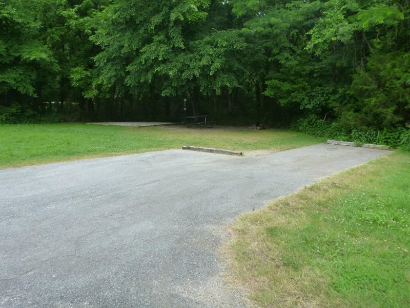
Tyler Bend Campground is a developed campground in the middle district of the park. It has 27 drive-in sites, 10 walk-in tent sites, 5 group sites, and a pavilion. The campground has flush restrooms, showers, dump station, potable water, but no electrical amenities.
- Operator
- National Park
- Camping types
- Tent, RV
- Sites
- 42 campsites
- Fee
- From $20 per night (confirm with the operator)
- Reservations
- Reservable online
- Phone
- 870-439-2502
Amenities
Location
Nearby adventures
Hikes and trailheads
- Hike Tyler Bend Trails
Hikers can plan loops of varying lengths to suit their time and ability. National Park Service
Show on map - Shine Eye to Gilbert Trail
Trail is along the bluffs of the river from Hwy 65 to Gilbert. National Park Service
Show on map - Old Railroad Trail
The Old Raildroad Trail follows the river east from Gilbert along the former route of the Missouri and North Arkansas Railroad. National Park Service
Show on map - Buffalo River TrailShow on map
- Ozark Highlands Trail
A long-distance route maintained by The Ozark Highlands Trail Association.
Show on map - Spring HollowShow on map
Mountain biking
- North Ark Bike Course
A loop mountain-bike route.
Show on map
Rivers and rafting
- Paddling Tyler Bend to Grinder's Ferry
Easy, flat water for 1 mile reach of the river. National Park Service
Show on map - Paddling Grinder's Ferry to Gilbert
Either Tyler Bend to Gilbert or Grinder's Ferry to Gilbert can be a pleasant, easy float with plenty of sand/gravel bars to rest and have a picnic. National Park Service
Show on map - Paddling Gilbert to South Maumee
This reach is about 12 miles which makes it one of the less crowded sections of the river. National Park Service
Show on map
Scenic sights
- Buck PointShow on map
- Peter Cave OverlookShow on map
- Pate MountainShow on map
- Tie Slide OverlookShow on map
- Lay FallsShow on map
Climbing and snow sports
- Cliffs of InsanityShow on map
- Magoo RockShow on map
- East SideShow on map
Trail and sight data: National Park Service and OpenStreetMap contributors (ODbL).
Reviews
Data sources
Listing details come from the sources above and may be out of date. Confirm fees, dates and closures with the operator before you travel.