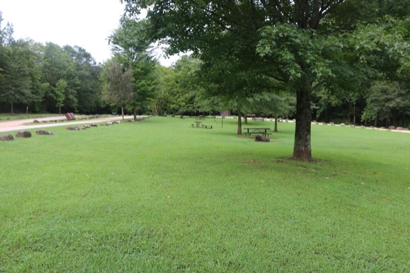
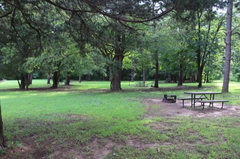
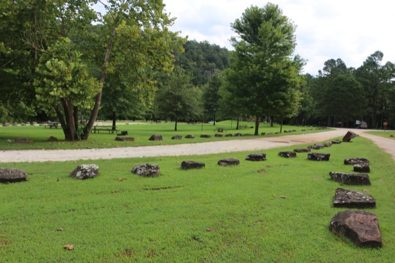
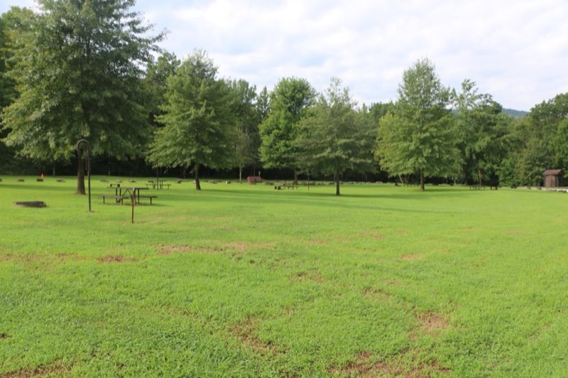
Photos: NPS · courtesy of National Park Service. Click a photo to enlarge.
Kyles Landing
Overview
Kyles Landing Campground has 33 tent-only sites with no electrical amenities, but flush restrooms and water are available from approximately March 15 through November 14. All sites are available for reservation at recreation.gov or by calling 877-444-6777.
- Operator
- National Park
- Camping types
- Tent, RV
- Sites
- 33 campsites
- Fee
- From $20 per night (confirm with the operator)
- Reservations
- Reservable online
- Phone
- 870-439-2502
Amenities
Location
Nearby adventures
Hikes and trailheads
- Hike to Hideout Hollow
The Hideout Hollow Trail leads to a rock shelter that was once inhabited by a group of World War I draft dodgers called The Slacker Gang. National Park Service
Show on map - Cecil Cove Loop
This 7-mile loop winds through the wooded valley following Cecil Creek. National Park Service
Show on map - Hike to Big Bluff
The Centerpoint Trail is a strenuous hike that traverses the Ponca Wilderness, winding down an old wagon road descending nearly 1,300 ft. to the Buffalo River. National Park Service
Show on map - Beaver Jim Villines Homestead TrailShow on map
- Buffalo River Trail
A trail maintained by National Park Service.
Show on map - Lost Valley Trail
The Lost Valley Trail is an easy to moderate hike through a box canyon sculpted by Clark Creek. National Park Service
Show on map
Mountain biking
- North Ark Bike Course
A loop mountain-bike route.
Show on map
Rivers and rafting
- Paddle Kyles Landing to Erbie
Downstream from the hustle and bustle of Kyles Landing, one can find solitude among this comparatively quiet, 5.7-mile stretch of river snaking through the Ponca Wilderness. National Park Service
Show on map - Paddle Steel Creek to Kyles Landing
Hands-down the most beloved and popular section of the upper river, the 8-mile section from Steel Creek to Kyles Landing meanders through the heart of the Ponca Wilderness past towering… National Park Service
Show on map - Paddle Erbie to Ozark
A serene, 5.4-mile stretch of the Buffalo River winds between Erbie and Ozark and offers excellent opportunities for solitude and wildlife watching. National Park Service
Show on map
Scenic sights
- Fishtrap Hollow Falls
An 83-foot waterfall.
Show on map - Triple Falls
A 48-foot waterfall near Buffalo River Trail.
Show on map - Cobb CaveShow on map
- North Scenic PointShow on map
- South Gap Scenic PointShow on map
Climbing and snow sports
- The North Forty
A climbing area with sport routes.
Show on map - Kindergarten Boulder
A climbing area with sport and trad routes and bouldering.
Show on map - North SideShow on map
Trail and sight data: National Park Service and OpenStreetMap contributors (ODbL).
Reviews
Data sources
Listing details come from the sources above and may be out of date. Confirm fees, dates and closures with the operator before you travel.