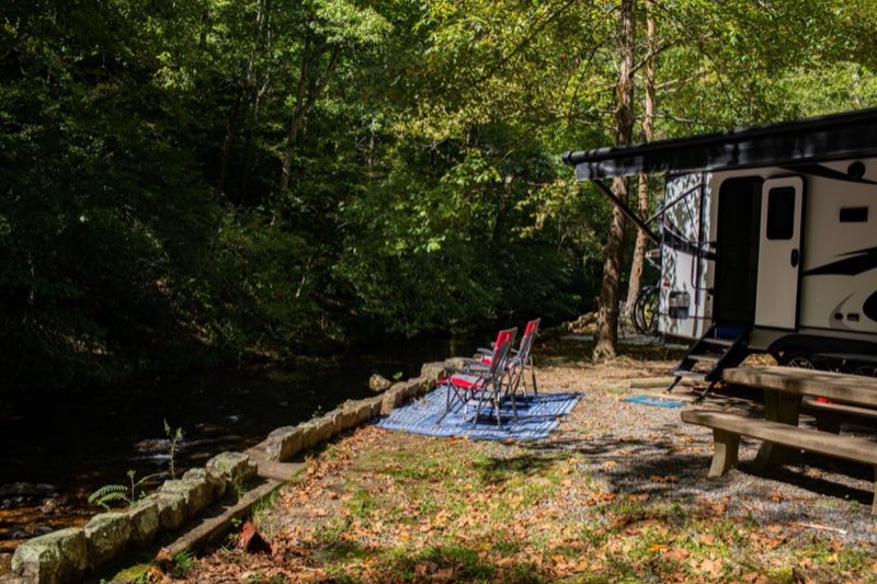
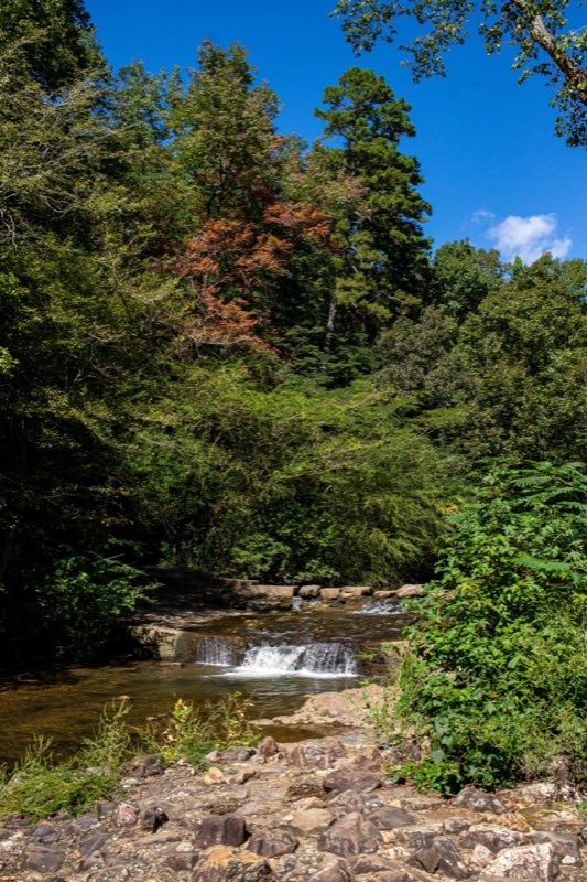
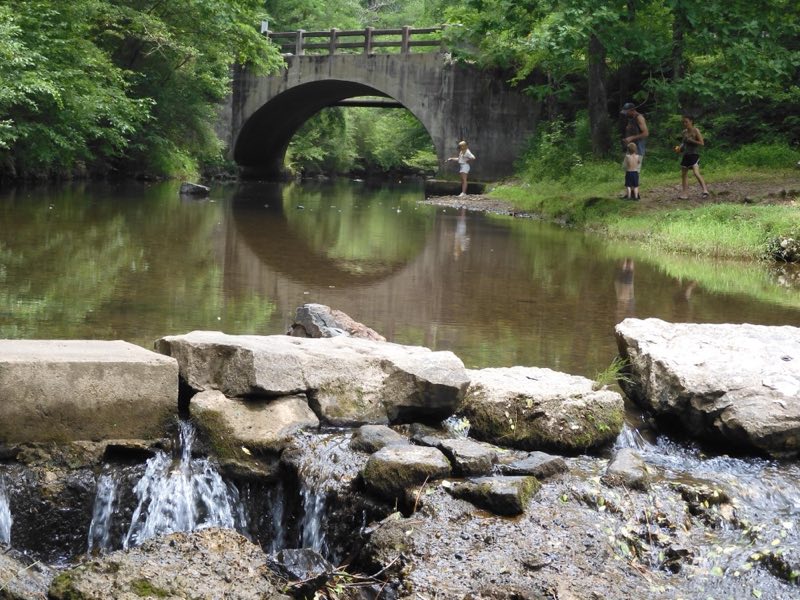
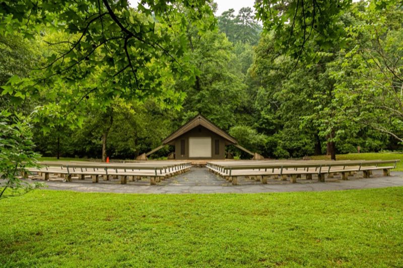
Photos: Mitch Smith, NPS Photo/Lissa Allen · courtesy of National Park Service. Click a photo to enlarge.
Gulpha Gorge Campground
Overview
Camping at Gulpha Gorge Campground costs $34 per night for all sites. All sites have full hookups: 30 and 50 amp electric, water and sewer connections. Sites are not pull-through. Each campsite has a picnic table, pedestal grill, and water.
- Operator
- National Park
- Camping types
- Tent, RV
- Sites
- 40 campsites
- Fee
- From $34 per night (confirm with the operator)
- Reservations
- Reservable online
- Phone
- 501-620-6715
Amenities
Location
Nearby adventures
Hikes and trailheads
- Upper Dogwood Trail
Upper Dogwood trail has short rises and long stretches of flat trail. National Park Service
Show on map - An Overview: Hot Springs and North Mountain Trails
The Hot Springs and North Mountain trails are popular since they are easy to reach and provide scenic views. National Park Service
Show on map - Grand Avenue Trail
Grand Avenue Trail connects Oertel Trail with Grand Avenue. National Park Service
Show on map - Ride to the Top of Hot Springs Mountain Tower
Originally being made of wood in 1877, the tower was rebuilt with steel and an elevator in 1982 with both open and enclosed observation decks. National Park Service
Show on map - Floral Trail
Floral Trail connects Lower Dogwood Trail and Honeysuckle Trail. National Park Service
Show on map - Short Cut Trail
Short Cut Trail connects Oertel Trail with Hot Springs Mountain Trail near the picnic area atop Hot Springs Mountain. National Park Service
Show on map
Scenic sights
- Goat Rock Viewpoint
Off Goat Rock Trail, Hot Springs National Park. OpenStreetMap
Show on map - Thermal Water Jug FountainShow on map
- West Mountain
A peak along Sunset Trail.
Show on map - Garvan Gardens Falls
An 11-foot waterfall.
Show on map - Perry Wildflower OverlookShow on map
Trail and sight data: National Park Service and OpenStreetMap contributors (ODbL).
Reviews
Data sources
Listing details come from the sources above and may be out of date. Confirm fees, dates and closures with the operator before you travel.