Photos: NPS · courtesy of National Park Service. Click a photo to enlarge.
Carver Campground
Overview
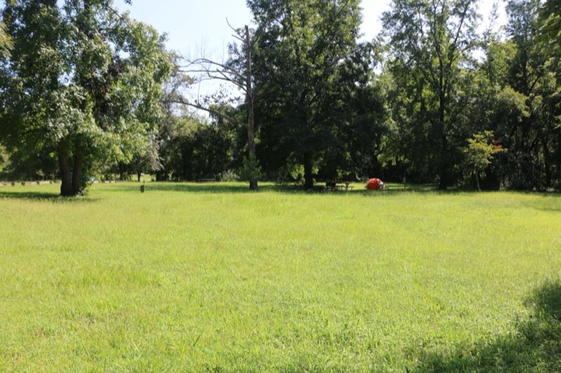
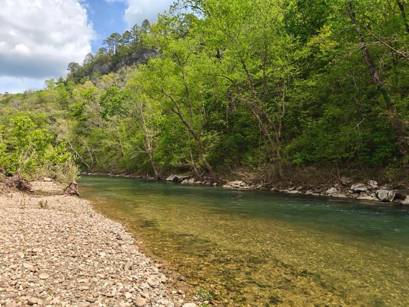
Carver Campground has 8 tent-only sites. There are no electrical amenities, but flush restrooms and water are available from approximately March 15 through November 14. Water and a vault restroom is available. All sites are available for reservation at recreation.gov or by calling 1-877-444-6777.
- Operator
- National Park
- Camping types
- Tent
- Sites
- 8 campsites
- Fee
- From $16 per night (confirm with the operator)
- Reservations
- Reservable online
- Phone
- 870-439-2502
Amenities
Location
Nearby adventures
Hikes and trailheads
- Buffalo River Trail - Woolum to Tyler Bend
The Buffalo River Trail follows along the south side of the river from Woolum to Tyler Bend for a little more than 11 miles. National Park Service
Show on map - Ozark Highlands Trail
A long-distance route maintained by The Ozark Highlands Trail Association.
Show on map - Buffalo River Trail
A trail maintained by National Park Service.
Show on map - Cecil Cove Loop
This 7-mile loop winds through the wooded valley following Cecil Creek. National Park Service
Show on map - Buffalo River TrailShow on map
- Hike to Hideout Hollow
The Hideout Hollow Trail leads to a rock shelter that was once inhabited by a group of World War I draft dodgers called The Slacker Gang. National Park Service
Show on map
Mountain biking
- North Ark Bike Course
A loop mountain-bike route.
Show on map
Rivers and rafting
- Paddling Carver to Mt. HerseyShow on map
- Paddle Hasty to Carver
Anglers love the 4-mile trip between Hasty and Carver for its countless fishing holes and perfect smallmouth habitat. National Park Service
Show on map - Paddling Mt. Hersey to Woolum
This reach provides numerous bluffs, shoals and pools along the way. National Park Service
Show on map
Scenic sights
- Horn MountainShow on map
- Barlow Christian MountainShow on map
- North Scenic PointShow on map
- South Gap Scenic PointShow on map
- Punchbowl Falls
A 20-foot waterfall.
Show on map
Climbing and snow sports
- Cliffs of InsanityShow on map
- Magoo RockShow on map
- East SideShow on map
Trail and sight data: National Park Service and OpenStreetMap contributors (ODbL).
Reviews
Data sources
Listing details come from the sources above and may be out of date. Confirm fees, dates and closures with the operator before you travel.