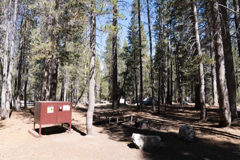
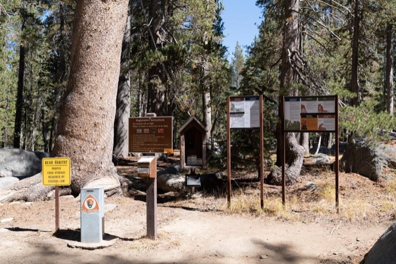
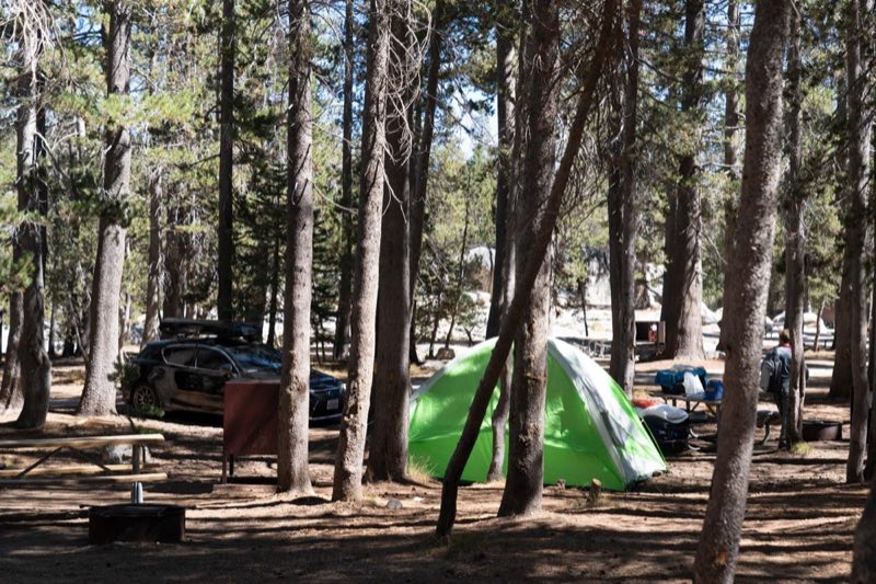
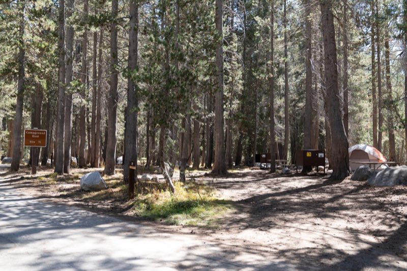
Photos: NPS Photo · courtesy of Recreation.gov. Click a photo to enlarge.
White Wolf Campground
Overview
There is no drinking water provided here. Restrooms are portable toilets. Staying at White Wolf Campground requires reservations. White Wolf typically opens mid-July and closes mid to late September, depending on the opening of the Tioga Road and related seasonal facility and road work.
- Operator
- National Park
- Camping types
- Tent
- Sites
- 74 campsites
- Fee
- From $36 per night (confirm with the operator)
- Reservations
- Reservable online
- Phone
- 209-379-2123
Amenities
Location
Nearby adventures
Hikes and trailheads
- Grand Canyon of the Tuolumne Trail
A trail starting near Glen Aulin Trailhead.
Show on map - White Wolf Trailhead
Access point for Grand Canyon of the Tuolumne Trail.
Show on map - Lukens Lake TrailheadShow on map
- Ten Lakes Trail
A trail maintained by National Park Service.
Show on map - High Sierra Camp Loop
Loop trail linking Yosemite's 5 High Sierra Camps. OpenStreetMap
Show on map - Yosemite Creek TrailheadShow on map
Mountain biking
- Ride a Bike in Yosemite Valley
Cycling is a great way to experience the park and allows you to cover more ground during your time here. National Park Service
Show on map
Scenic sights
- Hetch Hetchy Viewpoint
A viewpoint along Grand Canyon of the Tuolumne Trail.
Show on map - Quaking Aspen Falls
Quaking Aspen Falls is a 75-foot, multi-stranded waterfall off Tioga Pass Road in Yosemite National Park. Wikipedia
Show on map - Double RockShow on map
- Ribbon Fall
Tallest uninterrupted waterfall in the United States of America. OpenStreetMap
Show on map - Smith Peak
Smith Peak, in Yosemite National Park in the United States, overlooks the Hetch Hetchy Reservoir and provides grand vistas of the Hetch Hetchy Valley and surrounding wilderness. Wikipedia
Show on map
Climbing and snow sports
- North Dome
Approach via North Dome Trail (from the north, toward Tuolumne Meadows) or by first climbing Royal Arches (from the Valley, to the south). OpenStreetMap
Show on map - El Capitan Base
Climbs around the base of El Capitan (not the big walls). OpenStreetMap
Show on map - Hetch Hetchy DomeShow on map
Trail and sight data: OpenStreetMap contributors (ODbL) and National Park Service. Text marked Wikipedia is from Wikipedia under CC BY-SA 4.0, lightly shortened.
Reviews
Data sources
Listing details come from the sources above and may be out of date. Confirm fees, dates and closures with the operator before you travel.