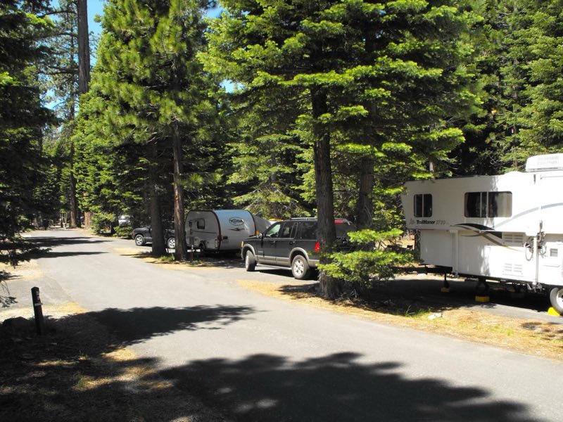
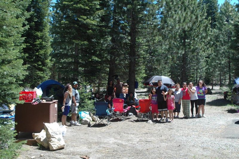
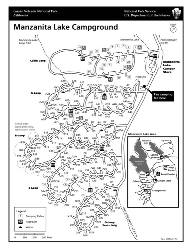
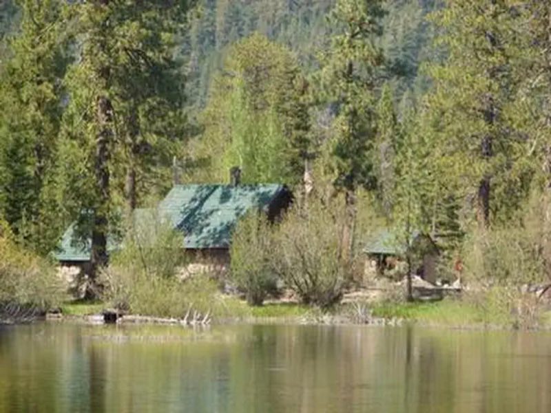
Photos: NPS Photo, NPS Map · courtesy of National Park Service. Click a photo to enlarge.
Manzanita Lake Campground
Overview
Manzanita Lake is the largest campground in the park. Located next to Manzanita Lake near the park's northwest entrance, campers can easily enjoy swimming, fishing, kayaking, and hiking.
- Operator
- National Park
- Camping types
- Tent
- Sites
- 179 campsites
- Fee
- From $26 per night (confirm with the operator)
- Reservations
- Reservable online
- Phone
- 530-595-6121
Amenities
Location
Nearby adventures
Hikes and trailheads
- Walk Manzanita Lake Trail
Manzanita Lake Trail is an easy, mostly flat walk suitable for families with young children. National Park Service
Show on map - Walk Lily Pond Interpretive Trail
A half-mile, self-led, interpretive loop explores the rich diversity of plant and animal life in the Manzanita Lake Area. National Park Service
Show on map - Manzanita Creek Trail
A trail maintained by National Park Service.
Show on map - Chaos Crags Trail
A trail starting near Crags Lake Trailhead.
Show on map - Nobles Emigrant Trail
A trail starting near Nobles Emigrant-Summertown Trailhead.
Show on map - Manzanita Lake Campground TrailheadShow on map
Scenic sights
- Sunset viewpointShow on map
- Chaos Crags viewpointShow on map
- Table MountainShow on map
- Loomis PeakShow on map
- Mill Creek Falls
A waterfall along Crumbaugh Lake Trail.
Show on map
Climbing and snow sports
- Coppervale Ski Area
A ski area, operated by Lassen College.
Show on map
Trail and sight data: National Park Service and OpenStreetMap contributors (ODbL).
Reviews
Data sources
Listing details come from the sources above and may be out of date. Confirm fees, dates and closures with the operator before you travel.