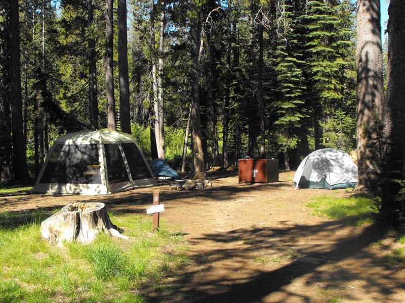
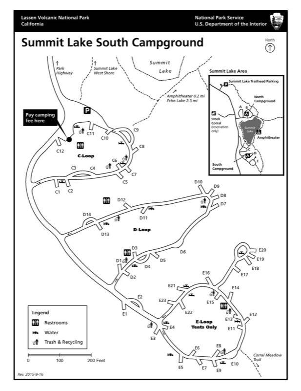
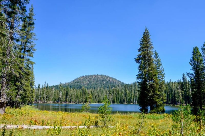
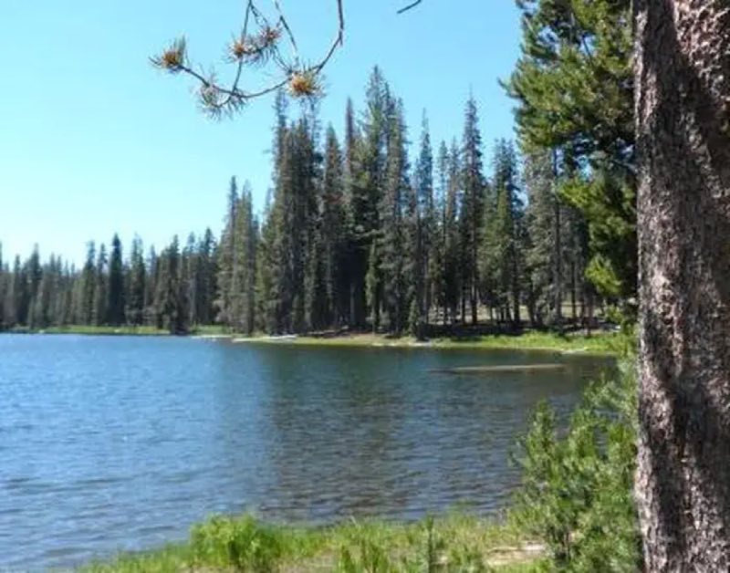
Photos: NPS Photo, NPS Map, LAVO Fee Staff · courtesy of National Park Service. Click a photo to enlarge.
Summit Lake South Campground
Overview
Summit Lake South Campground is located on the south side of Summit Lake at about the middle point of the 30-mile park highway. The campground contains loops C, D, and E (tents only). Additional campsites are located in two loops on the north side of the lake in Summit Lake North Campground.
- Operator
- National Park
- Camping types
- Tent
- Sites
- 49 campsites
- Fee
- From $22 per night (confirm with the operator)
- Reservations
- Reservable online
- Phone
- 530-595-6121
Amenities
Location
Nearby adventures
Hikes and trailheads
- Bear Lakes TrailShow on map
- PCT - California Section N
A long-distance route from Hwy 70 to McArthur-Burney Falls State Park.
Show on map - Summit Lake South TrailheadShow on map
- Summit Lake North TrailheadShow on map
- Nobles-Emigrant Trail
The Nobles Emigrant Trail, also known as the Fort Kearney, South Pass and Honey Lake Wagon Road, is a trail in California that was used by emigrant parties from the east as a shortened… Wikipedia
Show on map - Cluster Lakes TrailheadShow on map
Mountain biking
- Bizz Johnson Trail
A mountain-bike route from Susanville (Old Railroad Depot) to Mason Station, maintained by Bureau of Land Management.
Show on map
Scenic sights
- Reading PeakShow on map
- Survivors HillShow on map
- Kings Creek Falls Viewpoint
A viewpoint along Kings Creek Trail.
Show on map - Kings Creek Falls
A waterfall along Kings Creek Trail.
Show on map - Upper Cascades Viewpoint
A viewpoint along Kings Creek Trail.
Show on map
Climbing and snow sports
- Coppervale Ski Area
A ski area, operated by Lassen College.
Show on map
Trail and sight data: OpenStreetMap contributors (ODbL). Text marked Wikipedia is from Wikipedia under CC BY-SA 4.0, lightly shortened.
Reviews
Data sources
Listing details come from the sources above and may be out of date. Confirm fees, dates and closures with the operator before you travel.