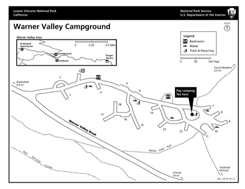
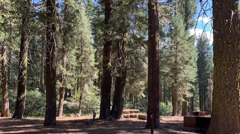
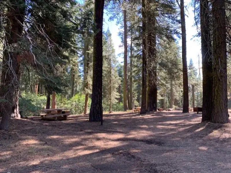
Photos: NPS Map, Mariela Ilieva · courtesy of National Park Service. Click a photo to enlarge.
Warner Valley Campground
Overview
Warner Valley is managed by park concessionaire Snow Mountain, LLC; please visit lassenlodging.com/warner-campground/ to learn more about this campground. This 17-site primitive campground is nestled at the base of a steep mountainside amid conifer trees; access via gravel road. Trailers and RVs are not recommended.
- Operator
- National Park
- Camping types
- Tent
- Sites
- 17 campsites
- Fee
- From $21 per night (confirm with the operator)
- Reservations
- Reservable online
- Phone
- 530-595-6121
Amenities
Location
Nearby adventures
Hikes and trailheads
- PCT - California Section N
A long-distance route from Hwy 70 to McArthur-Burney Falls State Park.
Show on map - Boiling Springs Lake TrailShow on map
- Drake Lake TrailShow on map
- Dream Lake Trail
A trail starting near Drakesbad Trailhead.
Show on map - Terminal Geyser Trail
A loop trail.
Show on map - Bench Lake Trail
A loop trail.
Show on map
Mountain biking
- Bizz Johnson Trail
A mountain-bike route from Susanville (Old Railroad Depot) to Mason Station, maintained by Bureau of Land Management.
Show on map
Scenic sights
- Drakesbad Hot SpringsShow on map
- Pilot MountainShow on map
- Sifford MountainShow on map
- Terminal GeyserShow on map
- Kings Creek Falls Viewpoint
A viewpoint along Kings Creek Trail.
Show on map
Climbing and snow sports
- Coppervale Ski Area
A ski area, operated by Lassen College.
Show on map
Trail and sight data: OpenStreetMap contributors (ODbL).
Reviews
Data sources
Listing details come from the sources above and may be out of date. Confirm fees, dates and closures with the operator before you travel.