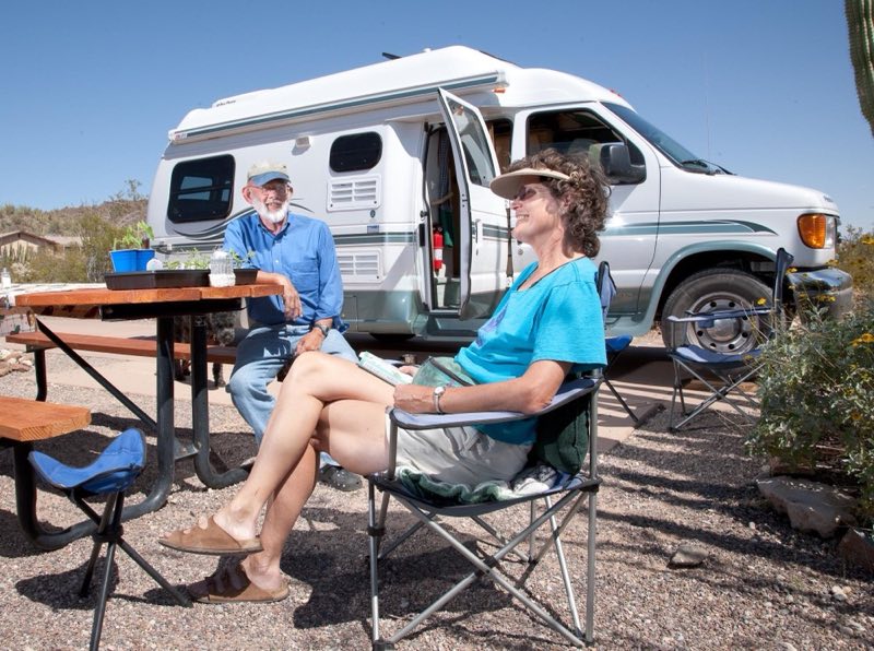
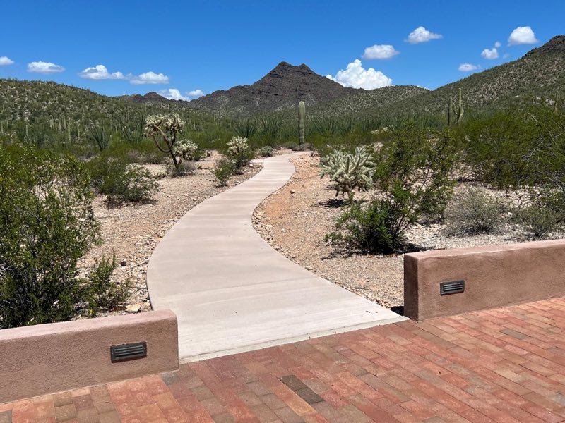
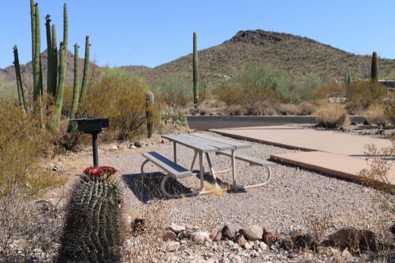
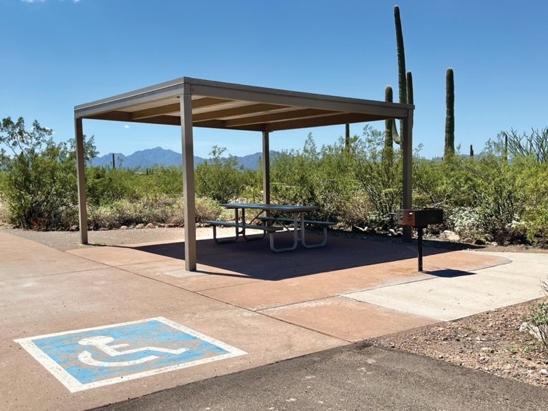
Photos: NPS Photo/ Craig Stocks, NPS Photo/Cate Blanch, NPS Photo/ K Ceballos · courtesy of National Park Service. Click a photo to enlarge.
Twin Peaks Campground
Overview
Twin Peaks Campground is the main, developed campground at Organ Pipe Cactus National Monument, located 1.5 miles from the Kris Eggle Visitor Center and Highway 85. Twin Peaks Campground has 34 tent-only sites and 174 sites for RVs, and several sites can accommodate RVs up to 45 feet in length.
- Operator
- National Park
- Camping types
- Tent, RV
- Sites
- 208 campsites
- Fee
- From $20 per night (confirm with the operator)
- Reservations
- Reservable online
- Phone
- 520-387-6849
Amenities
Location
Nearby adventures
Hikes and trailheads
- Stretch Your Legs on the Campground Perimeter Trail
This short, dog-friendly trail circles Twin Peaks Campground and is ADA accessible in areas! National Park Service
Show on map - Watch the Sunset from Desert View Trail
Searching for that quintessential desert sunset? National Park Service
Show on map - Walk Your Pet along Palo Verde Trail
Easy, pet-friendly trail that connect the Kris Eggle Visitor Center to Twin Peak Campground. National Park Service
Show on map - See Endangered Pupfish Along the Visitor Center Nature Trail
Next to the Kris Eggle Visitor Center is a 1/10th of a mile paved nature trail that loops by a small pond and showcases native Sonoran Desert plant life. National Park Service
Show on map - Victoria Mine Trail
Experience Organ Pipe’s mining history by hiking to Victoria Mine, one of the oldest prospecting sites in southwest Arizona and the heart of gold and silver mining in the Organ Pipe area. National Park Service
Show on map - Senita Basin Loop
Easy loop trail located in a low elevation area on the south side of the Puerto Blanco Mountains. National Park Service
Show on map
Scenic sights
- Diablo MountainsShow on map
- Tillotson PeakShow on map
- Bull Pasture Viewpoint
A viewpoint along Bull Pasture Trail.
Show on map
Trail and sight data: National Park Service and OpenStreetMap contributors (ODbL).
Reviews
Data sources
Listing details come from the sources above and may be out of date. Confirm fees, dates and closures with the operator before you travel.