Photos: NPS Photo · courtesy of National Park Service. Click a photo to enlarge.
Colorado River Primitive Camping Between Glen Canyon Dam and Lees Ferry
Overview
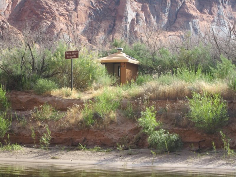
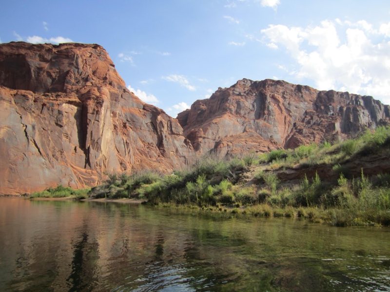
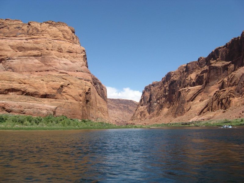
No reservations. Along the fifteen mile stretch of the Colorado River between Glen Canyon Dam and Lees Ferry, there are five primitive beaches set aside for camping, marked with signs, on a first-come, first-served basis. Camping is permitted in these areas only, as they are provided with toilets and fire pits.
- Operator
- National Park
- Camping types
- Tent, Free camping
- Sites
- 5 campsites
- Fee
- Free
- Reservations
- No online reservations listed
Amenities
Location
Nearby adventures
Hikes and trailheads
- Lonely Dell Ranch Historic Site
Hidden between the shade of trees near the muddy Paria River sits Lonely Dell Ranch. National Park Service
Show on map - Lonely Dell Ranch Historic Site
Hidden between the shade of trees near the muddy Paria River sits Lonely Dell Ranch. National Park Service
Show on map - Scramble down Cathedral Wash Trail
Follow Cathedral Wash trail as it climbs down to meet the Colorado River on its sandy bank. National Park Service
Show on map - Scramble down Cathedral Wash Trail
Follow Cathedral Wash trail as it climbs down to meet the Colorado River on its sandy bank. National Park Service
Show on map - Take a stroll to Horseshoe Bend Overlook
Below the rim, the Colorado River makes a wide sweep around a sandstone escarpment. National Park Service
Show on map - Take a stroll to Horseshoe Bend Overlook
Below the rim, the Colorado River makes a wide sweep around a sandstone escarpment. National Park Service
Show on map
Mountain biking
- Red Mesa Rim Trail
A mountain-bike route maintained by City of Page.
Show on map
Rivers and rafting
- Swimming in Lake Powell
Swimming is a popular activity at Lake Powell, especially in the summer when water temperatures can surpass 80 degrees Fahrenheit. National Park Service
Show on map - Swimming in Lake Powell
Swimming is a popular activity at Lake Powell, especially in the summer when water temperatures can surpass 80 degrees Fahrenheit. National Park Service
Show on map
Scenic sights
- Spencer Trail Lookout
A viewpoint along Spencer Trail.
Show on map - Echo Peaks FallShow on map
- Viewpoint Colorado RiverShow on map
- Manson Mesa
A peak near Rimview Trail.
Show on map - Bush Head
Bush Head is a summit in the Coconino County, Arizona. Wikipedia
Show on map
Climbing and snow sports
- 9 foot damShow on map
Trail and sight data: National Park Service and OpenStreetMap contributors (ODbL). Text marked Wikipedia is from Wikipedia under CC BY-SA 4.0, lightly shortened.
Reviews
Data sources
Listing details come from the sources above and may be out of date. Confirm fees, dates and closures with the operator before you travel.