Photos: NPS photo/Cate Blanch, NPS Photo, NPS Photo/ K Ceballos, NPS Photo/Cate Blanch · courtesy of National Park Service. Click a photo to enlarge.
Alamo Canyon Campground
Overview
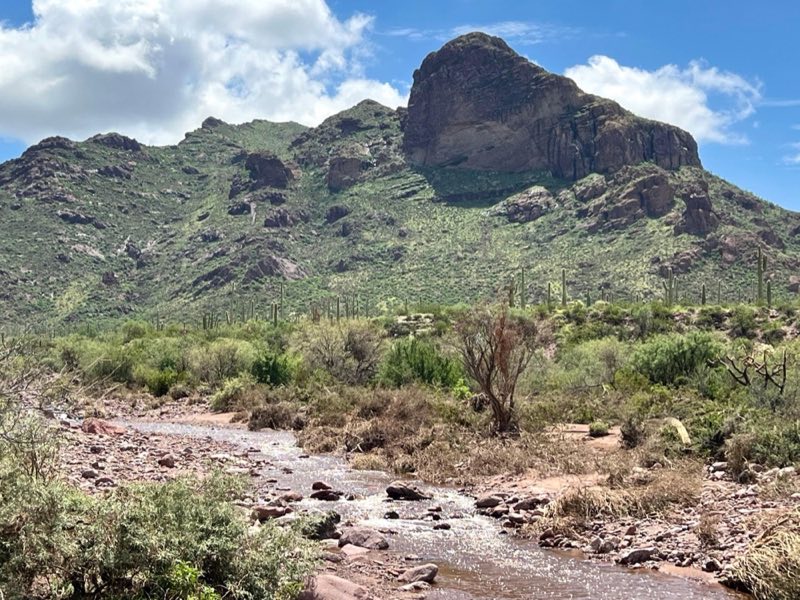
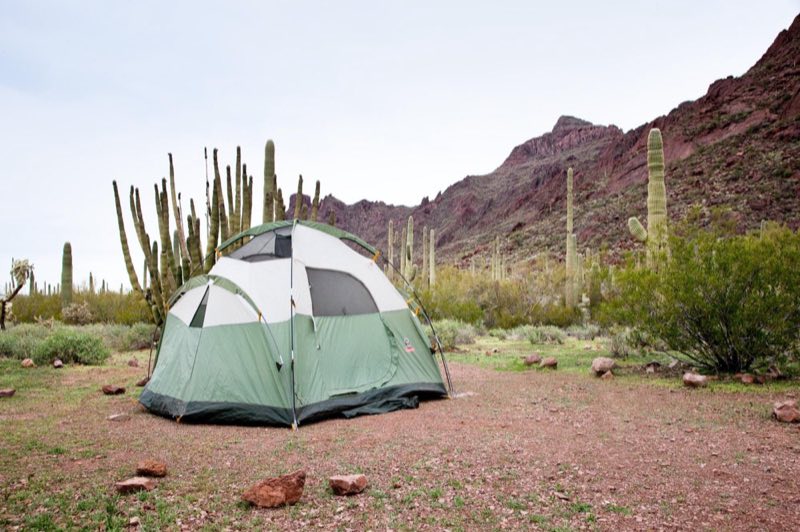
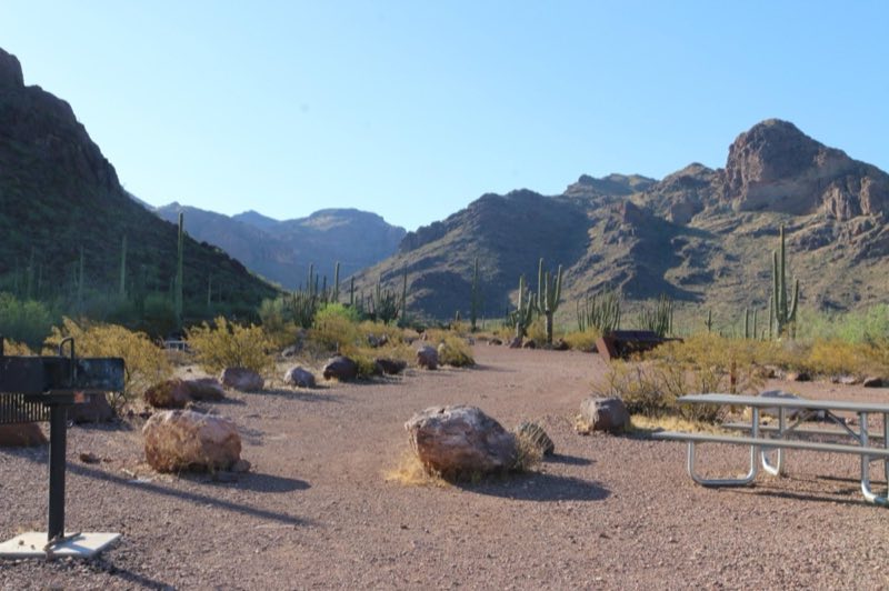
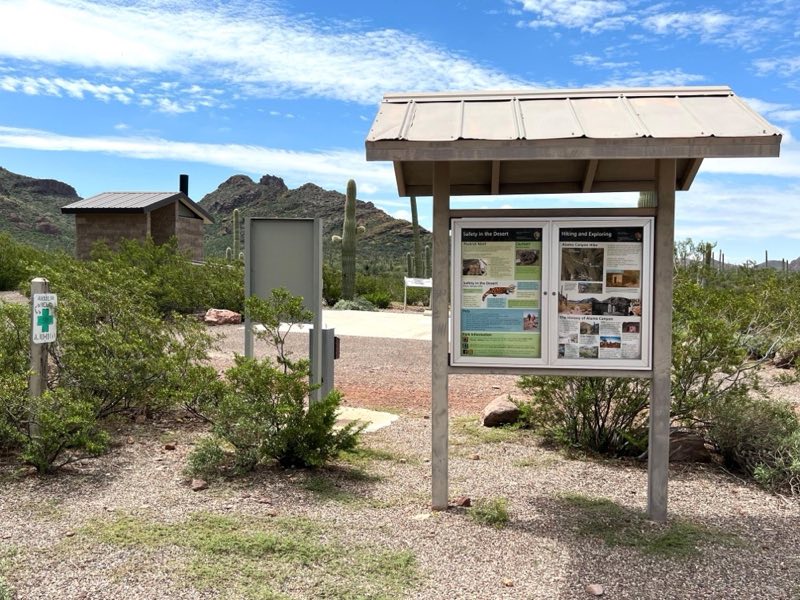
Alamo Canyon Campground is a secluded, four-site campground nestled against rocky mountains at the mouth of Alamo Canyon. This primitive campground features picnic tables, grills, a tent area at each site, and a vault toilet located near bulletin boards.
- Operator
- National Park
- Camping types
- Tent, RV
- Sites
- 4 campsites
- Fee
- From $16 per night (confirm with the operator)
- Reservations
- Reservable online
- Phone
- 520-387-6849
Amenities
Location
Nearby adventures
Hikes and trailheads
- Hike Alamo Canyon
The Alamo Canyon Trail follows an old road to a historic ranch house and corral, and provides ample wildlife and wildflower viewing opportunities. National Park Service
Show on map - Arch Canyon Trail
One of the most photographed sites along the Ajo Mountain Drive are the double arches carved into the mountains. National Park Service
Show on map - Estes Canyon/Bull Pasture Loop
The moderate Estes Canyon trail provides ample wildlife and wildflower viewing opportunities while a steep, strenuous climb up the Bull Pasture spur trail will reward visitors with… National Park Service
Show on map - Hike the Historic Old County Road!
Enjoy scenic views along an 8-mile one-way hike as you explore a historic wagon road through the Sonoran Desert! National Park Service
Show on map - Estes Canyon Trail
A loop trail maintained by Organ Pipe Cactus National Monument.
Show on map - Bull Pasture Trail
A trail maintained by Organ Pipe Cactus National Monument.
Show on map
Scenic sights
- Montezumas HeadShow on map
- Tillotson PeakShow on map
- Bull Pasture Viewpoint
A viewpoint along Bull Pasture Trail.
Show on map
Trail and sight data: National Park Service and OpenStreetMap contributors (ODbL).
Reviews
Data sources
Listing details come from the sources above and may be out of date. Confirm fees, dates and closures with the operator before you travel.