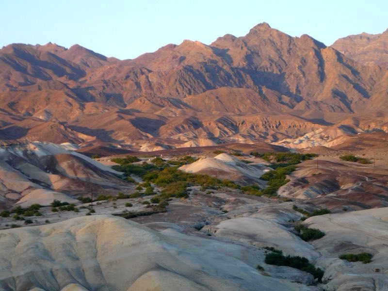
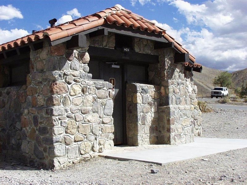
Photos: NPS photo · courtesy of National Park Service. Click a photo to enlarge.
Texas Springs Campground
Overview
Typically open seasonally, late fall through mid-April. First-come, first-served campground located in the hills above Furnace Creek. Great views and some trees. No generators allowed. Each site has a fire grate and picnic table. Fee is paid at pay stations at the front of the campground and in upper loop.
- Operator
- National Park
- Camping types
- Tent, RV
- Sites
- 106 campsites
- Fee
- From $20 per night (confirm with the operator)
- Reservations
- No online reservations listed
- Phone
- 760-786-3200
Amenities
Location
Nearby adventures
Hikes and trailheads
- Harmony Borax Works Self Guided Walk
Harmony Borax Works was instrumental in drawing people to Death Valley in the late 1800s and in the subsequent popularity of the Furnace Creek area. National Park Service
Show on map - Harmony Borax Works Self Guided Walk
Harmony Borax Works was instrumental in drawing people to Death Valley in the late 1800s and in the subsequent popularity of the Furnace Creek area. National Park Service
Show on map - Golden Canyon TrailheadShow on map
- Zabriskie Point TrailheadShow on map
Scenic sights
- Zabriskie Point
The spectacular views from Zabriskie Point are some of the most photographed in Death Valley National Park. OpenStreetMap
Show on map - Wildlife Viewing PlatformShow on map
- Manly BeaconShow on map
- Nevares PeakShow on map
- Dry fallShow on map
Trail and sight data: National Park Service and OpenStreetMap contributors (ODbL).
Reviews
Data sources
Listing details come from the sources above and may be out of date. Confirm fees, dates and closures with the operator before you travel.