Photos: NPS Photo · courtesy of National Park Service. Click a photo to enlarge.
Sunset Campground
Overview
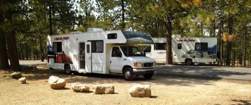
Located west of Sunset Point, approximately 1.5 miles south of the Bryce Canyon Visitor Center, and is comprised of 99 sites in 3 loops; Loop A is primarily for RVs; Loops B & C are tent-only. There are no sewer, water or electrical hook-ups available.
- Operator
- National Park
- Camping types
- Tent, RV
- Sites
- 99 campsites
- Fee
- From $30 per night (confirm with the operator)
- Reservations
- Reservable online
- Phone
- 435-834-4771
Amenities
Location
Nearby adventures
Hikes and trailheads
- Navajo/Peekaboo Combination Loop
Combine two of our most iconic trails, the Navajo and Peekaboo Loop trails, into a a mini Figure-8 combination loop. National Park Service
Show on map - Sunset Point to Sunrise Point Hike
The Rim Trail hike meanders along the rim of the iconic Bryce Canyon Amphitheater, giving you views of the hoodoos below. National Park Service
Show on map - Walk the Rim Trail
The Rim Trail stretches from its beginning in the south at Bryce Point 5.5 miles (8.9 km) north to Fairyland Point. National Park Service
Show on map - Figure-8 Combination
The Figure-8 Combination combines three amphitheater hikes, Queen's Garden, Navajo Loop, and the Peekaboo Loop, into one ultimate hike! National Park Service
Show on map - Queen's Garden Trail
The Queen's Garden Trail is the least difficult of the trails descending from the rim into the Bryce Canyon Amphitheater. National Park Service
Show on map - Queen's/Navajo Combination Loop
Our most popular hike in the park and the one we most recommend to first-time visitors. National Park Service
Show on map
Mountain biking
- Thunder Mountain Trail
A mountain-bike route starting near Thunder Mountain Trailhead.
Show on map
Scenic sights
- Sunset Point
A viewpoint along Navajo Loop Trail.
Show on map - Lower Inspiration Point
A viewpoint along Rim Trail.
Show on map - Tropic Ditch Falls
A waterfall along Mossy Cave Trail.
Show on map - Round Valley DrawShow on map
Climbing and snow sports
- Snowshoe Hikes
Here at 8,000 feet (2,438 m) the scenery changes dramatically in the colder months. National Park Service
Show on map
Trail and sight data: National Park Service and OpenStreetMap contributors (ODbL).
Reviews
Data sources
Listing details come from the sources above and may be out of date. Confirm fees, dates and closures with the operator before you travel.