Photos: Dai Hirota, Ronald E. Diel · courtesy of National Park Service. Click a photo to enlarge.
Fruita Campground
Overview
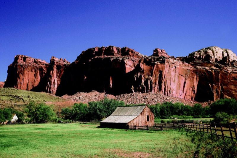
The 71 site Fruita campground is the only developed campground in the park, offering picnic tables, fire rings, restrooms, water and a dump station. A $25 nightly fee is charged. It is open year-round. Campsites are reservable year-round; visit www.recreation.gov to make a reservation.
- Operator
- National Park
- Camping types
- Tent, RV
- Sites
- 71 campsites
- Fee
- From $25 per night (confirm with the operator)
- Reservations
- Reservable online
- Phone
- (435)425-4172(MON-THUR) OR (435)425-3791(FRI-SUN) OR EMAIL CARE_FEES@NPS.GOV
Amenities
Location
Nearby adventures
Hikes and trailheads
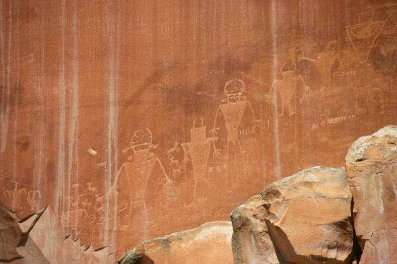
- Visit the Petroglyph Panel
From 600 to 1300 C.E., native people of the Fremont Culture made their home at Capitol Reef. National Park Service
Show on map - Sulphur Creek Top-Down Route
A loop trail starting near Sulphur Creek Trailhead.
Show on map - Cohab Canyon TrailheadShow on map
- Fremont Gorge Overlook TrailheadShow on map
- Hickman Bridge TrailheadShow on map
- SingletreeShow on map
Scenic sights
- South Fruita OverlookShow on map
- Rim OverlookShow on map
- Lower Waterfall
A waterfall along Sulphur Creek Top-Down Route.
Show on map - Ferns Nipple
Ferns Nipple is a 7,065-foot elevation summit located in Capitol Reef National Park, in Wayne County of Utah, United States. Wikipedia
Show on map - Middle Waterfall
A waterfall along Sulphur Creek Top-Down Route.
Show on map
Trail and sight data: National Park Service and OpenStreetMap contributors (ODbL) and Recreation.gov. Text marked Wikipedia is from Wikipedia under CC BY-SA 4.0, lightly shortened.
Reviews
Data sources
Listing details come from the sources above and may be out of date. Confirm fees, dates and closures with the operator before you travel.