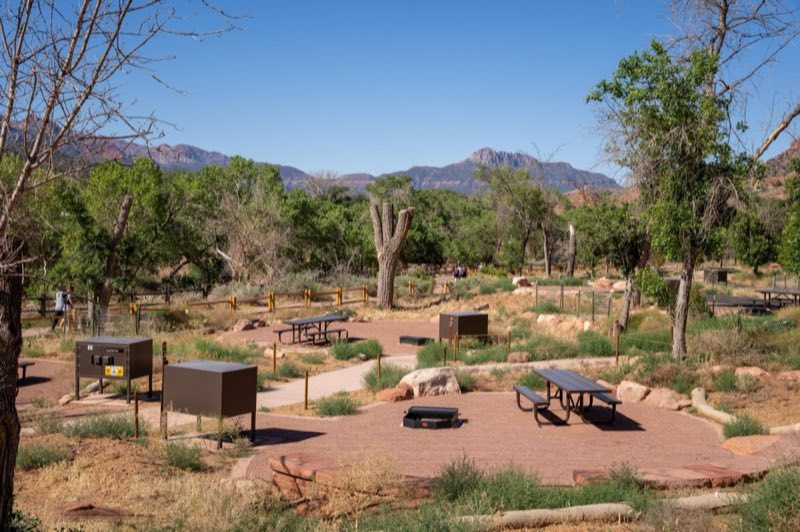
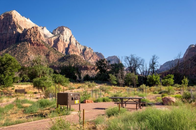
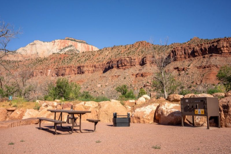
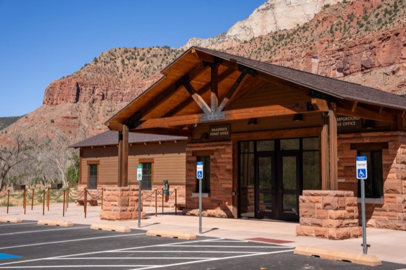
Photos: NPS Photo / Abi Farish · courtesy of National Park Service. Click a photo to enlarge.
South Campground
Overview
South Campground is located between the Zion Canyon Visitor Center and Zion Nature Center, ½ mile from the South Entrance in Springdale, Utah. Campsites are typically available from mid-March through October 31.
- Operator
- National Park
- Camping types
- Tent, RV
- Sites
- 124 campsites
- Fee
- From $35 per night (confirm with the operator)
- Reservations
- Reservable online
- Phone
- 435-772-3256
Amenities
Location
Nearby adventures
Hikes and trailheads
- Pa'rus Trail
Pa’rus is Paiute for “bubbling water.” The Pa’rus Trail follows the Virgin River and has some of the best views of the Watchman. National Park Service
Show on map - Canyon Overlook
Rocky and uneven trail ends at a viewpoint for Pine Creek Canyon and lower Zion Canyon. National Park Service
Show on map - Middle Emerald Pools Trail
Middle Emerald Pools Trail is a moderate hike along an unpaved sandstone ledge above the Lower Emerald Pool Trail. National Park Service
Show on map - Sand Bench
The Sand Bench Trail travels atop the remains of an ancient rockfall. National Park Service
Show on map - Upper Emerald Pools Trail
Upper Emerald Pools Trail is a moderate, 1 mile (1.6 km) trail that can be accessed via the Kayenta Trail, Lower Emerald Pools Trail, or Middle Emerald Pools Trail. National Park Service
Show on map - Angels Landing
On and after April 1, 2022 hikers continuing to Angels Landing from Scout Lookout are required to have a permit, obtained on recreation.gov. National Park Service
Show on map
Scenic sights
- Bridge Mountain
Bridge Mountain is a 6,803-foot mountain made of Navajo Sandstone in Zion National Park in Washington County, of southwest Utah, United States. Wikipedia
Show on map - Watchman Overlook
A viewpoint along Watchman Trail.
Show on map - Bee Hive
Bee Hive is a 6,904 feet Navajo Sandstone mountain in Zion National Park in Washington County, Utah, United States, that is part of the Towers of the Virgin. Wikipedia
Show on map - Lower Pine Creek WaterfallShow on map
- Canyon OverlookShow on map
Climbing and snow sports
- Deer Hollow Non-Motorized Winter Recreation Area
A ski area, operated by USFS.
Show on map
Trail and sight data: National Park Service and OpenStreetMap contributors (ODbL). Text marked Wikipedia is from Wikipedia under CC BY-SA 4.0, lightly shortened.
Reviews
Data sources
Listing details come from the sources above and may be out of date. Confirm fees, dates and closures with the operator before you travel.