Photos: NPS Photo, NPS/Jacob W. Frank · courtesy of National Park Service. Click a photo to enlarge.
St. Mary Campground
Overview
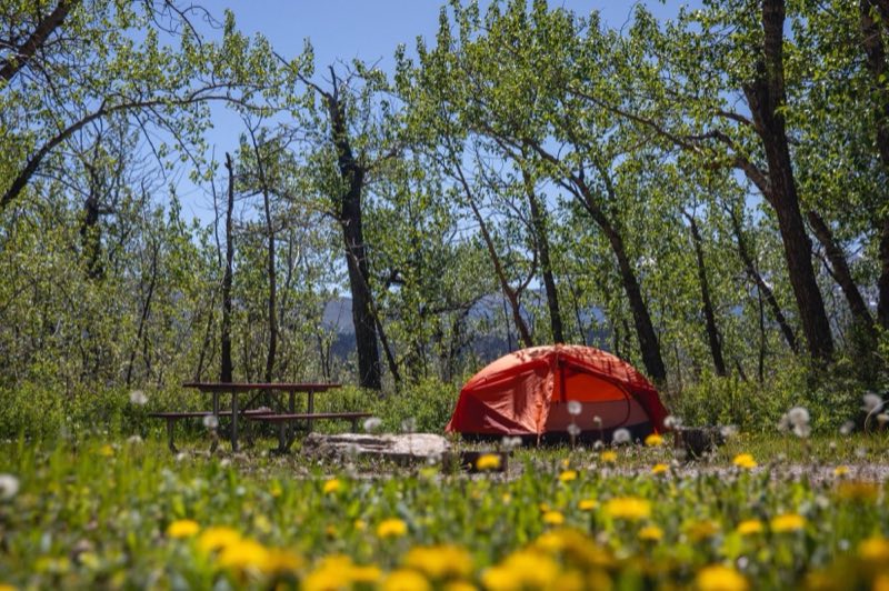
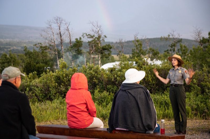
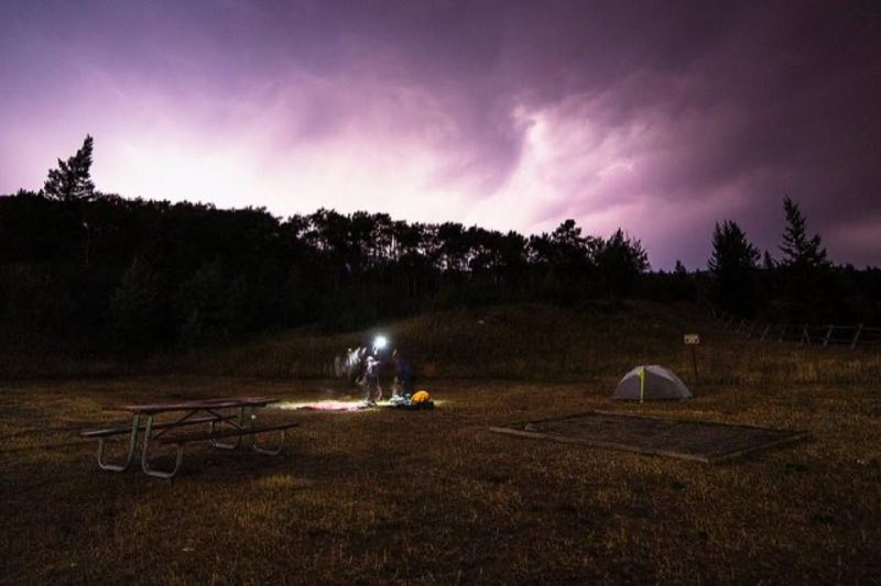
St. Mary Campground is the largest campground on the east side of Glacier National Park and is open year-round. Activities such as interpretive programs, book sales, and shuttle service tours are located at the nearby St. Mary Visitor Center. St. Mary requires a reservation throughout the season.
- Operator
- National Park
- Camping types
- Tent
- Sites
- 148 campsites
- Reservations
- Reservable online
- Phone
- 18774446777
Amenities
Location
Nearby adventures
Hikes and trailheads
- Red Eagle TrailheadShow on map
- CDT - Idaho & Montana SectionShow on map
- CDT - Idaho & Montana SectionShow on map
- CDT - Idaho & Montana SectionShow on map
- Rising Sun TrailShow on map
- Otokomi Lake TrailheadShow on map
Scenic sights
- Napi Rock
Napi Rock (7,487 feet) is located in the Lewis Range, Glacier National Park in the U.S. state of Montana. Wikipedia
Show on map - Singleshot Mountain
Singleshot Mountain (7,930 feet) is located in the Lewis Range, Glacier National Park in the U.S. state of Montana. Wikipedia
Show on map - Sunset ViewpointShow on map
- Golden StaircaseShow on map
- Baring Falls
A 25-foot waterfall along Piegan Pass Trail.
Show on map
Trail and sight data: OpenStreetMap contributors (ODbL). Text marked Wikipedia is from Wikipedia under CC BY-SA 4.0, lightly shortened.
Reviews
Data sources
Listing details come from the sources above and may be out of date. Confirm fees, dates and closures with the operator before you travel.