Photos: NPS/Gabriel Morrow, NPS/Jon Riner, NPS, NPS Photo · courtesy of National Park Service. Click a photo to enlarge.
Many Glacier Campground
Overview
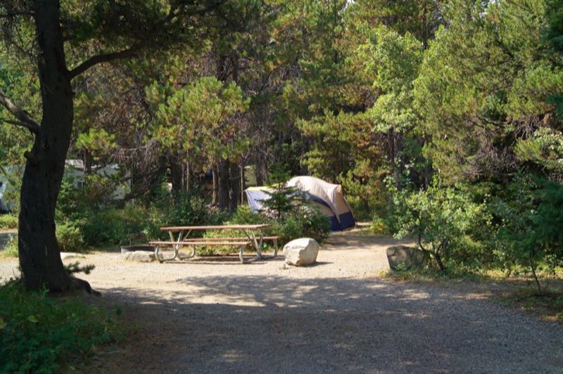
The campground at Many Glacier is one of the most popular campgrounds in Glacier National Park. The campground is situated within trees for tent and RV campers, though there are only 13 sites that can accommodate vehicles up to 35 feet in length.
- Operator
- National Park
- Camping types
- Tent
- Sites
- 109 campsites
- Reservations
- Reservable online
- Phone
- 18774446777
Amenities
Location
Nearby adventures
Hikes and trailheads
- CDT - Idaho & Montana SectionShow on map
- CDT - Idaho & Montana SectionShow on map
- CDT - Idaho & Montana SectionShow on map
- Ptarmigan TrailShow on map
- Piegan Pass Trail
A trail starting near Piegan Pass at Sun Point Trailhead.
Show on map - CDT fccCM - Chief Mountain Route to CanadaShow on map
Scenic sights
- Altyn Peak
Altyn Peak is located in the Lewis Range, Glacier National Park in the U.S. state of Montana. Wikipedia
Show on map - Mount Henkel
Mount Henkel (8,774 feet) is located in the Lewis Range, Glacier National Park in the U.S. state of Montana. Wikipedia
Show on map - Apikuni FallsShow on map
- Swiftcurrent Falls
A waterfall along CDT fccCM - Chief Mountain Route to Canada.
Show on map - Redrock FallsShow on map
Climbing and snow sports
- Whitefish Mountain ResortShow on map
Trail and sight data: OpenStreetMap contributors (ODbL). Text marked Wikipedia is from Wikipedia under CC BY-SA 4.0, lightly shortened.
Reviews
Data sources
Listing details come from the sources above and may be out of date. Confirm fees, dates and closures with the operator before you travel.