Photos: NPS/Gabriel Morrow · courtesy of National Park Service. Click a photo to enlarge.
Sprague Creek Campground
Overview
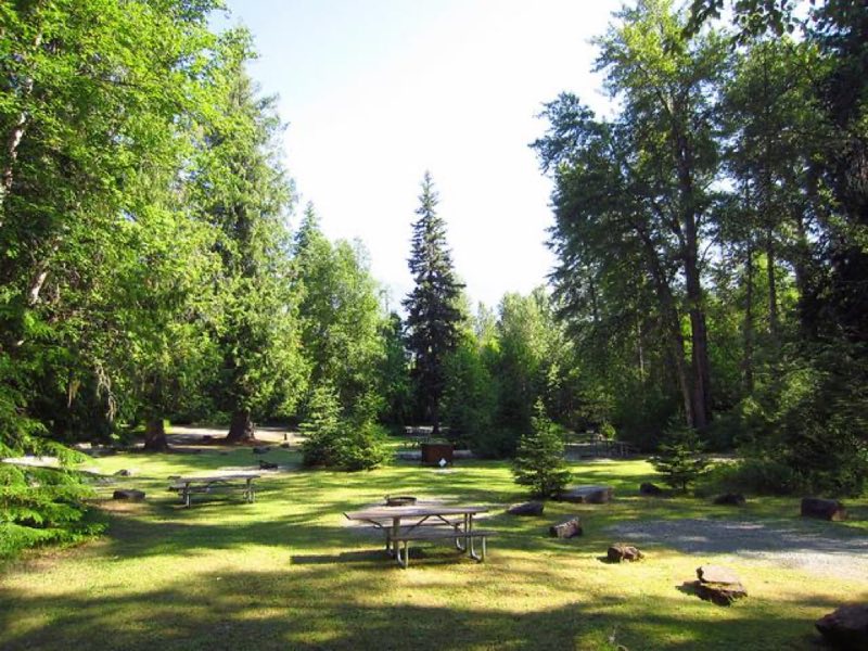
Sprague Creek is a small campground located on the northeast shore of Lake McDonald, just off Going-to-the-Sun Road. Towed units (vehicle plus unit) and RVs exceeding 21 feet are not permitted in this campground. The campground is located within trees, providing shade during warm summers.
- Operator
- National Park
- Camping types
- Tent
- Sites
- 25 campsites
- Reservations
- Reservable online
- Phone
- 18774446777
Amenities
Location
Nearby adventures
Hikes and trailheads
- Lincoln Lake TrailheadShow on map
- Sperry TrailheadShow on map
- Johns Lake TrailheadShow on map
- CDT - Idaho & Montana SectionShow on map
- CDT - Idaho & Montana SectionShow on map
- CDT - Idaho & Montana SectionShow on map
Mountain biking
- Great Divide Mountain Bike Route
A long distance touring route from Banff, Alberta to Antelope Wells, New Mexico. OpenStreetMap
Show on map
Scenic sights
- McDonald FallsShow on map
- Stanton Mountain
Stanton Mountain is a 7,750 feet mountain summit located in the Livingston Range, of Glacier National Park in the U.S. state of Montana. Wikipedia
Show on map - Mount Brown
Mount Brown (8,569 feet) is located in the Lewis Range, Glacier National Park in the U.S. state of Montana. Wikipedia
Show on map - Akaiyan Falls
Akaiyan Falls is an ephemeral waterfall located in Glacier National Park, Montana in the United States. Wikipedia
Show on map - McDonald Creek OverlookShow on map
Climbing and snow sports
- Whitefish Mountain ResortShow on map
Trail and sight data: OpenStreetMap contributors (ODbL). Text marked Wikipedia is from Wikipedia under CC BY-SA 4.0, lightly shortened.
Reviews
Data sources
Listing details come from the sources above and may be out of date. Confirm fees, dates and closures with the operator before you travel.