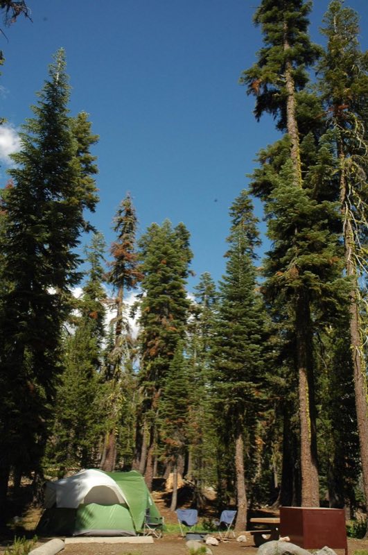
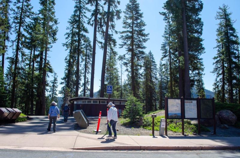
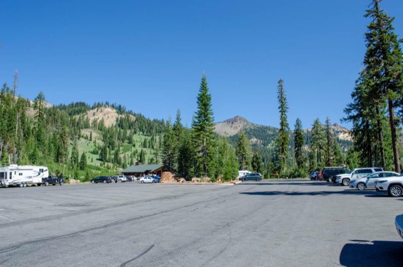
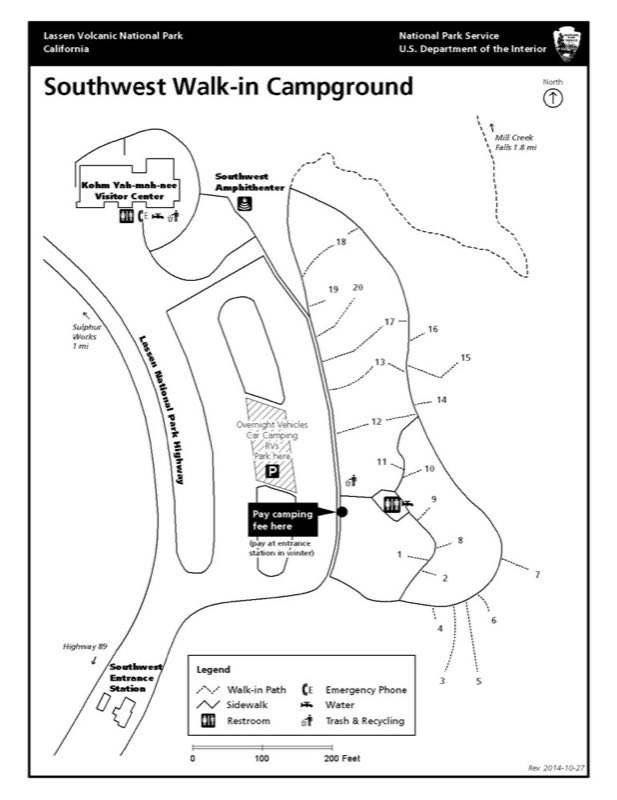
Photos: NPS Photo, NPS Map · courtesy of National Park Service. Click a photo to enlarge.
Southwest Campground - Summer/Fall
Overview
Opens May 16, 2026 The Southwest Walk-in Campground is located on the east side of the Kohm Yah-mah-nee Visitor Center parking area. A short walk along a paved walkway provides easy access to each site. This campground also includes 15 parking lot sites.
- Operator
- National Park
- Camping types
- Tent
- Sites
- 35 campsites
- Fee
- From $16 per night (confirm with the operator)
- Reservations
- No online reservations listed
- Phone
- 530-595-6121
Amenities
Location
Nearby adventures
Hikes and trailheads
- Mill Creek Falls TrailShow on map
- Brokeoff Mountain TrailShow on map
- Ridge Lakes TrailShow on map
- Bumpass Hell TrailShow on map
- Crumbaugh Lake TrailShow on map
- Walk Manzanita Lake Trail
Manzanita Lake Trail is an easy, mostly flat walk suitable for families with young children. National Park Service
Show on map
Scenic sights
- Diamond PeakShow on map
- Brokeoff Mountain
A peak along Brokeoff Mountain Trail.
Show on map - Mill Creek Falls Viewpoint
A viewpoint along Crumbaugh Lake Trail.
Show on map - Mill Creek Falls
A waterfall along Crumbaugh Lake Trail.
Show on map - Bluff FallsShow on map
Climbing and snow sports
- Coppervale Ski Area
A ski area, operated by Lassen College.
Show on map
Trail and sight data: OpenStreetMap contributors (ODbL) and National Park Service.
Reviews
Data sources
Listing details come from the sources above and may be out of date. Confirm fees, dates and closures with the operator before you travel.