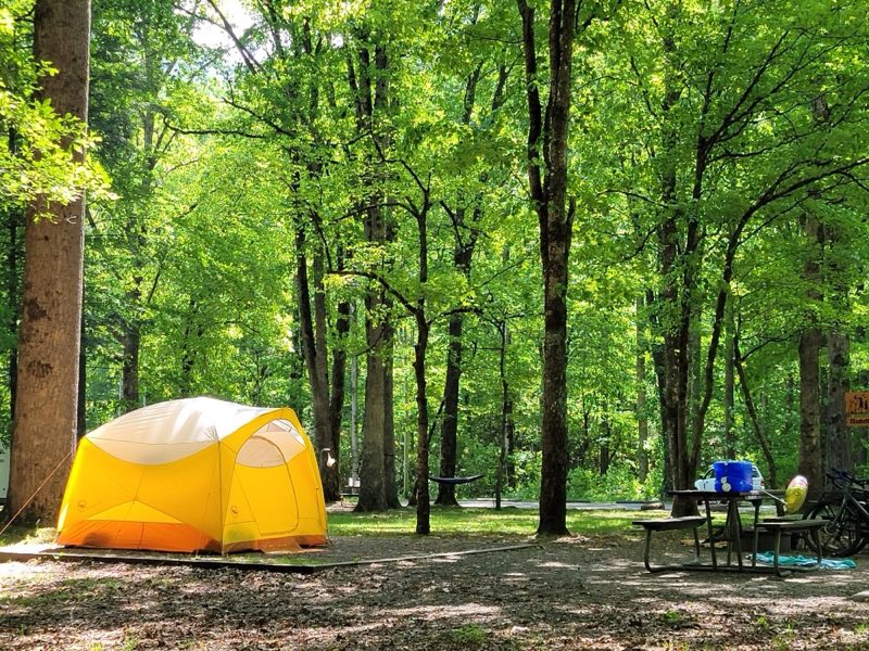
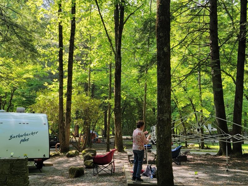
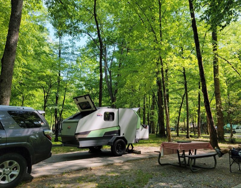
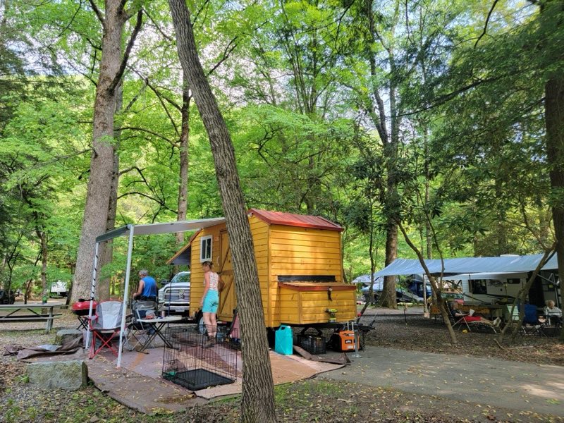
Photos: NPS Photo · courtesy of National Park Service. Click a photo to enlarge.
Smokemont Campground
Overview
Smokemont Campground—open year-round—is the closest family campground to Oconaluftee Visitor Center in the South District of the park. At 2,198 feet (670 m), winters are mild and summers are hot and humid. Tent and RV campsites, flush toilets, and drinking water are available. No hookups or showers.
- Operator
- National Park
- Camping types
- Tent, RV
- Sites
- 142 campsites
- Fee
- From $30 per night (confirm with the operator)
- Reservations
- Reservable online
- Phone
- 828-497-9270
Amenities
Location
Nearby adventures
Hikes and trailheads
- Smokemont Nature Trail
Hike 0.62-mile (1 km) roundtrip on Smokemont Nature Trail which provides a peaceful escape and views of the surrounding peaks. National Park Service
Show on map - Smokemont Nature Trail
Hike 0.62-mile (1 km) roundtrip on Smokemont Nature Trail which provides a peaceful escape and views of the surrounding peaks. National Park Service
Show on map - Bradley Fork Trail
The Bradley Fork Trail offers a scenic and diverse outdoor experience, featuring picturesque creeks, seasonal wildflowers, fishing access, horseback riding opportunities, and backcountry… National Park Service
Show on map - Bradley Fork Trail
The Bradley Fork Trail offers a scenic and diverse outdoor experience, featuring picturesque creeks, seasonal wildflowers, fishing access, horseback riding opportunities, and backcountry… National Park Service
Show on map - Hike to Chasteen Creek Cascade
This trail is wide, well-graded, and regularly used by both hikers and horse riders. National Park Service
Show on map - Hike to Chasteen Creek Cascade
This trail is wide, well-graded, and regularly used by both hikers and horse riders. National Park Service
Show on map
Scenic sights
- Mount ClarkShow on map
- Mount Stand WatieShow on map
- Chasteen Creek CascadeShow on map
- Hitchin Post FallsShow on map
- Raven Fork Overlook (MP 467.9)Show on map
Climbing and snow sports
- Cataloochee Ski AreaShow on map
Trail and sight data: National Park Service and OpenStreetMap contributors (ODbL).
Reviews
Data sources
Listing details come from the sources above and may be out of date. Confirm fees, dates and closures with the operator before you travel.