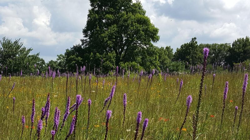
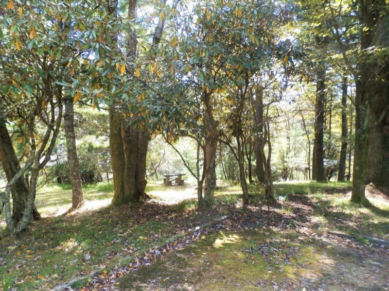
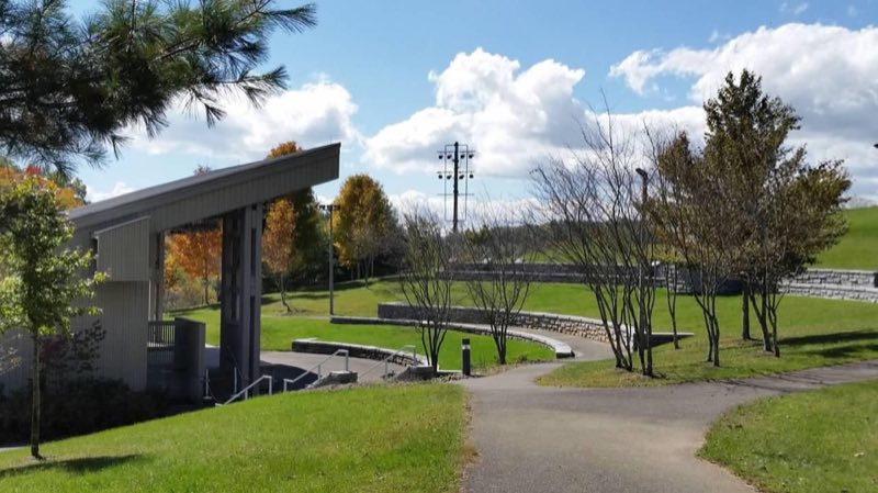
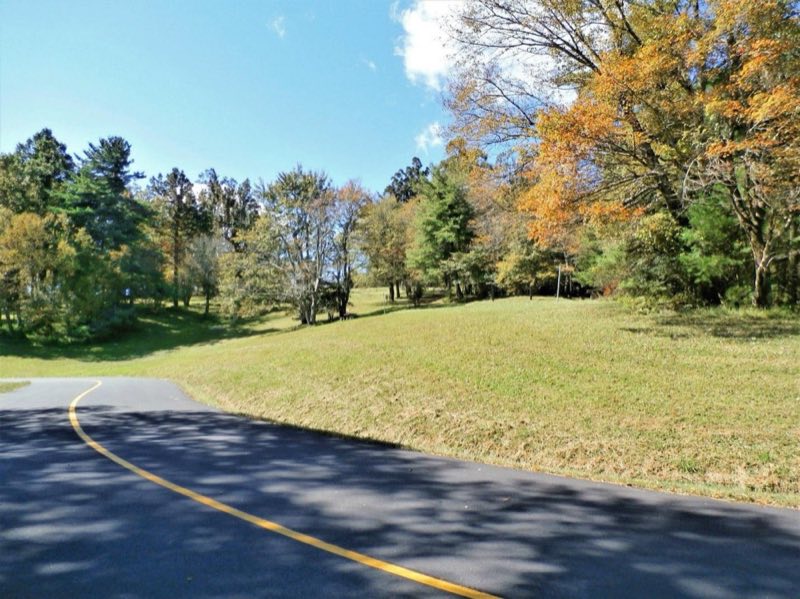
Photos: NPS Photo, NPS photo · courtesy of National Park Service. Click a photo to enlarge.
Doughton Park Campground
Overview
Doughton Park Campground is nestled in a landscape of mountains and open meadows. Explore the history of early settlers, enjoy spectacular shows of flame azalea and rhododendron, stretch your legs on area hiking trails, and view wildlife such as white-tailed deer, raccoons, red and gray foxes, and bobcats.
- Operator
- National Park
- Camping types
- Tent, RV
- Sites
- 108 campsites
- Fee
- From $30 per night (confirm with the operator)
- Reservations
- Reservable online
- Phone
- 336-372-8877
Amenities
Location
Nearby adventures
Hikes and trailheads
- Mountains-to-Sea Trail: Segment 5
The Mountains-to-Sea Trail is a developing long distance hiking trail, which connects the Great Smokys to the Outer Banks. OpenStreetMap
Show on map - Mountains-to-Sea Trail: Segment 6
The Mountains-to-Sea Trail is a developing long distance hiking trail, which connects the Great Smokys to the Outer Banks. OpenStreetMap
Show on map - Sparta Trail
The Sparta Trail is a developing local hiking trail, which is planned to connects the Mountains-to-Sea Trail to Bullhead Mountain and Sparta North Carolina. OpenStreetMap
Show on map - Bluff Mountain Trail
A trail maintained by National Park Service.
Show on map - Fodder Stack Trail
A trail maintained by National Park Service.
Show on map - Basin Creek Trail
A trail maintained by National Park Service.
Show on map
Scenic sights
- Fodder Stack
A peak along Fodder Stack Trail.
Show on map - Sheep RockShow on map
- Air Bellows OverlookShow on map
- Wildcat Rock Overlook
A viewpoint along Fodder Stack Trail.
Show on map - Incredible Falls
A 98-foot waterfall.
Show on map
Climbing and snow sports
- Big PinnacleShow on map
- Appalachian Mountain Ski AreaShow on map
Trail and sight data: OpenStreetMap contributors (ODbL).
Reviews
Data sources
Listing details come from the sources above and may be out of date. Confirm fees, dates and closures with the operator before you travel.