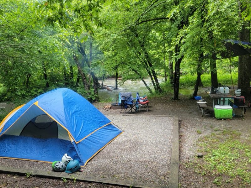
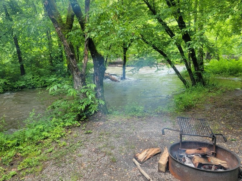
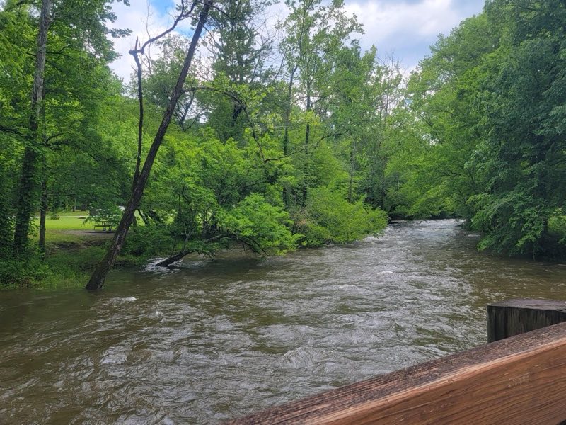
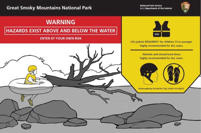
Photos: NPS Photo, NPS · courtesy of National Park Service. Click a photo to enlarge.
Deep Creek Campground
Overview
Deep Creek Campground is located next to one of the park's most popular creeks. With an elevation of 1,800 feet (549 m), the climate is characterized by mild winters and hot, humid summers. Whether blanketed in bright spring wildflowers or vivid fall colors, the scenery at Deep Creek never disappoints.
- Operator
- National Park
- Camping types
- Tent, RV
- Sites
- 92 campsites
- Fee
- From $30 per night (confirm with the operator)
- Reservations
- Reservable online
- Phone
- 828-488-3184
Amenities
Location
Nearby adventures
Hikes and trailheads
- Deep Creek Waterfalls Loop
See three waterfalls on a loop around the Deep Creek area. National Park Service
Show on map - Deep Creek Waterfalls Loop
See three waterfalls on a loop around the Deep Creek area. National Park Service
Show on map - Deep Creek Trail to Indian Creek Falls
Hike 1.6 miles (2.6 km) roundtrip along Deep Creek, which features views of two waterfalls, Tom Branch Falls and Indian Creek Falls. National Park Service
Show on map - Deep Creek Trail to Indian Creek Falls
Hike 1.6 miles (2.6 km) roundtrip along Deep Creek, which features views of two waterfalls, Tom Branch Falls and Indian Creek Falls. National Park Service
Show on map - Mountains-to-Sea Trail: Segment 1
The Mountains-to-Sea Trail is a developing long distance hiking trail, which connects the Great Smokys to the Outer Banks. OpenStreetMap
Show on map - Mountains-to-Sea Trail: Segment 1
The Mountains-to-Sea Trail is a developing long distance hiking trail, which connects the Great Smokys to the Outer Banks. OpenStreetMap
Show on map
Scenic sights
- Worley KnobShow on map
- Juney Whank Falls
A waterfall near Deep Creek Trail.
Show on map - Tom Branch Falls
A 49-foot waterfall along Deep Creek Trail.
Show on map - Kelly Bennet PeakShow on map
- Lonesome Pine OverlookShow on map
Climbing and snow sports
- Ober MountainShow on map
Trail and sight data: National Park Service and OpenStreetMap contributors (ODbL).
Reviews
Data sources
Listing details come from the sources above and may be out of date. Confirm fees, dates and closures with the operator before you travel.