Photos: NPS Photo, NPS · courtesy of National Park Service. Click a photo to enlarge.
Potwisha Campground
Overview
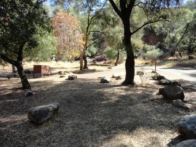
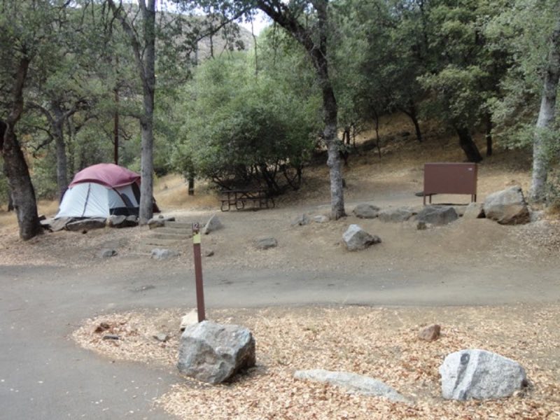
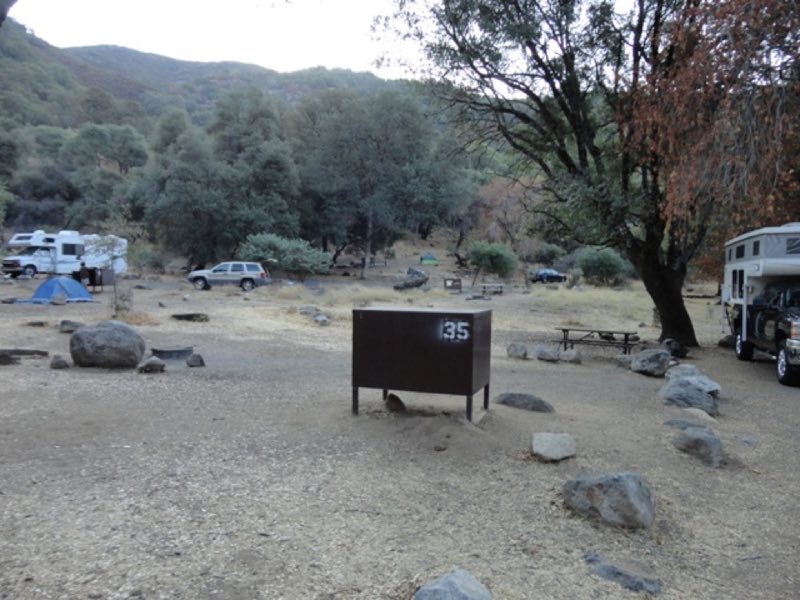
Open year-round except when weather or safety conditions require a closure. Reservations can be made up to four months in advance. All sites are reservation only. The campground sits at 2,100 ft (640 m) elevation along the Middle Fork of the Kaweah River under an open stand of oaks.
- Operator
- National Park
- Camping types
- Tent, RV
- Sites
- 42 campsites
- Fee
- From $32 per night (confirm with the operator)
- Reservations
- Reservable online
- Phone
- 559-565-3341
Amenities
Location
Nearby adventures
Hikes and trailheads
- Paradise Creek
Explore Paradise Canyon in the Foothills of Sequoia National Park. National Park Service
Show on map - Moro Rock
A stone and concrete stairway leads to the top of Moro Rock, a granite dome that towers over the Generals Highway. National Park Service
Show on map - Hike to a Bird's Eye View
Take a short hike to little-known viewpoint, called Eagle View. National Park Service
Show on map - View Sunset from Sunset Rock
Are you looking for the perfect spot for sunset? National Park Service
Show on map - Crescent Meadow
The Crescent Meadow Trail is an ideal place for photography and a relaxing walk. National Park Service
Show on map - Marble Falls TrailheadShow on map
Mountain biking
- Bike the River Road
Explore this little-known dirt road in Kings Canyon National Park: the River Road in Cedar Grove. National Park Service
Show on map
Scenic sights
- Cactus PointShow on map
- Switchback PeakShow on map
- Amphitheater PointShow on map
- Admiration PointShow on map
- Marble FallsShow on map
Climbing and snow sports
- Snowshoe with a Ranger
Our popular ranger-guided snowshoe walks are a great way to explore snowy trails. National Park Service
Show on map
Trail and sight data: National Park Service and OpenStreetMap contributors (ODbL).
Reviews
Data sources
Listing details come from the sources above and may be out of date. Confirm fees, dates and closures with the operator before you travel.