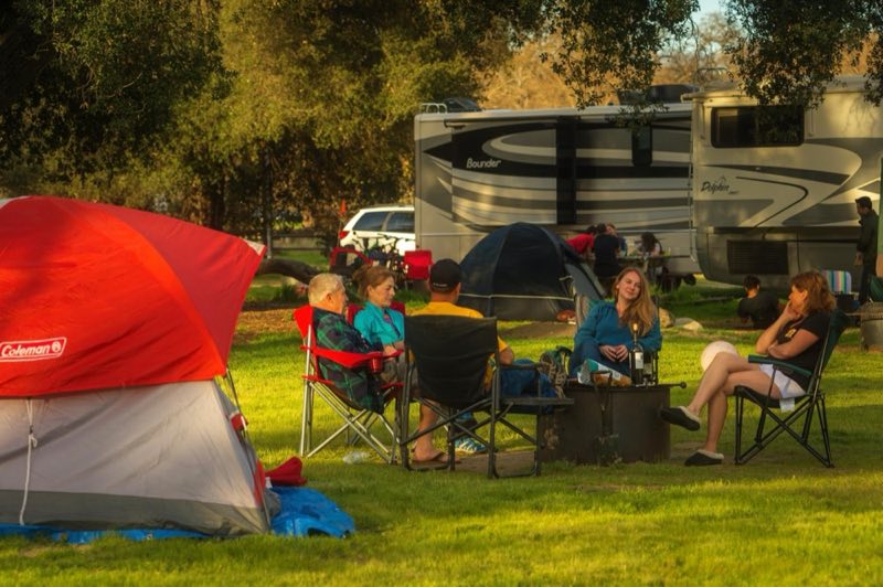
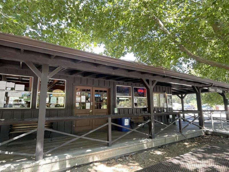
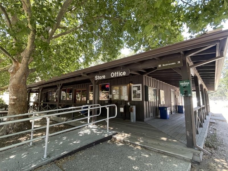
Photos: NPS Photo/Kurt Moses, NPS Photo/Kelsey Frusetta · courtesy of National Park Service. Click a photo to enlarge.
Pinnacles Campground
Overview
Pinnacles Campground is run by Pinnacles Recreation Company. The campground offers tent and group camping, tent cabins, and RV sites. Each tent and group site has a picnic table and fire ring. Most RV sites have electrical hookups and share community tables and barbecue pits. Some tent cabins have electricity.
- Operator
- National Park
- Camping types
- Tent, RV
- Sites
- 134 campsites
- Fee
- From $43 per night (confirm with the operator)
- Reservations
- Reservable online
Amenities
Location
Nearby adventures
Hikes and trailheads
- Bench Trail to Balconies Cave Trail
East Side Trails, Moderate Hikes, Cave Hike. National Park Service
Show on map - Bacon-Butterfield Ranch Trail
East Side Trails, Easy Hikes, Bicycle and pet friendly. National Park Service
Show on map - Old Pinnacles Trail to Balconies Cave
East Side Trails, Moderate Hikes, Cave Hike. National Park Service
Show on map - Condor Gulch Trail to High Peaks Trail Loop
East Side Trails, Strenuous Hikes, Loop Hike. National Park Service
Show on map - High Peaks to Bear Gulch Loop
East Side Trails, Strenuous Hikes, Loop Hike. National Park Service
Show on map - Moses Spring Trail to Rim Trail Loop
East Side Trails, Moderate Hikes, Loop Hike, Cave Hike. National Park Service
Show on map
Scenic sights
- TelescopesShow on map
- Mount DefianceShow on map
- Hawkins Peak
A peak near High Peaks Trail.
Show on map - Fern ChamberShow on map
- Teaching Rock
A viewpoint along Moses Spring Trail.
Show on map
Climbing and snow sports
- Rock Climbing the East Side of Pinnacles National ParkShow on map
- Machete RidgeShow on map
- Tourist TrapShow on map
Trail and sight data: National Park Service and OpenStreetMap contributors (ODbL).
Reviews
Data sources
Listing details come from the sources above and may be out of date. Confirm fees, dates and closures with the operator before you travel.