Photos: NPS Photo, NPS photo/Hamel · courtesy of National Park Service. Click a photo to enlarge.
Peaks of Otter Campground
Overview
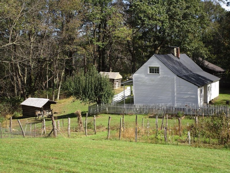
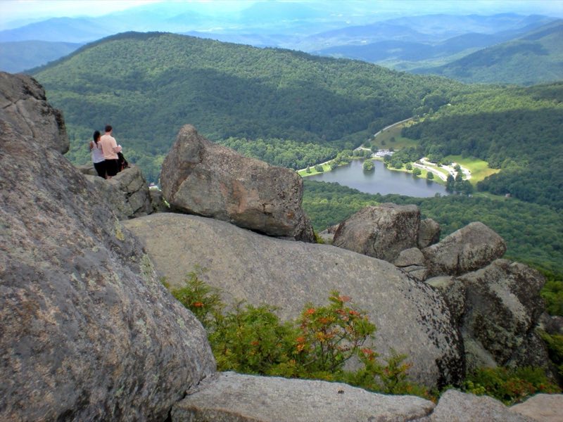
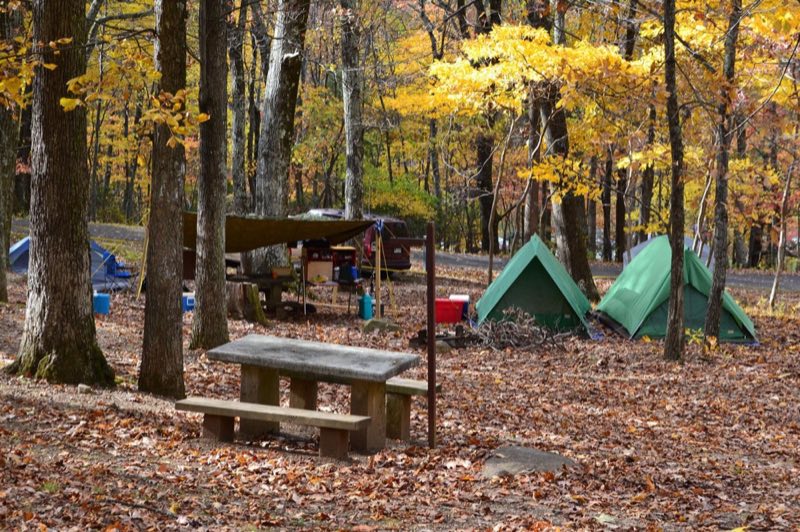
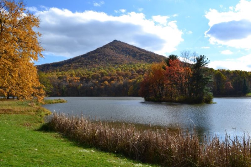
The campground is nestled at the base of two mountains in the rolling hills of Virginia. Nearby Abbott Lake is well-stocked with small mouth bass and bluegill. A stream winds through the campground, creating a tranquil backdrop for your camping trip.
- Operator
- National Park
- Camping types
- Tent, RV
- Sites
- 139 campsites
- Fee
- From $30 per night (confirm with the operator)
- Reservations
- Reservable online
- Phone
- 540-586-7321
Amenities
Location
Nearby adventures
Hikes and trailheads
- Sharp Top TrailShow on map
- Harkening Hill Loop
A loop trail.
Show on map - Flat Top Trail
A trail starting near Flat Top Mountain.
Show on map - Glenwood Horse TrailShow on map
- Appalachian Trail
The Appalachian Trail, also called the A.T., is a hiking trail in the Eastern United States, extending almost 2,200 miles between Springer Mountain in Georgia and Mount Katahdin in Maine… Wikipedia
Show on map - Appalachian Trail
The Appalachian Trail, also called the A.T., is a hiking trail in the Eastern United States, extending almost 2,200 miles between Springer Mountain in Georgia and Mount Katahdin in Maine… Wikipedia
Show on map
Scenic sights
- Sunset Hill
A peak near Sharp Top Trail.
Show on map - Sharp Top Mountain
A peak along Sharp Top Trail.
Show on map - Falling Water CascadesShow on map
- Headforemost Mountain OverlookShow on map
- Black Rock Hill OverlookShow on map
Climbing and snow sports
- Devils Marbleyard
A climbing area with trad and top-rope routes and bouldering.
Show on map - SnowflexShow on map
Trail and sight data: OpenStreetMap contributors (ODbL). Text marked Wikipedia is from Wikipedia under CC BY-SA 4.0, lightly shortened.
Reviews
Data sources
Listing details come from the sources above and may be out of date. Confirm fees, dates and closures with the operator before you travel.