Photos: NPS Photo, Paula Keeter Britt · courtesy of National Park Service. Click a photo to enlarge.
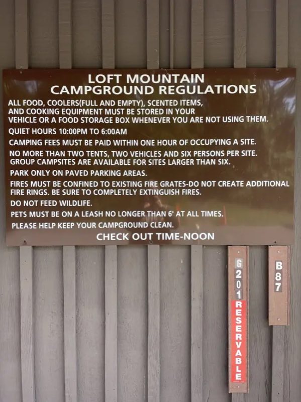
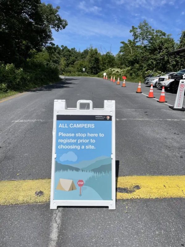
Loft Mountain Campground
Overview
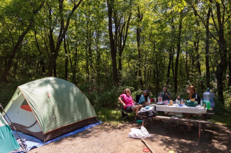
2026 Closing Date: November 1 Loft Mountain (mile 79.5) sits atop Big Flat Mountain in the southern part of Shenandoah National Park, with outstanding views to east and west. Two waterfalls and the trails into the Big Run Wilderness area are nearby.
- Operator
- National Park
- Camping types
- Tent
- Sites
- 207 campsites
- Fee
- From $30 per night (confirm with the operator)
- Reservations
- Reservable online
- Phone
- 540-999-3500
Amenities
Location
Nearby adventures
Hikes and trailheads
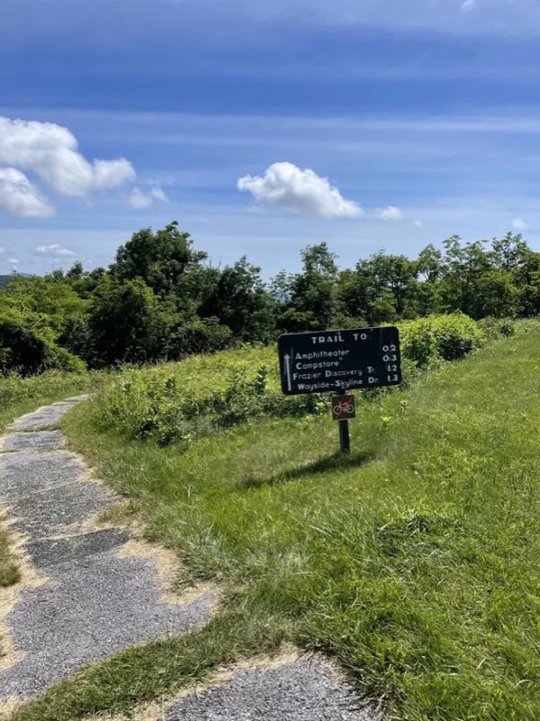
- Frazier Discovery Trail
Loft Mountain Wayside (mile 79.5) | Pets are not allowed on this hike. National Park Service
Show on map - Doyles River Trail
Doyles River Parking Area (mile 81.1) | This beautiful trek takes you along cool, clear mountain streams to two unique waterfalls. National Park Service
Show on map - Jones Run Trail
Jones Run Parking Area (mile 84.1) | This hike takes you over a mountain stream, through the forest, and beside a 42’ waterfall. National Park Service
Show on map - Blackrock Summit
Blackrock Parking Area (mile 84.4) | A short hike to a viewpoint on top of a rocky talus slope with incredible views of the Shenandoah Valley, Massanutten Mountain, and beyond. National Park Service
Show on map - Appalachian Trail
The Appalachian Trail, also called the A.T., is a hiking trail in the Eastern United States, extending almost 2,200 miles between Springer Mountain in Georgia and Mount Katahdin in Maine… Wikipedia
Show on map - Appalachian Trail
The Appalachian Trail, also called the A.T., is a hiking trail in the Eastern United States, extending almost 2,200 miles between Springer Mountain in Georgia and Mount Katahdin in Maine… Wikipedia
Show on map
Mountain biking
- Ride the Ridge Race Route-Permission only to RideShow on map
- Blue Ridge Hills & Hollows
The Blue Ridge Hills & Hollows Bikepacking Route is a 300-mile cycling experience that connects eight memorials honoring displaced Blue Ridge communities. National Park Service
Show on map - Blue Ridge Hills & Hollows
The Blue Ridge Hills & Hollows Bikepacking Route is a 300-mile cycling experience that connects eight memorials honoring displaced Blue Ridge communities. National Park Service
Show on map - Blue Ridge Hills & Hollows
The Blue Ridge Hills & Hollows Bikepacking Route is a 300-mile cycling experience that connects eight memorials honoring displaced Blue Ridge communities. National Park Service
Show on map
Scenic sights
- Big Flat MountainShow on map
- Big Run Overlook
A viewpoint along Big Run Loop Trail.
Show on map - Loft MountainShow on map
- Upper Doyles River Falls
A 28-foot waterfall along Doyles River Trail.
Show on map - Lower Doyles River Falls
A 62-foot waterfall along Doyles River Trail.
Show on map
Climbing and snow sports
- Massanutten Resort Ski AreaShow on map
Trail and sight data: National Park Service and OpenStreetMap contributors (ODbL). Text marked Wikipedia is from Wikipedia under CC BY-SA 4.0, lightly shortened.
Reviews
Data sources
Listing details come from the sources above and may be out of date. Confirm fees, dates and closures with the operator before you travel.