
Photos: NPS Photo, NPS, SNP · courtesy of National Park Service. Click a photo to enlarge.
Big Meadows Campground
Overview
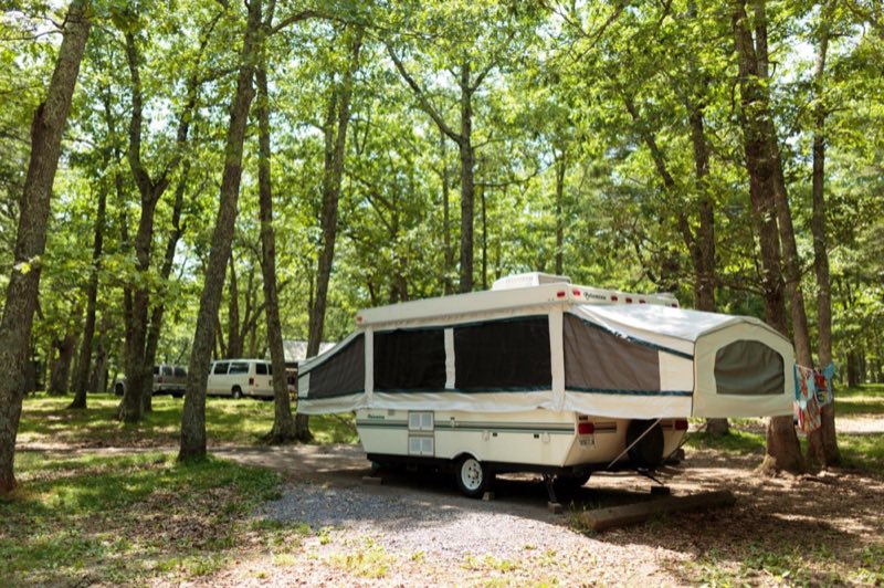
2026 Closing Date: November 29 Big Meadows Campground (mile 51.2) is centrally-located in Shenandoah National Park, providing easy access to many of the most popular destinations in the Park, including Big Meadows, Dark Hollow Falls, and Byrd Visitor Center.
- Operator
- National Park
- Camping types
- Tent
- Sites
- 221 campsites
- Fee
- From $30 per night (confirm with the operator)
- Reservations
- Reservable online
- Phone
- 540-999-3500
Amenities
Location
Nearby adventures
Hikes and trailheads
- Lewis Falls Trail
MILE 51.2 | Leaving from Big Meadows amphitheater, this hike leads to an observation point over a beautiful 81’ waterfall. National Park Service
Show on map - Dark Hollow Falls
Dark Hollow Falls Parking Area (mile 50.7) | Pets are not allowed on this hike. National Park Service
Show on map - Story of the Forest Trail
MILE 51 | Pets are not allowed on this hike. National Park Service
Show on map - Rose River Loop Trail
MILE 49.4 | A hike to a dazzling 67' waterfall. National Park Service
Show on map - Appalachian Trail - Tanners Ridge Road
MILE 52.8 | A fairly level hike that takes you through a former homestead on the famous Appalachian Trail. National Park Service
Show on map - Mill Prong - Laurel Prong Loop
MILE 52.8 | A circuit hike to Camp Rapidan, the rustic getaway of President Herbert Hoover and First Lady Lou Henry Hoover. National Park Service
Show on map
Mountain biking
- Blue Ridge Hills & Hollows
The Blue Ridge Hills & Hollows Bikepacking Route is a 300-mile cycling experience that connects eight memorials honoring displaced Blue Ridge communities. National Park Service
Show on map - Blue Ridge Hills & Hollows
The Blue Ridge Hills & Hollows Bikepacking Route is a 300-mile cycling experience that connects eight memorials honoring displaced Blue Ridge communities. National Park Service
Show on map - Blue Ridge Hills & Hollows
The Blue Ridge Hills & Hollows Bikepacking Route is a 300-mile cycling experience that connects eight memorials honoring displaced Blue Ridge communities. National Park Service
Show on map - Massanutten Gold Loop
"The gold loop connects some of the the most fun and flowy singletrack from all three other designated loops in a classic mid-mountain traverse that offers lots of options to extend your… OpenStreetMap
Show on map
Scenic sights
- Blackrock
A peak near Lewis Spring Falls Trail.
Show on map - Tanners Ridge Overlook
A viewpoint near Tanners Ridge Road.
Show on map - Franklin Cliffs Overlook
A viewpoint near Red Gate Fire Road.
Show on map - Stony MountainShow on map
- Lewis Spring Falls
A 79-foot waterfall along Lewis Spring Falls Trail.
Show on map
Climbing and snow sports
- Massanutten Resort Ski AreaShow on map
Trail and sight data: National Park Service and OpenStreetMap contributors (ODbL).
Reviews
Data sources
Listing details come from the sources above and may be out of date. Confirm fees, dates and closures with the operator before you travel.