Photos: NPS photo/Hamel, NPS photo, NPS Photo · courtesy of National Park Service. Click a photo to enlarge.
Otter Creek
Overview
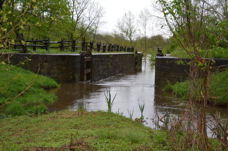
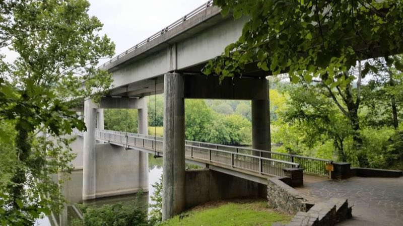
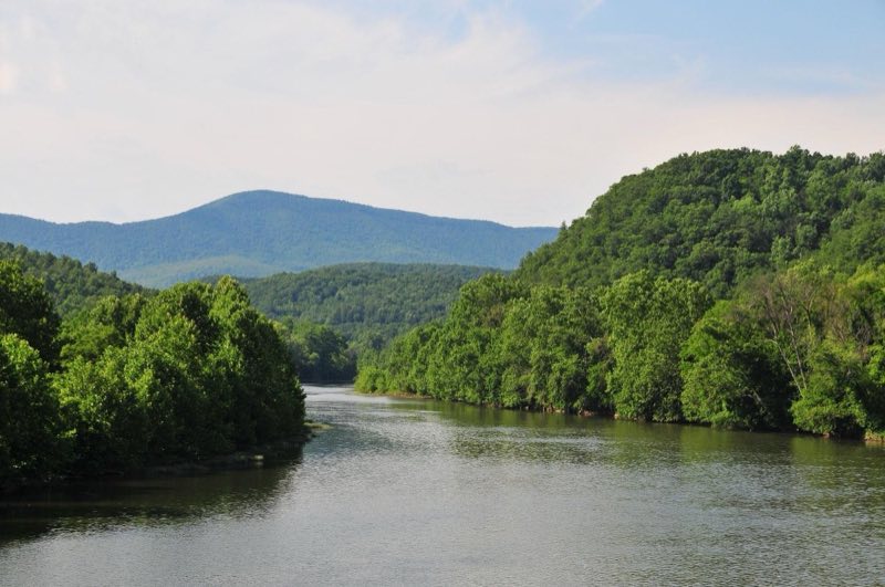
As Otter Creek descends to the James River, the Blue Ridge Parkway dips to its lowest elevation, only 649 feet above sea level. This area's abundant water and warmer temperatures support plant and animal communities that are unlike those found at other areas on the Parkway.
- Operator
- National Park
- Camping types
- Tent, RV
- Sites
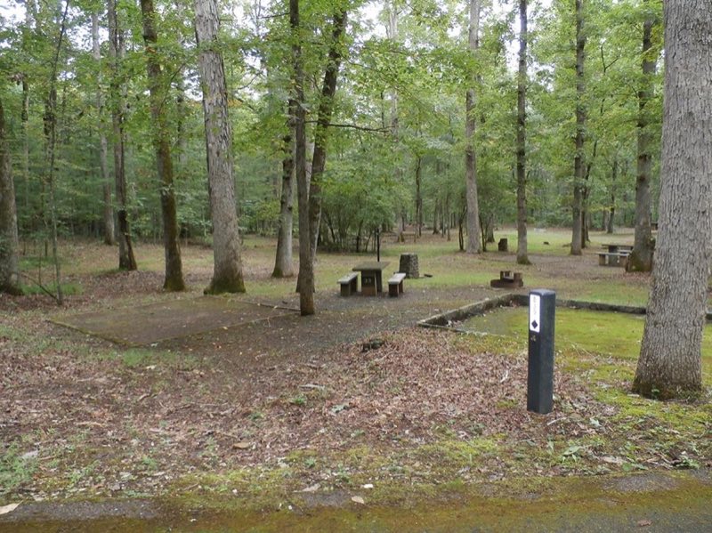
- 68 campsites
- Fee
- From $30 per night (confirm with the operator)
- Reservations
- Reservable online
- Phone
- 434-299-5125
Amenities
Location
Nearby adventures
Hikes and trailheads
- Otter Creek TrailShow on map
- Appalachian Trail
The Appalachian Trail, also called the A.T., is a hiking trail in the Eastern United States, extending almost 2,200 miles between Springer Mountain in Georgia and Mount Katahdin in Maine… Wikipedia
Show on map - Appalachian Trail
The Appalachian Trail, also called the A.T., is a hiking trail in the Eastern United States, extending almost 2,200 miles between Springer Mountain in Georgia and Mount Katahdin in Maine… Wikipedia
Show on map - Old AT - High Water TrailShow on map
- Piney Ridge TrailShow on map
- Sulphur Spring TrailShow on map
Scenic sights
- Hamilton KnobShow on map
- Miners MountainShow on map
- Terrapin Mountain OverlookShow on map
- Terrapin Mountain Overlook
A viewpoint along Terrapin Mountain Trail.
Show on map - Panther FallsShow on map
Climbing and snow sports
- Devils Marbleyard
A climbing area with trad and top-rope routes and bouldering.
Show on map - SnowflexShow on map
Trail and sight data: OpenStreetMap contributors (ODbL). Text marked Wikipedia is from Wikipedia under CC BY-SA 4.0, lightly shortened.
Reviews
Data sources
Listing details come from the sources above and may be out of date. Confirm fees, dates and closures with the operator before you travel.