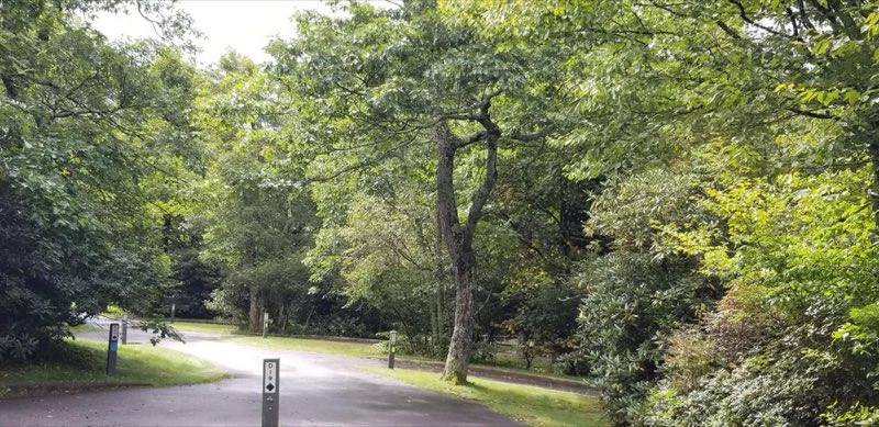

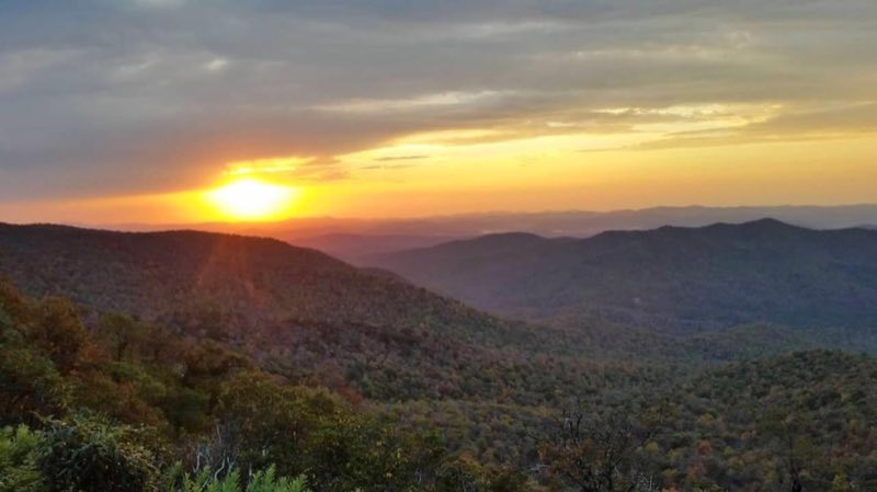
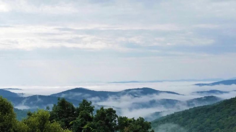
Photos: NPS Photo, NPS photo · courtesy of National Park Service. Click a photo to enlarge.
Mount Pisgah
Overview
Mount Pisgah Campground is located in the mountains of western North Carolina at an elevation of 4,980 feet, and offers moderate to cool temperatures during camping seasons. Mount Pisgah is part of the Appalachian Mountain Range, an area of the country with scenery that never disappoints.
- Operator
- National Park
- Camping types
- Tent, RV
- Sites
- 125 campsites
- Fee
- From $30 per night (confirm with the operator)
- Reservations
- Reservable online
- Phone
- 828-648-2644
Amenities
Location
Nearby adventures
Hikes and trailheads
- Mountains-to-Sea Trail: Segment 2
The Mountains-to-Sea Trail is a developing long distance hiking trail, which connects the Great Smokys to the Outer Banks. OpenStreetMap
Show on map - Mountains-to-Sea Trail: Segment 3
The Mountains-to-Sea Trail is a developing long distance hiking trail, which connects the Great Smokys to the Outer Banks. OpenStreetMap
Show on map - Mount Pisgah TrailShow on map
- Little Bald Mountain TrailShow on map
- Pilot Rock TrailShow on map
- 121 Laurel MountainShow on map
Mountain biking
- The Big MShow on map
- Cove Creek / DanielsShow on map
Scenic sights
- Big BaldShow on map
- Little Bald Mountain
A peak along Pilot Rock Trail.
Show on map - View Funnel Top (MP 409.3)Show on map
- Upper Thompson Ridge FallsShow on map
- Lower Thompson Ridge FallsShow on map
Climbing and snow sports
- Cataloochee Ski AreaShow on map
Trail and sight data: OpenStreetMap contributors (ODbL).
Reviews
Data sources
Listing details come from the sources above and may be out of date. Confirm fees, dates and closures with the operator before you travel.