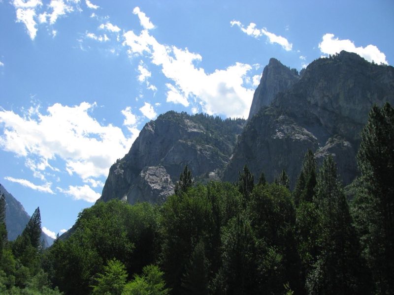
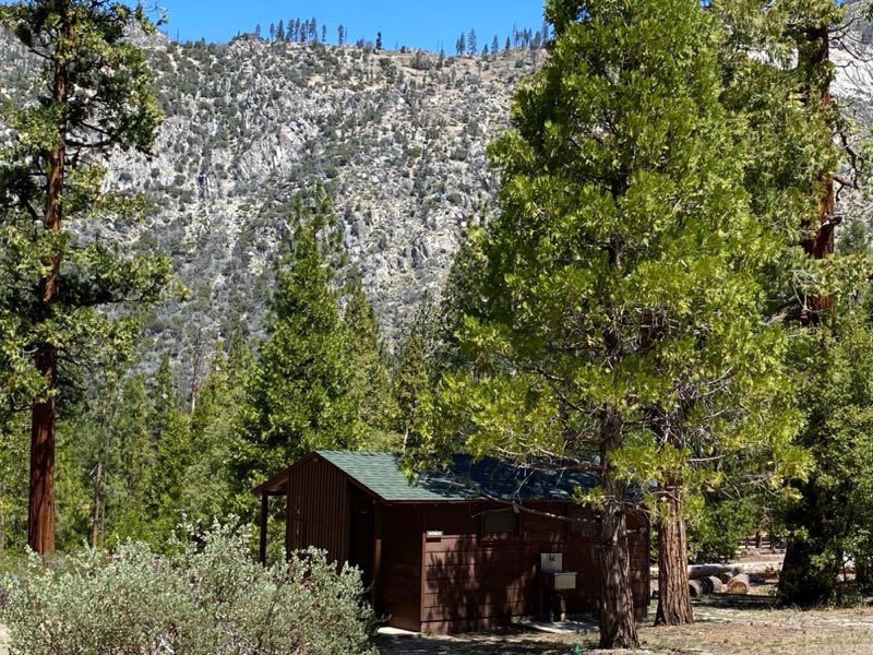
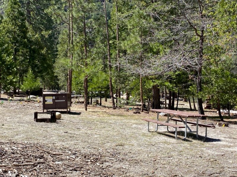
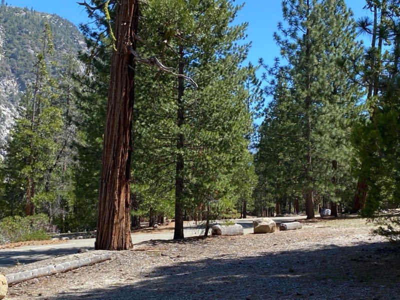
Photos: NPS / Marcy Frazier, NPS Photo · courtesy of National Park Service. Click a photo to enlarge.
Moraine Campground
Overview
The campground is typically open May through October. Reservations can be made up to one month in advance. All sites are reservation only. Just 0.75 miles (1.2 km) from Cedar Grove Village, Moraine Campground rests in the heart of King Canyon.
- Operator
- National Park
- Camping types
- Tent
- Sites
- 121 campsites
- Fee
- From $32 per night (confirm with the operator)
- Reservations
- Reservable online
- Phone
- 559-565-3341
Amenities
Location
Nearby adventures
Hikes and trailheads
- Discover Sheep Creek Cascade
Visit Cedar Grove, in the heart of Kings Canyon. National Park Service
Show on map - Deer Cove TrailShow on map
- Lookout Peak TrailheadShow on map
- Don Cecil - Lower TrailheadShow on map
- Hotel Creek TrailheadShow on map
- Lewis Creek Trail
A loop trail.
Show on map
Mountain biking
- Bike the River Road
Explore this little-known dirt road in Kings Canyon National Park: the River Road in Cedar Grove. National Park Service
Show on map
Scenic sights
- Canyon ViewShow on map
- Sentinel DomeShow on map
- North MountainShow on map
- Roaring River FallsShow on map
- Cedar Grove OverlookShow on map
Climbing and snow sports
- Old Lodgepole Road Winter Trail
This old road connects the Lodgepole Visitor Center with the General Sherman Tree. National Park Service
Show on map
Trail and sight data: National Park Service and Recreation.gov and OpenStreetMap contributors (ODbL).
Reviews
Data sources
Listing details come from the sources above and may be out of date. Confirm fees, dates and closures with the operator before you travel.