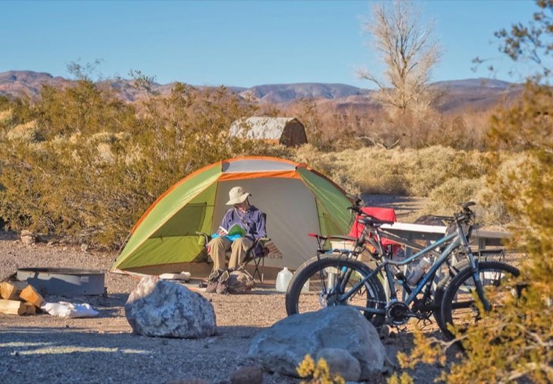
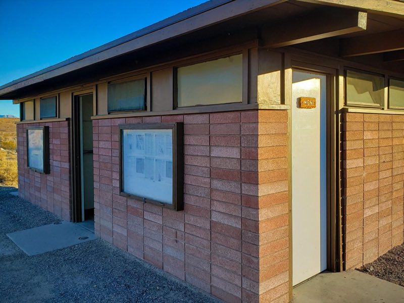
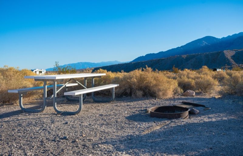
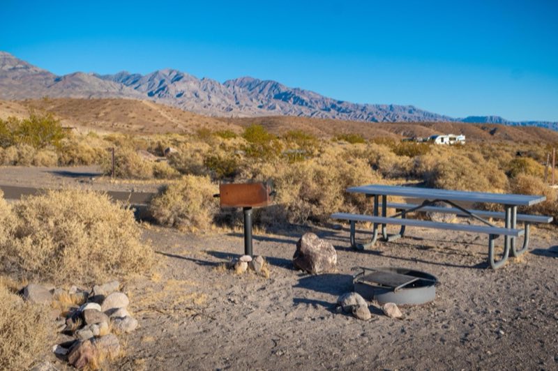
Photos: NPS/K. Moses, NPS/J.Gray · courtesy of National Park Service. Click a photo to enlarge.
Mesquite Spring Campground
Overview
First-come, first-served campground at an elevation of 1,800 feet, located 2 miles off of the Scotty’s Castle Road below Grapevine Canyon. It is a great base camp for your adventures in the northern parts of Death ValIey National Park. It is surrounded by desert mountains and geological features.
- Operator
- National Park
- Camping types
- Tent, RV
- Sites
- 40 campsites
- Fee
- From $20 per night (confirm with the operator)
- Reservations
- No online reservations listed
- Phone
- 760-786-3200
Amenities
Location
Nearby adventures
Scenic sights
- Mesquite Springs panoramaShow on map
- Ubehebe Crater ViewpointShow on map
- Tin Mountain
Tin Mountain is an 8,953-foot summit in the Panamint Range in northern Death Valley National Park, California, located north of Teakettle Junction. Wikipedia
Show on map - Grapevine Peak
Grapevine Peak is the highest mountain in the Grapevine Mountains of Nye County in Nevada, United States. Wikipedia
Show on map - Cave Rock
Original camp site of miners of the Happy Hooligan Mine. OpenStreetMap
Show on map
Trail and sight data: OpenStreetMap contributors (ODbL). Text marked Wikipedia is from Wikipedia under CC BY-SA 4.0, lightly shortened.
Reviews
Data sources
Listing details come from the sources above and may be out of date. Confirm fees, dates and closures with the operator before you travel.