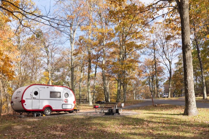
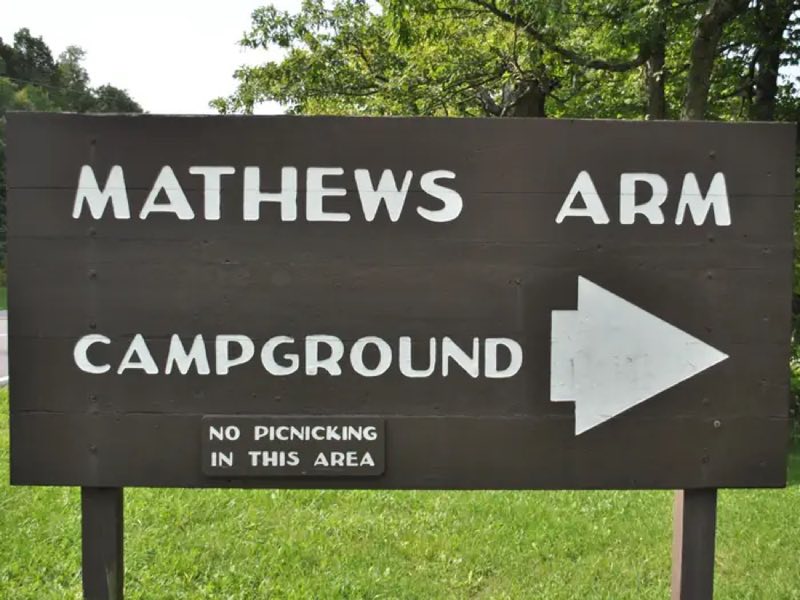
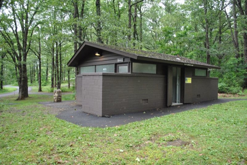

Photos: NPS Photo / Neal Lewis · courtesy of National Park Service. Click a photo to enlarge.
Mathews Arm Campground
Overview
2026 Closing Date: November 1 Mathews Arm Campground (mile 22.1) is the nearest campground for those entering Shenandoah National Park from Front Royal, in the northern section of the Park. All sites include a place for a tent or RV, a fire ring, and picnic table.
- Operator
- National Park
- Camping types
- Tent, RV
- Sites
- 165 campsites
- Fee
- From $30 per night (confirm with the operator)
- Reservations
- Reservable online
- Phone
- 540-999-3500
Amenities
Location
Nearby adventures
Hikes and trailheads
- Traces Trail
MILE 22.2 | A hike that follows a trail around Mathews Arm Campground. National Park Service
Show on map - Overall Run Trail
MILE 22.2 | A hike into federally designated Wilderness to a view of the highest waterfall in the Park at 93 feet. National Park Service
Show on map - Knob Mountain - Jeremys Run
Elkwallow Wayside (mile 24) | This hike goes around a beautiful area of the Park featuring one of the most picturesque streams in Shenandoah. National Park Service
Show on map - Little Devils Stairs Trail
MILE 19.4 | A journey into a rocky gorge with some very rewarding, yet steep, sections along a stream. National Park Service
Show on map - Tuscalachian Loop
A long-distance route.
Show on map - Tuscalachian Loop
A long-distance route.
Show on map
Mountain biking
- EFurnaceMTBShow on map
Scenic sights
- SugarloafShow on map
- Hogback Overlook
A viewpoint near Sugarloaf Trail.
Show on map - Rattlesnake Point Overlook
A viewpoint near Piney Branch Trail.
Show on map - Little Hogback Mountain
A peak near Keyser Run Road.
Show on map - Upper Overall Run Falls
A 29-foot waterfall along Overall Run Trail.
Show on map
Climbing and snow sports
- Bryce Resort
Bryce Resort is a 400-acre, member-owned resort in the northern part of Virginia's Shenandoah Valley that is open to the public. Wikipedia
Show on map
Trail and sight data: National Park Service and OpenStreetMap contributors (ODbL). Text marked Wikipedia is from Wikipedia under CC BY-SA 4.0, lightly shortened.
Reviews
Data sources
Listing details come from the sources above and may be out of date. Confirm fees, dates and closures with the operator before you travel.