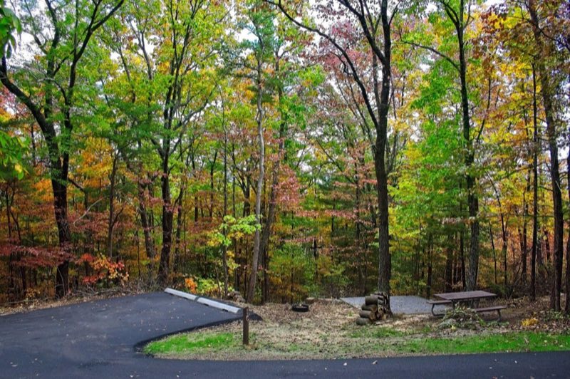
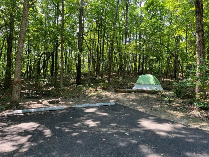
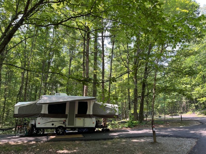
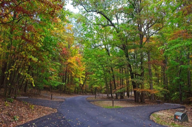
Photos: NPS Photo · courtesy of National Park Service. Click a photo to enlarge.
Look Rock Campground
Overview
Look Rock Campground is located along the beautiful Foothills Parkway West between Walland, Tennessee and Chilhowee Lake. With an elevation of 2,600 feet (792 m), the climate is characterized by mild winters and hot, humid summers. Flush toilets and drinking water are available.
- Operator
- National Park
- Camping types
- Tent, RV
- Sites
- 68 campsites
- Fee
- From $30 per night (confirm with the operator)
- Reservations
- Reservable online
- Phone
- 865-436-1200
Amenities
Location
Nearby adventures
Hikes and trailheads
- Hike to Look Rock Tower
Walk along a short, paved trail 0.8 miles (1.3 km) through the forest to an observation tower with panoramic views of the Smokies and Blount County, Tennessee. National Park Service
Show on map - Hike to Look Rock Tower
Walk along a short, paved trail 0.8 miles (1.3 km) through the forest to an observation tower with panoramic views of the Smokies and Blount County, Tennessee. National Park Service
Show on map - Cooper Road Trail
Hike 10.9 miles (17.5 km) one-way on Cooper Road Trail. National Park Service
Show on map - Cooper Road Trail
Hike 10.9 miles (17.5 km) one-way on Cooper Road Trail. National Park Service
Show on map - Abrams Falls Trail
Swimming in the pool is not recommended due to slippery rocks and a dangerous undertow. National Park Service
Show on map - to Abrams Falls
Swimming in the pool is not recommended due to slippery rocks and a dangerous undertow. National Park Service
Show on map
Mountain biking
- West Loop
A loop mountain-bike route.
Show on map - South Loop
A loop mountain-bike route maintained by AMBC Knoxville.
Show on map - Lippencott/Baker Creek Connector
A mountain-bike route from Lippencott Park to Baker Creek Preserve, maintained by AMBC Knoxville.
Show on map - Lippencott/Fort Dickerson Connector
A mountain-bike route from Fort Dickerson Park to Lippencott Park.
Show on map
Rivers and rafting
- Oak Ridge: Explore Haw Ridge Park
Haw Ridge Park in Oak Ridge, Tennessee encompasses 780 acres and offers hiking, biking, jogging, and watersports opportunities. National Park Service
Show on map - Oak Ridge: Enjoy the Community Swimming Pool
The Oak Ridge Community Swimming Pool, constructed during the Manhattan Project, remains a popular feature of the community to this day. National Park Service
Show on map
Scenic sights
- Look RockShow on map
- Pine MountainShow on map
- Abrams Falls
A waterfall near Abrams Falls Trail.
Show on map - Rich Mountain # 1Show on map
- Valley ViewShow on map
Climbing and snow sports
- Ijams CragShow on map
- Ober MountainShow on map
Trail and sight data: National Park Service and OpenStreetMap contributors (ODbL).
Reviews
Data sources
Listing details come from the sources above and may be out of date. Confirm fees, dates and closures with the operator before you travel.