Photos: NPS photo, NPS Photo · courtesy of National Park Service. Click a photo to enlarge.
Bandy Creek Campground
National ParkTennesseeTentRV
Overview
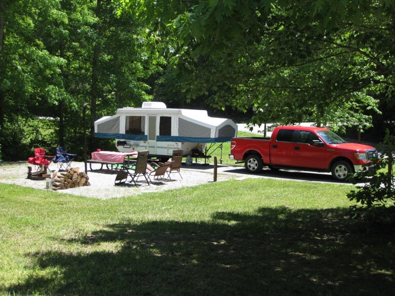
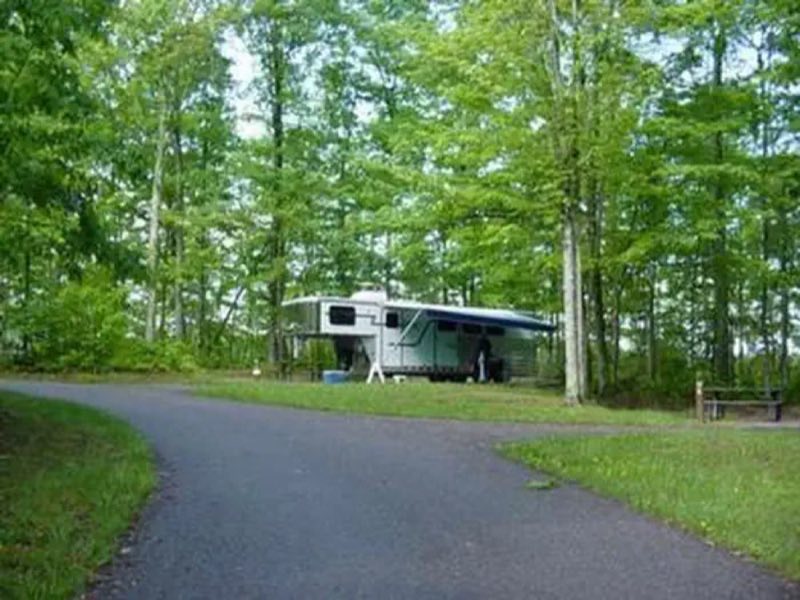
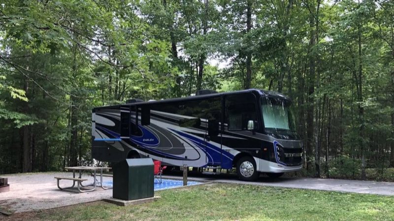
The campground offers a total of 181 campsites: 96 trailer sites which offer water and electric hook-ups, 49 sites for tent camping, and two group camping loops with 19 sites in one loop and 16 sites in the other. All campsites include picnic tables, fire rings, and access to restrooms and showers.
- Operator
- National Park
- Camping types
- Tent, RV
- Sites
- 149 campsites
- Fee
- From $20 per night (confirm with the operator)
- Reservations
- Reservable online
- Phone
- 423-569-9778
Amenities
🚻Toilets
🚿Showers
💧Potable Water
♻️Dump Station
🔌Electric Hookups
♿Wheelchair Access
🥾Hiking
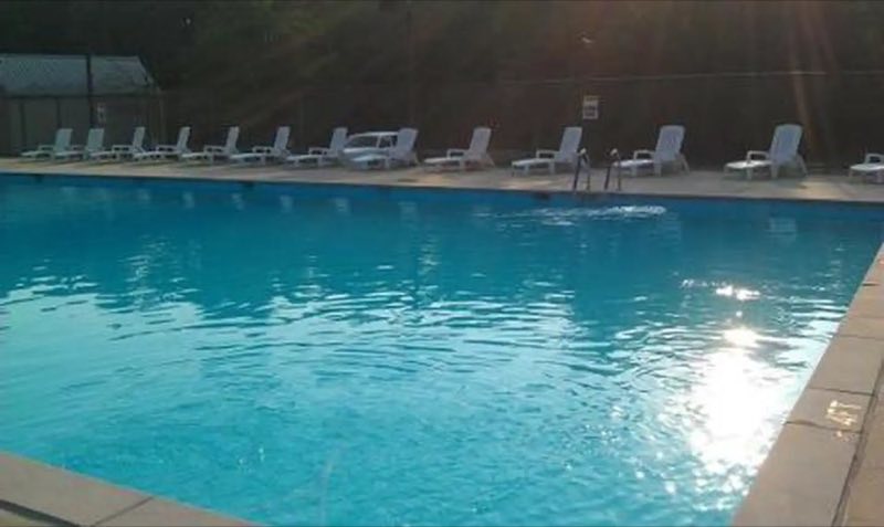
🏊Swimming
🎣Fishing
Location
Nearby adventures
Hikes and trailheads
- Sheltowee Trace NRT Section 38
A trail maintained by USFS.
Show on map - Sheltowee Trace NRT Section 36
A trail maintained by USFS.
Show on map - Sheltowee Trace NRT Section 37
A trail maintained by USFS.
Show on map - Sheltowee Trace NRT Section 35
A trail maintained by USFS.
Show on map - Sheltowee Trace NRT Section 34
A trail maintained by USFS.
Show on map - Sheltowee Trace NRT Section 33
A trail maintained by USFS.
Show on map
Scenic sights
- Letherwood OverlookShow on map
- East Rim OverlookShow on map
- Angel FallsShow on map
- Devils DenShow on map
- Gobblers KnobShow on map
Trail and sight data: OpenStreetMap contributors (ODbL).
Reviews
Been here? Leave a review
Data sources
Listing details come from the sources above and may be out of date. Confirm fees, dates and closures with the operator before you travel.