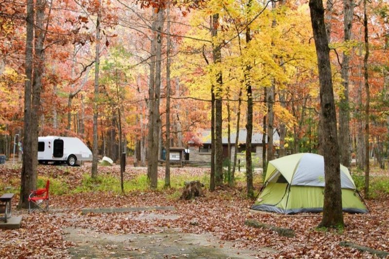
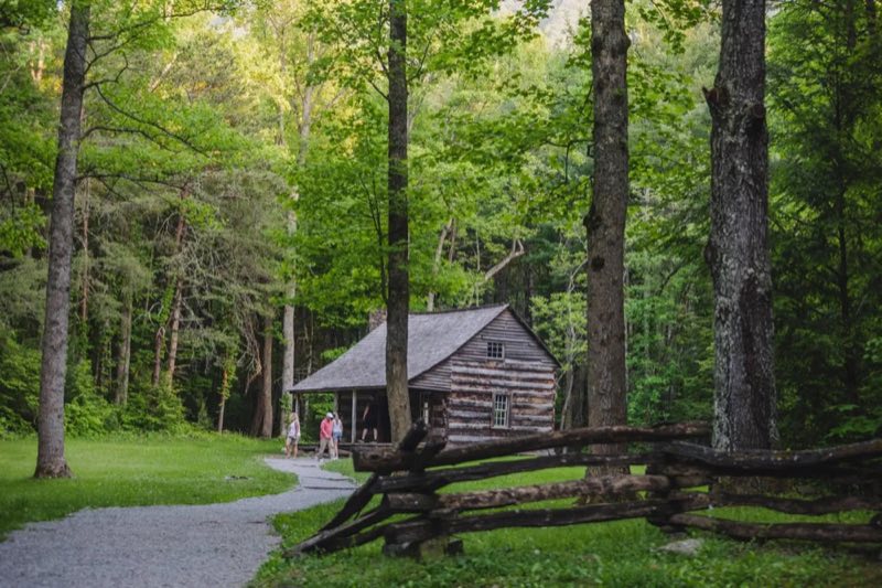

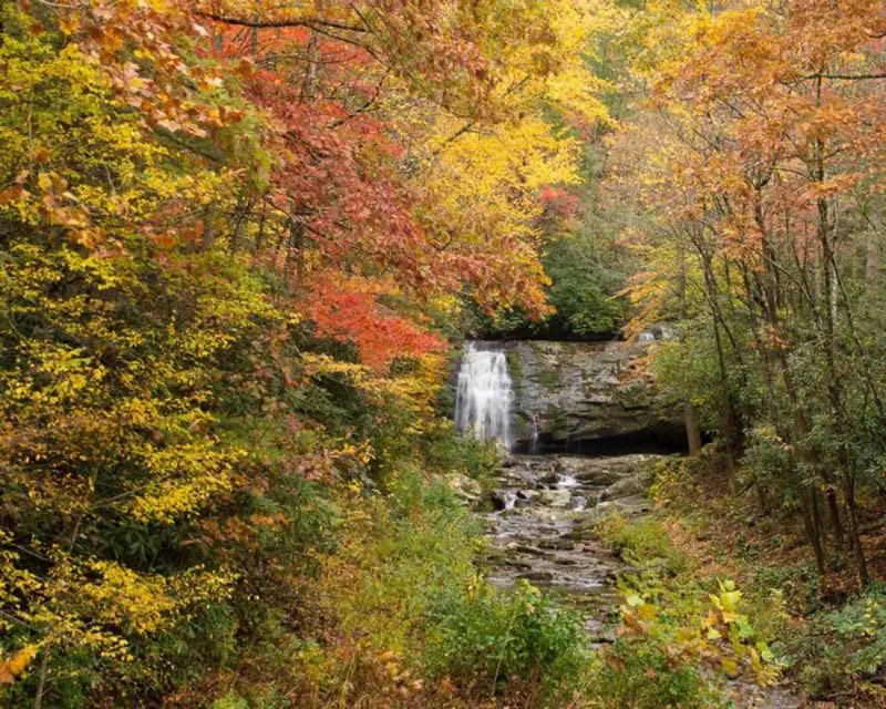
Photos: Warren Bielenberg, Share The Experience Photo Contest - Arun Patil Vasanth, Share The Experience Photo Contest - Bistra Hristova, Share The Experience Photo Contest - Cathy Jennings · courtesy of National Park Service. Click a photo to enlarge.
Cades Cove Campground
Overview
Cades Cove Campground—open year-round—combines the feel of primitive camping with the modern convenience of flush toilets and drinking water. With an elevation of 1,807 feet (551 m), the climate is moderate, characterized by mild winters and hot, humid summers. No hookups or showers.
- Operator
- National Park
- Camping types
- Tent, RV
- Sites
- 161 campsites
- Fee
- From $30 per night (confirm with the operator)
- Reservations
- Reservable online
- Phone
- 865-448-2472
Amenities
Location
Nearby adventures
Hikes and trailheads
- Walk to John Oliver Cabin
The trail gives way to level, packed gravel once it reaches the complex of log structures. National Park Service
Show on map - Walk to John Oliver Cabin
The trail gives way to level, packed gravel once it reaches the complex of log structures. National Park Service
Show on map - Anthony Creek Horse CampShow on map
- Finley Cane, Bote Mountain, Lead Cove Loop
Hike 6.9 miles (11.1 km) on this looped route that links three shorter trail sections, offering a chance to experience the biodiversity of Bote Mountain at various elevations. National Park Service
Show on map - Finley Cane, Bote Mountain, Lead Cove Loop
Hike 6.9 miles (11.1 km) on this looped route that links three shorter trail sections, offering a chance to experience the biodiversity of Bote Mountain at various elevations. National Park Service
Show on map - Appalachian Trail
Appalachian Trail - North Carolina & Tennessee. OpenStreetMap
Show on map
Mountain biking
- South Loop
A loop mountain-bike route maintained by AMBC Knoxville.
Show on map - Lippencott/Baker Creek Connector
A mountain-bike route from Lippencott Park to Baker Creek Preserve, maintained by AMBC Knoxville.
Show on map - Lippencott/Fort Dickerson Connector
A mountain-bike route from Fort Dickerson Park to Lippencott Park.
Show on map
Rivers and rafting
- Oak Ridge: Explore Haw Ridge Park
Haw Ridge Park in Oak Ridge, Tennessee encompasses 780 acres and offers hiking, biking, jogging, and watersports opportunities. National Park Service
Show on map - Oak Ridge: Enjoy the Community Swimming Pool
The Oak Ridge Community Swimming Pool, constructed during the Manhattan Project, remains a popular feature of the community to this day. National Park Service
Show on map
Scenic sights
- Scott MountainShow on map
- Crooked Arm CascadesShow on map
- Cerulean KnobShow on map
- Lone GroveShow on map
- Valley ViewShow on map
Climbing and snow sports
- Ober MountainShow on map
- Ijams CragShow on map
Trail and sight data: National Park Service and Recreation.gov and OpenStreetMap contributors (ODbL).
Reviews
Data sources
Listing details come from the sources above and may be out of date. Confirm fees, dates and closures with the operator before you travel.