Photos: NPS/Rick Cain, NPS · courtesy of National Park Service. Click a photo to enlarge.
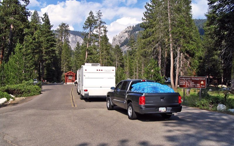
Lodgepole Campground
Overview
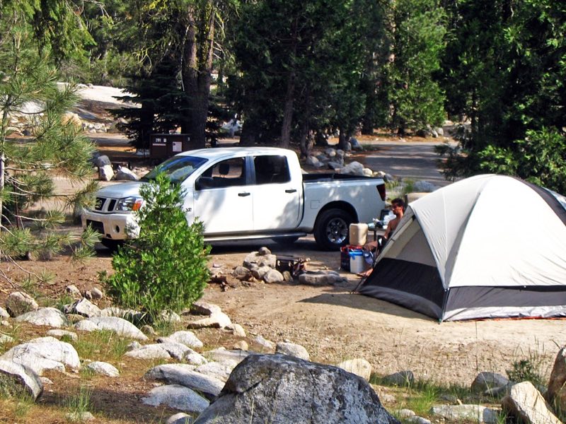
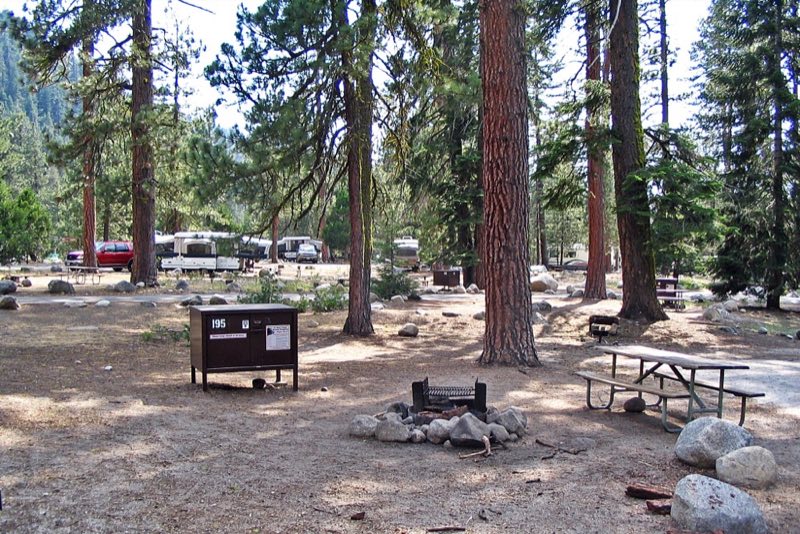
The campground is typically open May through November. Reservations can be made up to four months in advance. All sites are reservation only. This large campground is on the Marble Fork of the Kaweah River within easy walking distance of Lodgepole Village.
- Operator
- National Park
- Camping types
- Tent, RV
- Sites
- 214 campsites
- Fee
- From $32 per night (confirm with the operator)
- Reservations
- Reservable online
- Phone
- 559-565-3341
Amenities
Location
Nearby adventures
Hikes and trailheads
- Discover the Lodgepole-Sherman Tree Trail
Explore the Giant Forest on your way to the General Sherman Tree. National Park Service
Show on map - Discover Tokopah Valley and Falls
The Tokopah Falls Trail is great place to see the “classic” Sierra Nevada landscape. National Park Service
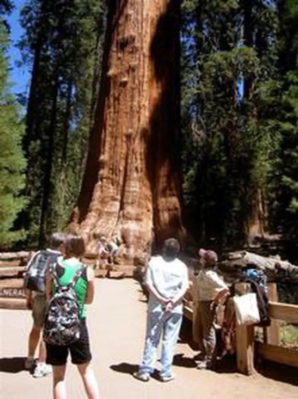
Show on map - The General Sherman Tree
The General Sherman Tree is a must-see while visiting the Giant Forest. National Park Service
Show on map - Hike Among the Giants
There is no better way to explore the Giant Forest than by going out on the trails. National Park Service
Show on map - View Sunset from Sunset Rock
Are you looking for the perfect spot for sunset? National Park Service
Show on map - Hike to a Bird's Eye View
Take a short hike to little-known viewpoint, called Eagle View. National Park Service
Show on map
Mountain biking
- Bike the River Road
Explore this little-known dirt road in Kings Canyon National Park: the River Road in Cedar Grove. National Park Service
Show on map
Scenic sights
- The Watchtower
A peak near Lakes Trail.
Show on map - Panther Peak
A peak near Alta Trail.
Show on map - Tokopah Falls
Tokopah Falls, also known as Tokopah Valley Falls, is a 1,200-foot cascading waterfall in Sequoia National Park, California. Wikipedia
Show on map - Sherman Tree View
A viewpoint near Congress Trail.
Show on map - Eagle View
A viewpoint near Trail of the Sequoias.
Show on map
Climbing and snow sports
- Old Lodgepole Road Winter Trail
This old road connects the Lodgepole Visitor Center with the General Sherman Tree. National Park Service
Show on map
Trail and sight data: National Park Service and OpenStreetMap contributors (ODbL). Text marked Wikipedia is from Wikipedia under CC BY-SA 4.0, lightly shortened.
Reviews
Data sources
Listing details come from the sources above and may be out of date. Confirm fees, dates and closures with the operator before you travel.