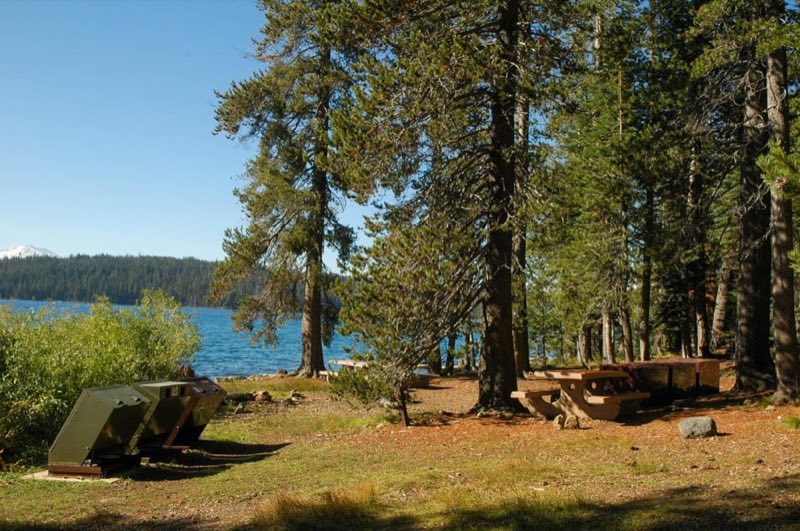
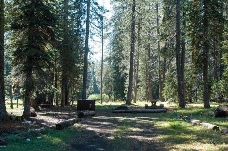
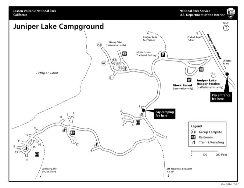
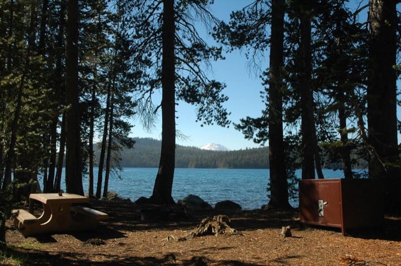
Photos: NPS Photo, NPS Map · courtesy of National Park Service. Click a photo to enlarge.
Juniper Lake Campground
Overview
The Juniper Lake Campground is located on the east shore of Juniper Lake via a 13-mile paved/gravel road. All single campsites are first-come, first-served only. Reservations are required for the two group sites and one stock corral. Drinking water is not available.
- Operator
- National Park
- Camping types
- Tent
- Sites
- 18 campsites
- Fee
- From $12 per night (confirm with the operator)
- Reservations
- Reservable online
- Phone
- 530-595-6121
Amenities
Location
Nearby adventures
Hikes and trailheads
- Mount Harkness Trail
A trail starting near Mount Harkness-Warner Valley Trailhead.
Show on map - Juniper Lake Loop TrailShow on map
- Juniper Lake Loop-North Trailhead
Access point for Mount Harkness Trail.
Show on map - Juniper Lake Loop-South Trailhead
Access point for Mount Harkness Trail.
Show on map - Mount Harkness Lookout TrailShow on map
- Inspiration Point TrailShow on map
Mountain biking
- Bizz Johnson Trail
A mountain-bike route from Susanville (Old Railroad Depot) to Mason Station, maintained by Bureau of Land Management.
Show on map
Scenic sights
- Mount Harkness
A peak along Mount Harkness Lookout Trail.
Show on map - Bonte PeakShow on map
- Inspiration Point
A viewpoint along Inspiration Point Trail.
Show on map - Terminal GeyserShow on map
- Drakesbad Hot SpringsShow on map
Climbing and snow sports
- Coppervale Ski Area
A ski area, operated by Lassen College.
Show on map
Trail and sight data: OpenStreetMap contributors (ODbL).
Reviews
Data sources
Listing details come from the sources above and may be out of date. Confirm fees, dates and closures with the operator before you travel.