Photos: NPS photo, NPS Photo · courtesy of National Park Service. Click a photo to enlarge.
Julian Price Park Campground
Overview
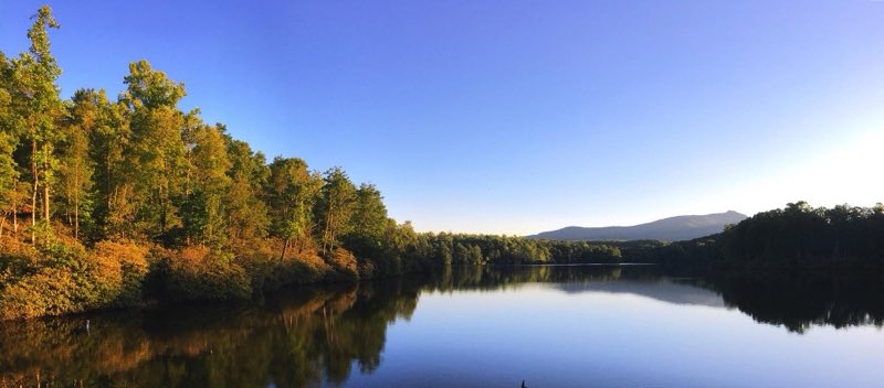
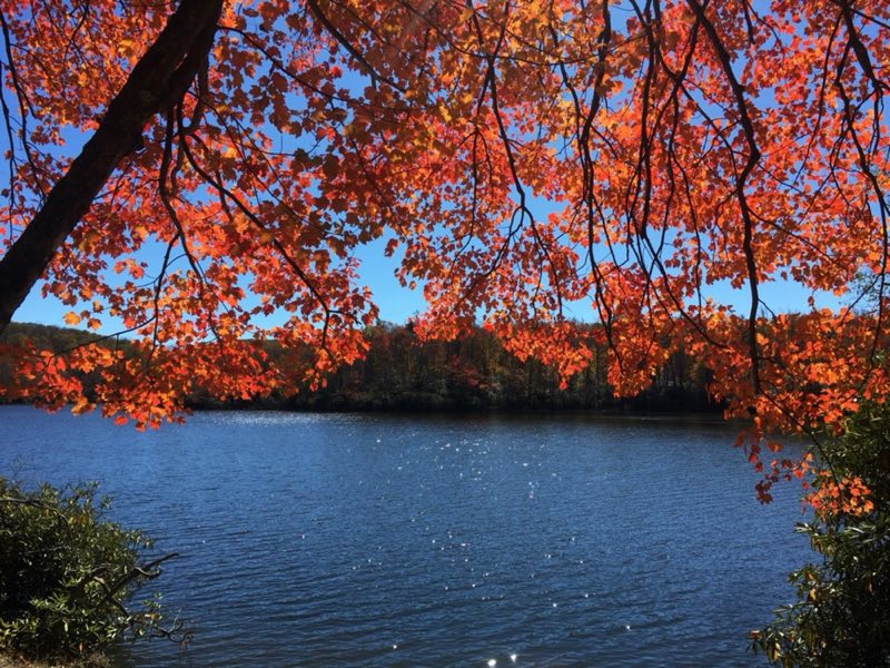
Julian Price Campground sits beside Price Lake, a pristine body of water that sparkles against the backdrop of rolling mountains. The surrounding forest offers a colorful assortment of wildflowers in the spring and vivid orange and red foliage in the fall.
- Operator
- National Park
- Camping types
- Tent, RV
- Sites
- 190 campsites
- Fee
- From $30 per night (confirm with the operator)
- Reservations
- Reservable online
- Phone
- 828-963-5911
Amenities
Location
Nearby adventures
Hikes and trailheads
- Mountains-to-Sea Trail: Segment 5
The Mountains-to-Sea Trail is a developing long distance hiking trail, which connects the Great Smokys to the Outer Banks. OpenStreetMap
Show on map - Mountains-to-Sea Trail: Segment 4
The Mountains-to-Sea Trail is a developing long distance hiking trail, which connects the Great Smokys to the Outer Banks. OpenStreetMap
Show on map - Tanawha Trail
The Tanawha Trail extends for 13.5 miles from Julian Price Park to Beacon Heights in North Carolina. Wikipedia
Show on map - Upper Boone Fork Trail
A trail maintained by National Park Service.
Show on map - Asutsi Trail
A trail maintained by National Park Service.
Show on map - Cragway Loop
A loop trail maintained by North Carolina Division of Parks & Recreation.
Show on map
Scenic sights
- Ash Bearpen Knob
A peak near Tanawha Trail.
Show on map - Buck Knob
A peak near Tanawha Trail.
Show on map - Green Mountain Falls
A waterfall near Cragway Loop.
Show on map - Top Crag View
A viewpoint along Cragway Loop.
Show on map - Pilot Ridge Overlook
A viewpoint along Tanawha Trail.
Show on map
Climbing and snow sports
- Hawksnest Snow TubingShow on map
Trail and sight data: OpenStreetMap contributors (ODbL). Text marked Wikipedia is from Wikipedia under CC BY-SA 4.0, lightly shortened.
Reviews
Data sources
Listing details come from the sources above and may be out of date. Confirm fees, dates and closures with the operator before you travel.