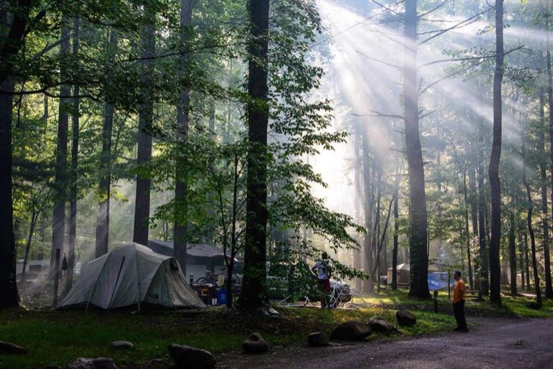
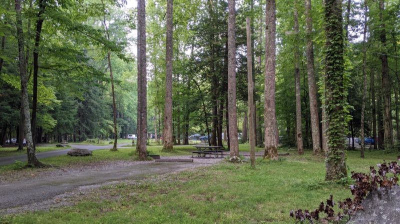
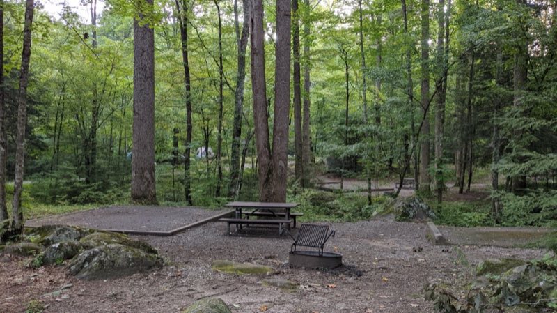
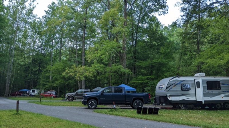
Photos: NPS Photo/Bielenberg, NPS Photo · courtesy of National Park Service. Click a photo to enlarge.
Elkmont Campground
Overview
Elkmont Campground is the closest family campground to Sugarlands Visitor Center in the North District of the park. At 2,150 feet (655 m), winters are mild and summers are hot and humid. Tent and RV campsites, flush toilets, and drinking water are available. No hookups or showers.
- Operator
- National Park
- Camping types
- Tent, RV
- Sites
- 211 campsites
- Fee
- From $30 per night (confirm with the operator)
- Reservations
- Reservable online
- Phone
- 865-430-5560
Amenities
Location
Nearby adventures
Hikes and trailheads
- Laurel Falls Trail
Enjoy a few views of the mountain landscape before arriving at the waterfall. National Park Service
Show on map - Little River, Cucumber Gap, Jakes Creek Loop
Hike 5.4 miles (8.7 km) on a pleasant and shady loop connecting three trails with streamside views, historic structures, and prolific spring wildflower displays. National Park Service
Show on map - Little River, Cucumber Gap, Jakes Creek Loop
Hike 5.4 miles (8.7 km) on a pleasant and shady loop connecting three trails with streamside views, historic structures, and prolific spring wildflower displays. National Park Service
Show on map - Little River Trail
Once a railroad bed, the Little River Trail now offers a peaceful hike through the Elkmont area of Great Smoky Mountains National Park. National Park Service
Show on map - Little River Trail
Once a railroad bed, the Little River Trail now offers a peaceful hike through the Elkmont area of Great Smoky Mountains National Park. National Park Service
Show on map - to Laurel Falls
Enjoy a few views of the mountain landscape before arriving at the waterfall. National Park Service
Show on map
Mountain biking
- South Loop
A loop mountain-bike route maintained by AMBC Knoxville.
Show on map
Scenic sights
- Maloney PointShow on map
- Burnt MountainShow on map
- Maloney Point
A viewpoint near Sugarland Mountain Trail.
Show on map - Laurel Falls
A waterfall along Laurel Falls Trail.
Show on map - Mannis Branch FallsShow on map
Climbing and snow sports
- Ober MountainShow on map
- Ijams CragShow on map
Trail and sight data: National Park Service and OpenStreetMap contributors (ODbL).
Reviews
Data sources
Listing details come from the sources above and may be out of date. Confirm fees, dates and closures with the operator before you travel.