Photos: NPS / Chris Wonderly, NPS/Chris Wonderly, NPS/Neal Herbert · courtesy of National Park Service. Click a photo to enlarge.
Devils Garden Campground
Overview
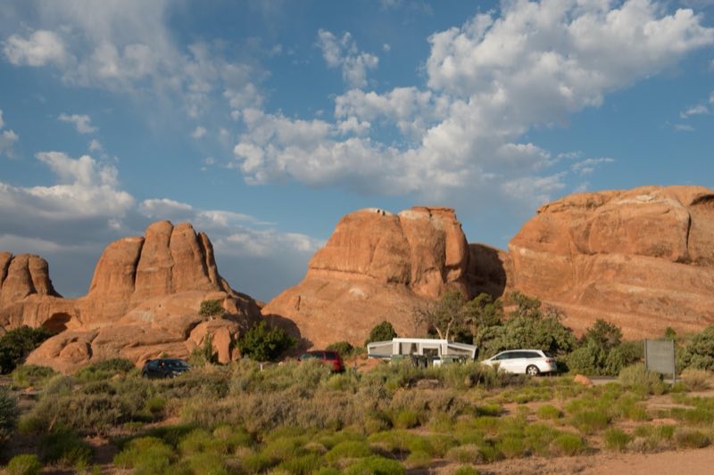
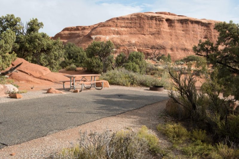
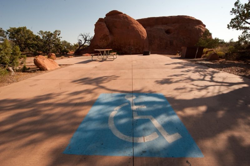
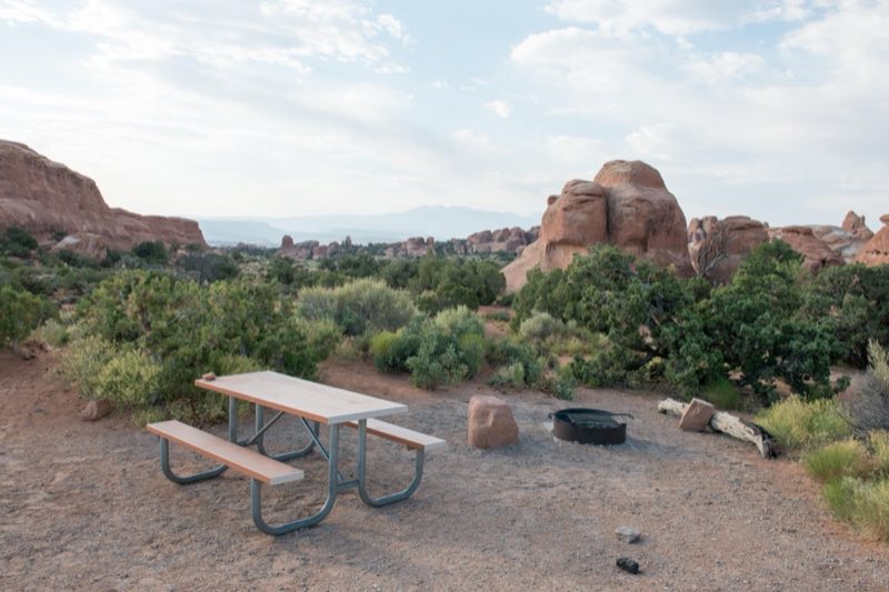
Camp among slickrock outcroppings at Devils Garden Campground, 18 miles from the park entrance. Facilities include drinking water, picnic tables, grills, and both pit-style and flush toilets. You can reserve standard campsites up to 6 months in advance for stays March 1-October 31.
- Operator
- National Park
- Camping types
- Tent, RV
- Sites
- 51 campsites
- Fee
- From $25 per night (confirm with the operator)
- Reservations
- Reservable online
- Phone
- 435-719-2299
Amenities
Location
Nearby adventures
Hikes and trailheads
- Broken Arch Campground North TrailheadShow on map
- Broken Arch Campground South TrailheadShow on map
- Skyline Arch TrailheadShow on map
- Balanced Rock Trail
A trail maintained by National Park Service.
Show on map - Gold Bar Recreation SiteShow on map
- Corona Arch Trail
The Corona Arch Trail was designated as a National Recreation Trail on May 30, 2018. Recreation.gov
Show on map
Mountain biking
- Moab TrailsShow on map
- Lower Monitor & Merrimac TrailShow on map
- The Whole Enchilada
A mountain-bike route starting near Moonlight Meadows Trailhead.
Show on map - Gold BarShow on map
Scenic sights
- Tunnel Arch ViewpointShow on map
- Pine Tree Arch ViewpointShow on map
- Tusher TunnelShow on map
- Medieval ChamberShow on map
- Castleton Tower
Castleton Tower is a 6,660-foot summit on the northeastern border of Castle Valley, Utah. Wikipedia
Show on map
Climbing and snow sports
- The CrackhouseShow on map
- North Dakota CragShow on map
Trail and sight data: OpenStreetMap contributors (ODbL) and Recreation.gov. Text marked Wikipedia is from Wikipedia under CC BY-SA 4.0, lightly shortened.
Reviews
Data sources
Listing details come from the sources above and may be out of date. Confirm fees, dates and closures with the operator before you travel.