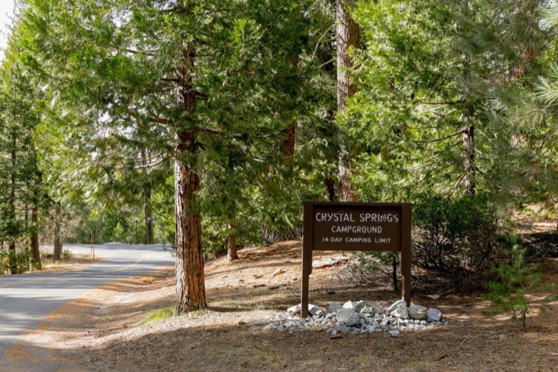
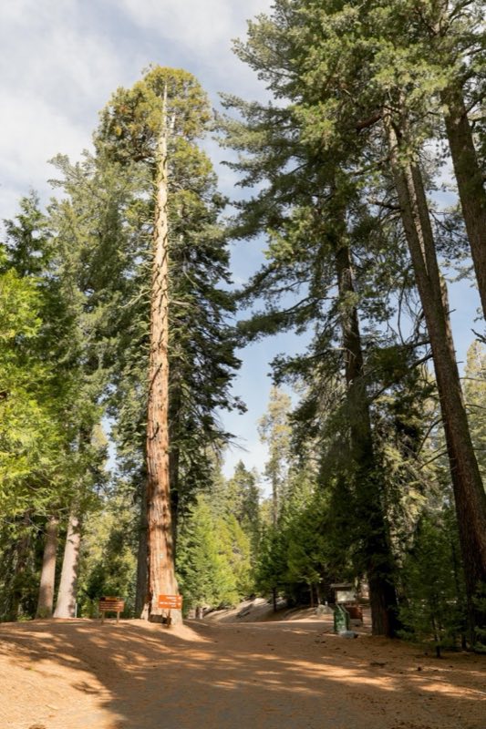
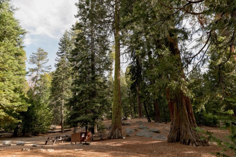
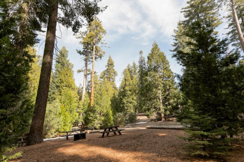
Photos: NPS Photo · courtesy of National Park Service. Click a photo to enlarge.
Crystal Springs Campground
Overview
The campground is typically open May through September. Reservations can be made up to two days in advance. All sites are reservation only. Crystal Springs campground is located 4 miles (6 km) from Kings Canyon Park entrance in the Grant Grove area.
- Operator
- National Park
- Camping types
- Tent
- Sites
- 35 campsites
- Fee
- From $32 per night (confirm with the operator)
- Reservations
- Reservable online
- Phone
- 559-565-3341
Amenities
Location
Nearby adventures
Hikes and trailheads
- Take a Short Hike to Buena Vista Peak
Would you like to hike, but don’t have a lot of time? National Park Service
Show on map - Hume Lake Trail
The Hume Lake Trail is 2.6 miles long. Recreation.gov
Show on map - Chicago Stump Trailhead
The Chicago Stump Trail is a short and easy hike to a very interesting and historical site. Recreation.gov
Show on map - Indian Basin Trailhead
Indian Basin Trailhead is a developed trailhead with a vault toilet and parking, located in Princess Campground off the Highway 180. Recreation.gov
Show on map - Boole Tree Trailhead
The Boole Tree trailhead is approximately 4.2 miles north of Grant Grove Village (east) on Highway 180 to FS Road 13S55. Recreation.gov
Show on map - Stony Creek SequoiaShow on map
Mountain biking
- Bike the River Road
Explore this little-known dirt road in Kings Canyon National Park: the River Road in Cedar Grove. National Park Service
Show on map
Scenic sights
- Sequoia Lake OverlookShow on map
- Panoramic PointShow on map
- Viola FallsShow on map
- Ella FallsShow on map
- Logger PointShow on map
Climbing and snow sports
- North Grove Loop Winter Trail
The North Grove Loop travels through a magnificent grove of giant sequoias. National Park Service
Show on map
Trail and sight data: National Park Service and Recreation.gov and OpenStreetMap contributors (ODbL).
Reviews
Data sources
Listing details come from the sources above and may be out of date. Confirm fees, dates and closures with the operator before you travel.