Photos: Alex Armstrong Photo, NPS photo · courtesy of National Park Service. Click a photo to enlarge.
Crabtree Falls Campground
Overview
Due to impacts for Hurricane Helene, Crabtree Falls Campground will be closed to all camping in 2026.
- Operator
- National Park
- Camping types
- Tent, RV
- Sites
- 81 campsites
- Fee
- From $30 per night (confirm with the operator)
- Reservations
- Reservable online
- Phone
- 828-675-5444
Amenities
Location
Nearby adventures
Hikes and trailheads
- Mountains-to-Sea Trail: Segment 4
The Mountains-to-Sea Trail is a developing long distance hiking trail, which connects the Great Smokys to the Outer Banks. OpenStreetMap
Show on map - Mountains-to-Sea Trail: Segment 3
The Mountains-to-Sea Trail is a developing long distance hiking trail, which connects the Great Smokys to the Outer Banks. OpenStreetMap
Show on map - Colbert Ridge TrailShow on map
- Overmountain Victory National Historic Trail
A long-distance route from Abingdon to Kings Mountain State Park.
Show on map - Buncombe Horse Range Trail
A trail maintained by United States Forest Service.
Show on map - Woody Ridge TrailShow on map
Scenic sights
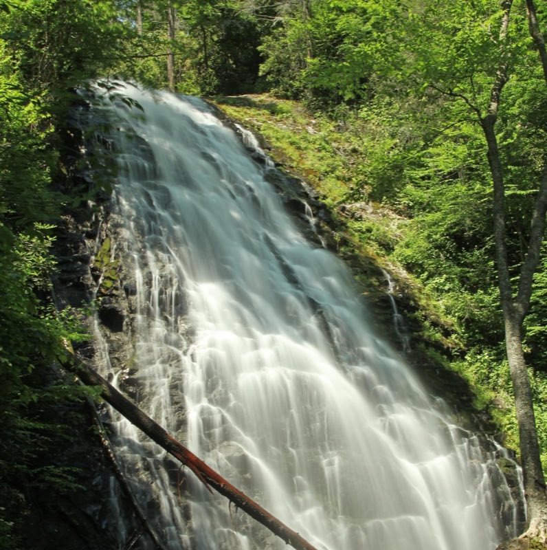
- Crabtree Falls
Crabtree Falls is a waterfall located near the boundary of McDowell County and Yancey County, North Carolina. Wikipedia
Show on map - Three KnobsShow on map
- Three Knob Overlook (MP 338.8)Show on map
- Rich KnobShow on map
- Deerlick Gap Overlook (MP 337.2)Show on map
Climbing and snow sports
- Hatley Pointe
Hatley Pointe is a ski area in the eastern United States in western North Carolina. Wikipedia
Show on map
Trail and sight data: OpenStreetMap contributors (ODbL). Text marked Wikipedia is from Wikipedia under CC BY-SA 4.0, lightly shortened.
Reviews
Data sources
Listing details come from the sources above and may be out of date. Confirm fees, dates and closures with the operator before you travel.