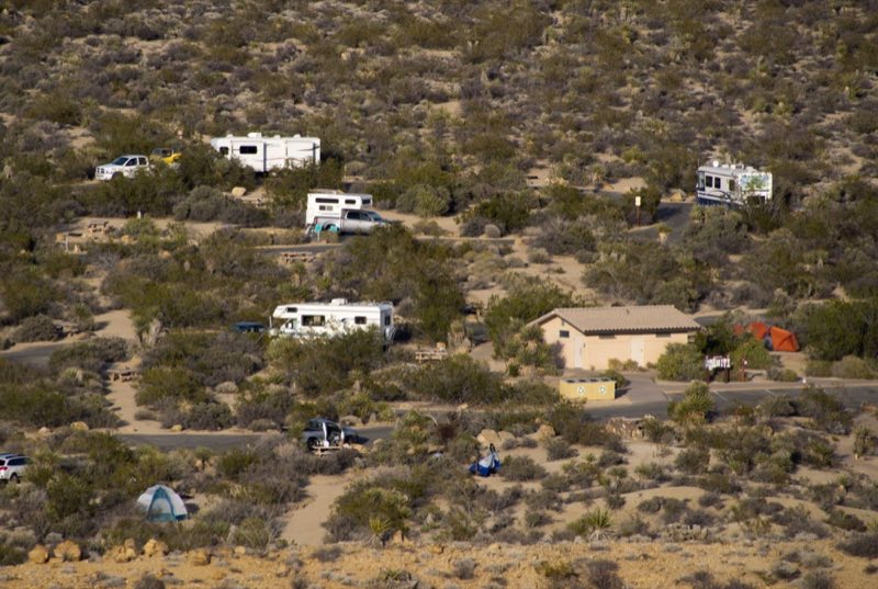
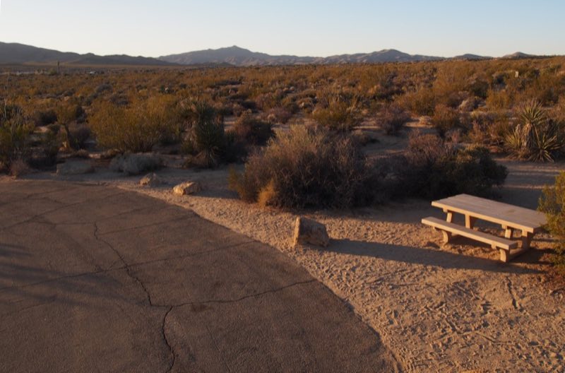
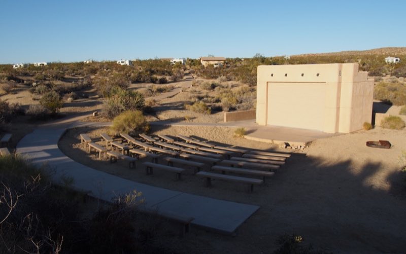
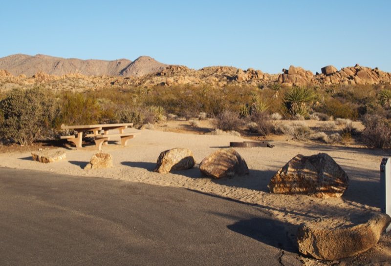
Photos: NPS/Robb Hannawacker, NPS/NPS/Robb Hannawacker · courtesy of National Park Service. Click a photo to enlarge.
Cottonwood Campground
Overview
The Cottonwood Campground is reservation only and has 62 sites, potable water and flush toilets. The Campground is near the Cottonwood Visitor Center in the southeast part of the park. The closest metropolitan area is Indio about 30 miles away.
- Operator
- National Park
- Camping types
- Tent, RV
- Sites
- 62 campsites
- Fee
- From $35 per night (confirm with the operator)
- Reservations
- Reservable online
- Phone
- 760-367-3001
Amenities
Location
Nearby adventures
Hikes and trailheads
- Mastodon Peak
A moderate three mile loop with 375 feet of elevation gain. National Park Service
Show on map - Hike Cottonwood Spring
A short, easy 0.1 mile walk to an oasis. National Park Service
Show on map - Bajada Trail
Enjoy this short, easy trail through the Colorado desert. National Park Service
Show on map - Lost Palms Oasis Trail
A difficult 7.5 mile hike to an oasis. National Park Service
Show on map - Mastodon Mine Loop Trail
A loop trail.
Show on map - Hike Cholla Cactus Garden
An easy quarter mile hike through a cholla patch along Pinto Basin Road. National Park Service
Show on map
Scenic sights
- Mastodon Peak
A peak along Mastodon Mine Loop Trail.
Show on map - Buried Mountain
Buried Mountain is a mountain in the Orocopia Mountains, visible from Interstate 10. Wikipedia
Show on map
Climbing and snow sports
- Two Bolt RockShow on map
- Demon DomeShow on map
- Crow's NestShow on map
Trail and sight data: National Park Service and OpenStreetMap contributors (ODbL). Text marked Wikipedia is from Wikipedia under CC BY-SA 4.0, lightly shortened.
Reviews
Data sources
Listing details come from the sources above and may be out of date. Confirm fees, dates and closures with the operator before you travel.