Photos: NPS Photo · courtesy of National Park Service. Click a photo to enlarge.
Coast Campground
Overview
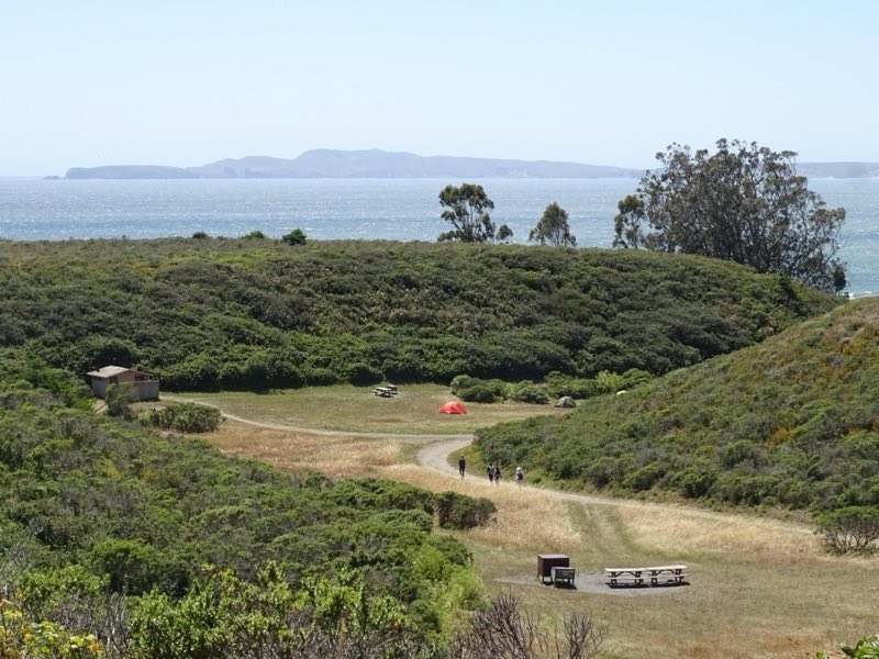
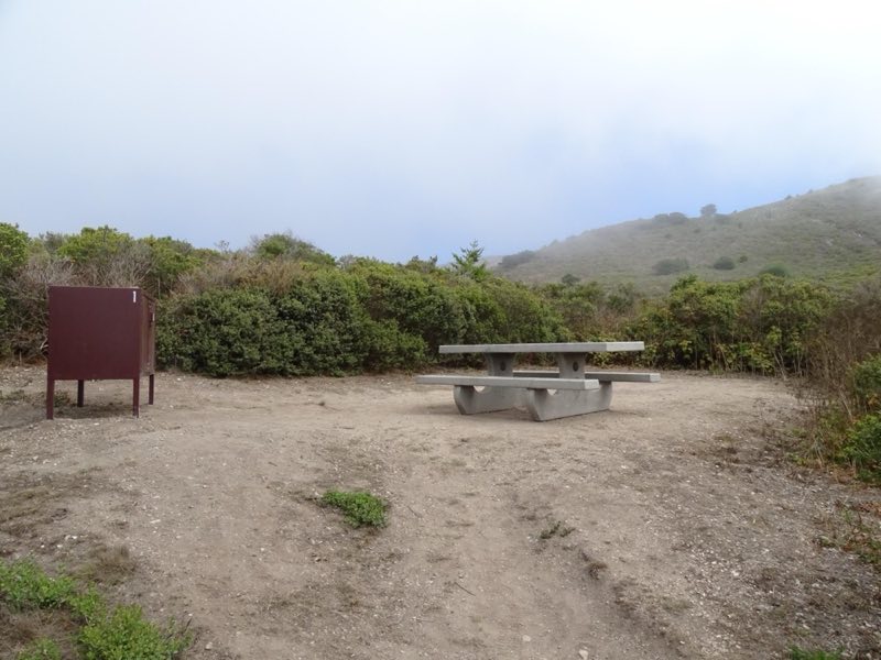
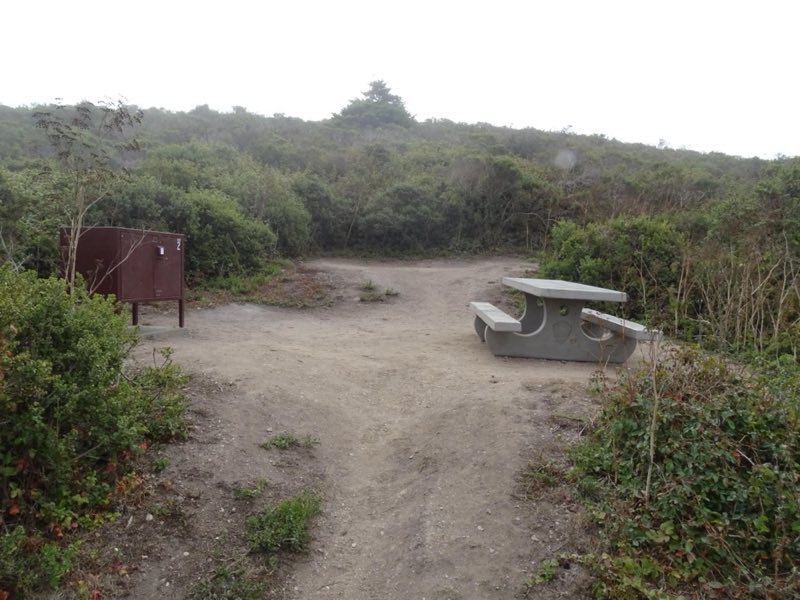
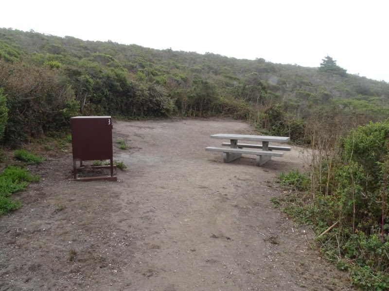
Coast Campground is nestled within a small coastal valley with easy access to the beach and tidepools. The beach is within 220 yards of the campground & tidepools are located ~720 yards to the southeast. One may access Coast Campground by foot, bicycle, or horse; not by boat, auto, or RV.
- Operator
- National Park
- Camping types
- Tent
- Sites
- 14 campsites
- Fee
- From $30 per night (confirm with the operator)
- Reservations
- Reservable online
- Phone
- 415-464-5100
Amenities
Location
Nearby adventures
Hikes and trailheads
- Hike to Sculptured Beach
An easy to moderate walk on the beach or through coastal scrub and grassland offers some breath-taking ocean views and leads to a rocky shoreline where one can look for intertidal organisms… National Park Service
Show on map - ADT - California - T - Seg 9
California Seg 9: Golden Gate Bridge to Limantour Beach, Point Reyes National Seashore. OpenStreetMap
Show on map - Hike to Secret Beach and Skylight Cave
Skylight Cave is a sea cave with a collapsed ceiling at the north end of Secret Beach, which is located within the Phillip Burton Wilderness along the eastern shore of Drakes Bay. National Park Service
Show on map - Laguna-Coast Loop
This moderate hike through coastal scrub and grasslands offers some breath-taking ocean views and a couple locations to descend to a beach. National Park Service
Show on map - Muddy Hollow Trail
This out-and-back trail offers an easy hike with opportunities to see diverse bird life, wildflowers, and possibly tule elk! National Park Service
Show on map - Estero–Glenbrook–Muddy Hollow Road Loop
This loop hike passes through young woodlands, coastal scrub, and grassland within the Phillip Burton Wilderness. National Park Service
Show on map
Mountain biking
- Bike to Coast Campground
Ride your bike on this multi-use trail, through alder forests and grasslands, to beautiful coastal bluffs with ocean views. National Park Service
Show on map - Bike to Sky Campground
Ride your bike up a moderate incline along this multi-use trail through Douglas fir forest to Sky Campground, where you can enjoy a break with oceans views. National Park Service
Show on map - Bike the Bear Valley Trail to the Glen Trail Junction
This wide gravel trail through Douglas fir forest is great for a family cruise, a mellow ride, or the start of a multi-sport adventure! National Park Service
Show on map - Bike the Bolinas Ridge Trail
Enjoy open, grassy hillsides, redwood forests, decent climbs, and bumpy downhills on this multi-use trail. National Park Service
Show on map
Rivers and rafting
- Kayak Drakes Estero and Estero de Limantour
Kayaking or canoeing Drakes Estero and Estero de Limantour offers an intimate marine wilderness experience unlike any other. National Park Service
Show on map - Swimming at Point Reyes
What comes to mind when you think about the beach? National Park Service
Show on map - Enjoy the Beach at Aquatic Park Cove
Enjoy the beach and calm water of Aquatic Park Cove. National Park Service
Show on map
Scenic sights
- Mount Wittenberg
A peak near Sky Trail.
Show on map - Point Reyes HillShow on map
- Alamere Falls
Alamere Falls is a coastal waterfall in Point Reyes National Seashore, Marin County, California; it flows directly into the ocean. Wikipedia
Show on map - Elephant Seal OverlookShow on map
- Stairstep FallsShow on map
Climbing and snow sports
- Main RockShow on map
- Stinson Beach BouldersShow on map
- Old Man BoulderShow on map
Trail and sight data: National Park Service and OpenStreetMap contributors (ODbL). Text marked Wikipedia is from Wikipedia under CC BY-SA 4.0, lightly shortened.
Reviews
Data sources
Listing details come from the sources above and may be out of date. Confirm fees, dates and closures with the operator before you travel.