Photos: NPS Photo/Cecilia Lynch, NPS Photo · courtesy of National Park Service. Click a photo to enlarge.
Chopawamsic Backcountry Area
Overview
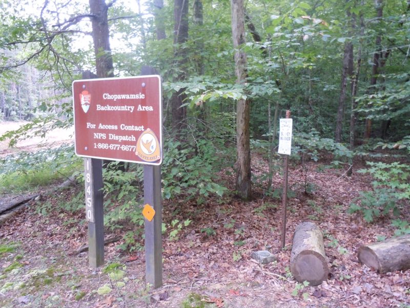
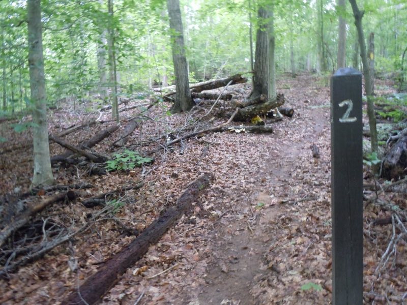
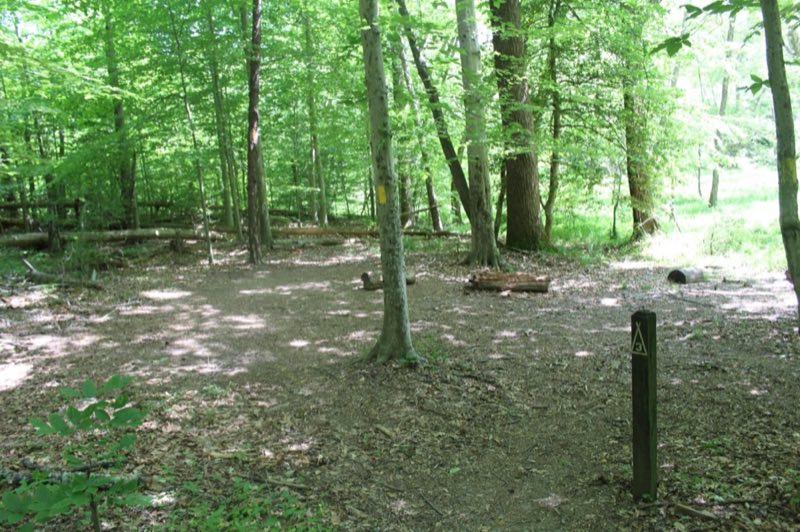
Chopawamsic Backcountry Area (tents only) is an 8-site, hike-in/hike-out, backcountry campground in a remote area of the park. No pets and no campfires are allowed in this area. Four campers per site only. Campers must pitch tents within 20 feet of the site marker.
- Operator
- National Park
- Camping types
- Tent, RV
- Sites
- 8 campsites
- Fee
- From $8 per night (confirm with the operator)
- Reservations
- Reservable online
- Phone
- 703-221-7181
Amenities
Location
Nearby adventures
Hikes and trailheads
- Chopawamsic Backcountry
Chopawamsic (chop-ah-wahm-zik) Backcountry Area, which means by the small "divided streams" or "river flats" in Algonquian, is 1,500 acres of backcountry area with eight designated… National Park Service
Show on map - Hike to the Taylor Farm Site
The Taylor Farm site is a short hike from the Turkey Run parking area or parking lot H. National Park Service
Show on map - Potomac Heritage National Scenic Trail (right bank)
The Potomac Heritage Trail, also known as the Potomac Heritage National Scenic Trail or the PHT, is a designated National Scenic Trail corridor spanning parts of the mid-Atlantic region of… Wikipedia
Show on map - Potomac Heritage National Scenic Trail (right bank)
The Potomac Heritage Trail, also known as the Potomac Heritage National Scenic Trail or the PHT, is a designated National Scenic Trail corridor spanning parts of the mid-Atlantic region of… Wikipedia
Show on map - Potomac Heritage National Scenic Trail (right bank)
The Potomac Heritage Trail, also known as the Potomac Heritage National Scenic Trail or the PHT, is a designated National Scenic Trail corridor spanning parts of the mid-Atlantic region of… Wikipedia
Show on map - Take a walk through time to the bank of the Potomac River
Take a two-mile walk from the parking area to access the shoreline of the Potomac River to relax along the river, search for shark teeth, or enjoy a picnic at the overlook. National Park Service
Show on map
Mountain biking
- Bike the Potomac Heritage National Scenic Trail in Prince William Forest Park
Discover Northern Virginia's best kept secret and bike along the park’s Scenic Drive. National Park Service
Show on map - Bike the Potomac Heritage National Scenic Trail in Prince William Forest Park
Discover Northern Virginia's best kept secret and bike along the park’s Scenic Drive. National Park Service
Show on map - Bike the Potomac Heritage National Scenic Trail in Prince William Forest Park
Discover Northern Virginia's best kept secret and bike along the park’s Scenic Drive. National Park Service
Show on map - Blue Loop
A loop mountain-bike route.
Show on map
Scenic sights
- Pyrite Mine OverlookShow on map
- Patrick F. Taylor OverlookShow on map
- Coe Creek
A waterfall along Bull Run Occoquan Trail.
Show on map - Fall HillShow on map
- Bald HillShow on map
Trail and sight data: National Park Service and OpenStreetMap contributors (ODbL). Text marked Wikipedia is from Wikipedia under CC BY-SA 4.0, lightly shortened.
Reviews
Data sources
Listing details come from the sources above and may be out of date. Confirm fees, dates and closures with the operator before you travel.