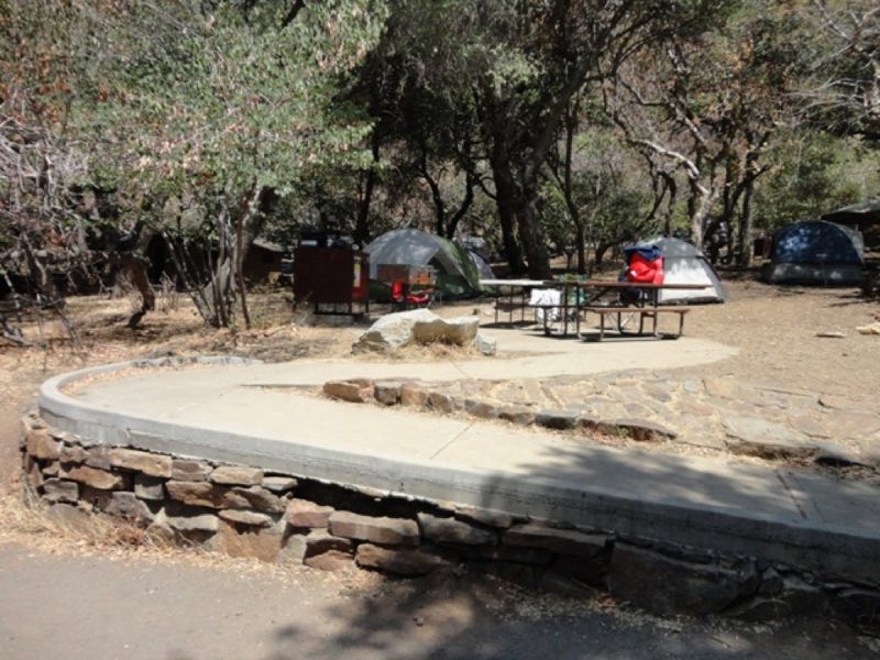
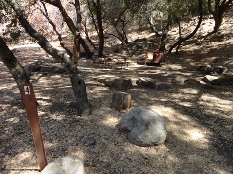
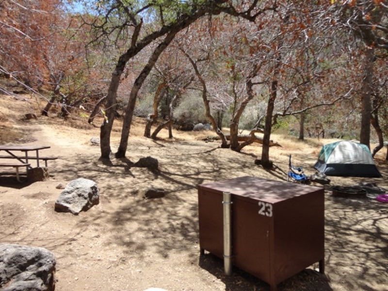
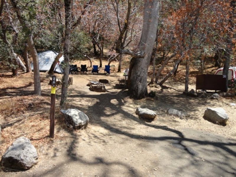
Photos: NPS Photo · courtesy of National Park Service. Click a photo to enlarge.
Buckeye Flat Campground
Overview
Not currently taking reservations due to past winter storm damage. Open year-round except when weather or safety conditions require a closure. Reservations can be made up to one month in advance. All sites are reservation only. Campers can hear the rushing Middle Fork of the Kaweah River from most sites.
- Operator
- National Park
- Camping types
- Tent
- Sites
- 27 campsites
- Fee
- From $32 per night (confirm with the operator)
- Reservations
- Reservable online
- Phone
- 559-565-3341
Amenities
Location
Nearby adventures
Hikes and trailheads
- Paradise Creek
Explore Paradise Canyon in the Foothills of Sequoia National Park. National Park Service
Show on map - Moro Rock
A stone and concrete stairway leads to the top of Moro Rock, a granite dome that towers over the Generals Highway. National Park Service
Show on map - Hike to a Bird's Eye View
Take a short hike to little-known viewpoint, called Eagle View. National Park Service
Show on map - View Sunset from Sunset Rock
Are you looking for the perfect spot for sunset? National Park Service
Show on map - Crescent Meadow
The Crescent Meadow Trail is an ideal place for photography and a relaxing walk. National Park Service
Show on map - Hike Among the Giants
There is no better way to explore the Giant Forest than by going out on the trails. National Park Service
Show on map
Mountain biking
- Bike the River Road
Explore this little-known dirt road in Kings Canyon National Park: the River Road in Cedar Grove. National Park Service
Show on map
Scenic sights
- Amphitheater PointShow on map
- Moro Rock
Moro Rock is a granite dome rock formation in Sequoia National Park, California, United States. Wikipedia
Show on map - Switchback PeakShow on map
- Bobcat PointShow on map
- Marble FallsShow on map
Climbing and snow sports
- Trail of the Sequoias Winter Trail
A challenging alternative to the Crescent Trail, the Trail of the Sequoias explores the eastern edge of the Giant Forest. National Park Service
Show on map
Trail and sight data: National Park Service and OpenStreetMap contributors (ODbL). Text marked Wikipedia is from Wikipedia under CC BY-SA 4.0, lightly shortened.
Reviews
Data sources
Listing details come from the sources above and may be out of date. Confirm fees, dates and closures with the operator before you travel.