Photos: NPS Photo · courtesy of National Park Service. Click a photo to enlarge.
Balsam Mountain Campground
Overview
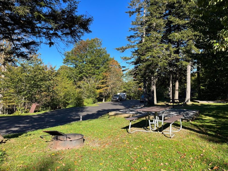
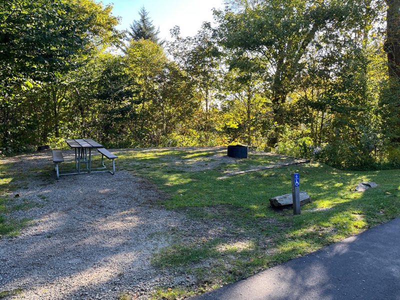
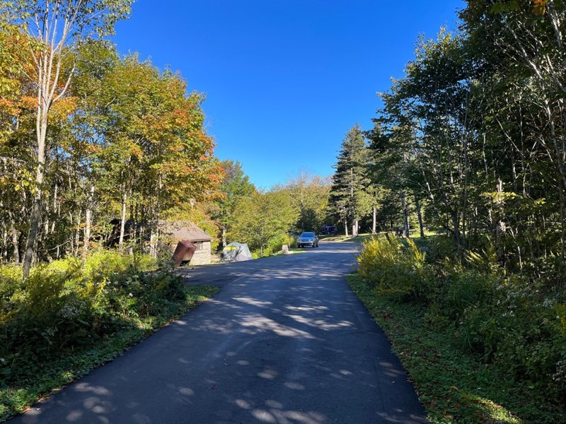
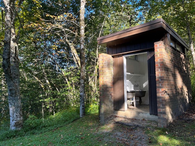
Balsam Mountain Campground is surrounded by mountain ranges and streams. With an elevation of 5,310 feet (1,618 m), summer daytime temperatures rarely exceed 70°F (~21°C) and lows may dip to 50°F (10°C). RV and tent sites plus flush toilets and drinking water are available.
- Operator
- National Park
- Camping types
- Tent, RV
- Sites
- 43 campsites
- Fee
- From $30 per night (confirm with the operator)
- Reservations
- Reservable online
- Phone
- 828-497-9270
Amenities
Location
Nearby adventures
Hikes and trailheads
- Mountains-to-Sea Trail: Segment 1
The Mountains-to-Sea Trail is a developing long distance hiking trail, which connects the Great Smokys to the Outer Banks. OpenStreetMap
Show on map - Mountains-to-Sea Trail: Segment 1
The Mountains-to-Sea Trail is a developing long distance hiking trail, which connects the Great Smokys to the Outer Banks. OpenStreetMap
Show on map - Hike to Steve Woody House
Walk 2 miles (3.2 km) roundtrip through a hardwood forest on a wide, well-graded path following a mountain stream to reach the historic Steve Woody Place, which was once the center of a… National Park Service
Show on map - Hike to Steve Woody House
Walk 2 miles (3.2 km) roundtrip through a hardwood forest on a wide, well-graded path following a mountain stream to reach the historic Steve Woody Place, which was once the center of a… National Park Service
Show on map - Flat Creek Trail TrailheadShow on map
- Rough Fork Trail TrailheadShow on map
Scenic sights
- Flat Creek BaldShow on map
- Heintooga BaldShow on map
- Flat Creek FallsShow on map
- Horse Trough OverlookShow on map
- Maggie Valley OverlookShow on map
Climbing and snow sports
- Cataloochee Ski AreaShow on map
Trail and sight data: OpenStreetMap contributors (ODbL) and National Park Service.
Reviews
Data sources
Listing details come from the sources above and may be out of date. Confirm fees, dates and closures with the operator before you travel.