Photos: NPS Photo · courtesy of National Park Service. Click a photo to enlarge.
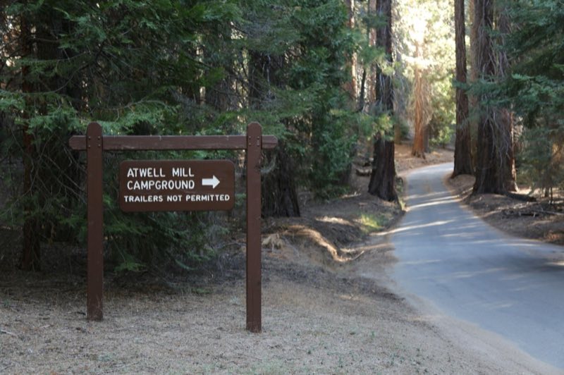
Atwell Mill Campground
Overview
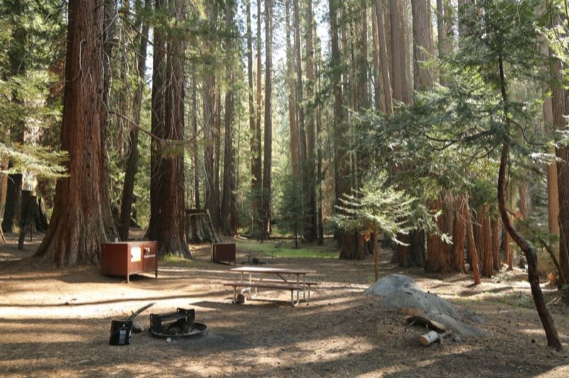
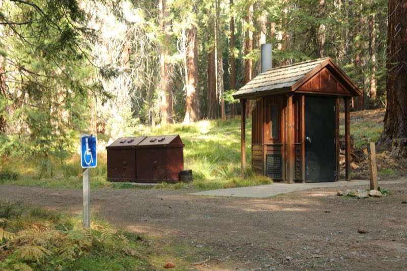
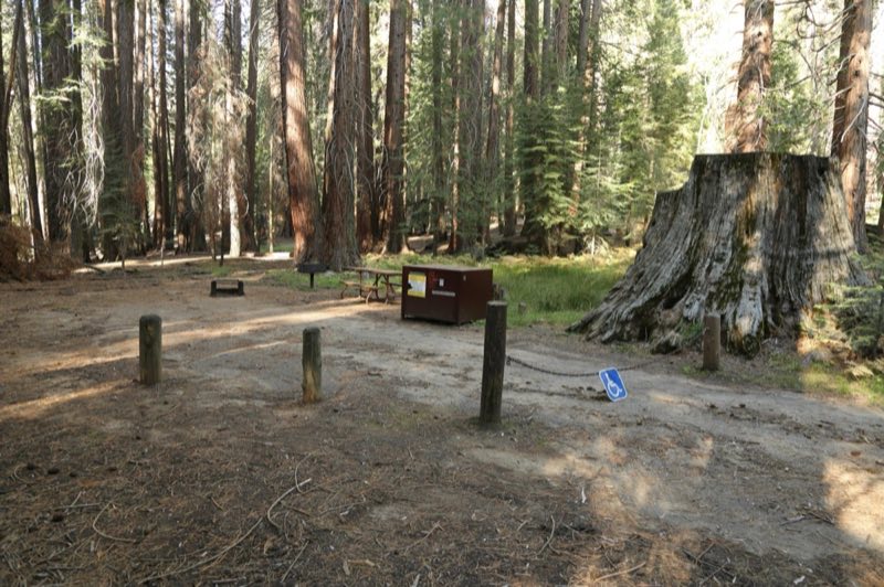
The campground is typically open May through October. Reservations can be made up to one month in advance. All sites are reservation only. The campground is situated along the East Fork of the Kaweah River. There are limited services at Silver City Resort, 1.7 miles (3 km) east of the campground.
- Operator
- National Park
- Camping types
- Tent, RV
- Sites
- 21 campsites
- Fee
- From $32 per night (confirm with the operator)
- Reservations
- Reservable online
- Phone
- 559-565-3341
Amenities
Location
Nearby adventures
Hikes and trailheads
- Explore Sub-Alpine Landscapes at Mineral King
In Sequoia National Park visit Mineral King, a beautiful valley at 7,500 feet. National Park Service
Show on map - Atwell-Hockett Trail
A trail maintained by National Park Service.
Show on map - Theodore Solomons Trail
The Theodore Solomons Trail is a long-distance trail in the Sierra Nevada mountain range of California, passing through Yosemite, Kings Canyon, and Sequoia National Parks, and the Sierra… Wikipedia
Show on map - Paradise Ridge TrailheadShow on map
- Paradise Creek
Explore Paradise Canyon in the Foothills of Sequoia National Park. National Park Service
Show on map - Tar Gap TrailShow on map
Mountain biking
- Bike the River Road
Explore this little-known dirt road in Kings Canyon National Park: the River Road in Cedar Grove. National Park Service
Show on map
Scenic sights
- Paradise PeakShow on map
- Pine Top MountainShow on map
- Tufa Falls
A waterfall near White Chief Trail.
Show on map - Lower Cliff Creek Falls
A waterfall near Black Rock Pass Trail.
Show on map - Moro Rock
Moro Rock is a granite dome rock formation in Sequoia National Park, California, United States. Wikipedia
Show on map
Climbing and snow sports
- Trail of the Sequoias Winter Trail
A challenging alternative to the Crescent Trail, the Trail of the Sequoias explores the eastern edge of the Giant Forest. National Park Service
Show on map
Trail and sight data: National Park Service and OpenStreetMap contributors (ODbL). Text marked Wikipedia is from Wikipedia under CC BY-SA 4.0, lightly shortened.
Reviews
Data sources
Listing details come from the sources above and may be out of date. Confirm fees, dates and closures with the operator before you travel.