Photos: USFS · courtesy of Recreation.gov. Click a photo to enlarge.
Wish Poosh Campground
Overview
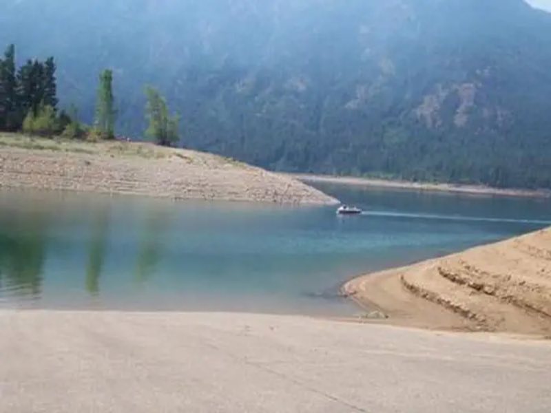
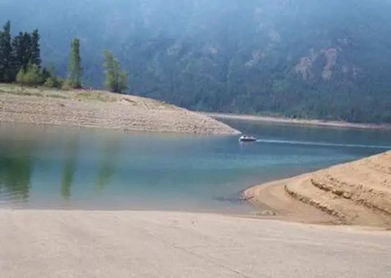
Wish Poosh Campground sits near the southeastern shore of Cle Elum Lake in the Okanogan-Wenatchee National Forest. This campground is a popular gathering place for individuals and families to enjoy both the mountains and the serenity of the lake at an elevation of 2,300 feet.
- Operator
- National Forest
- Camping types
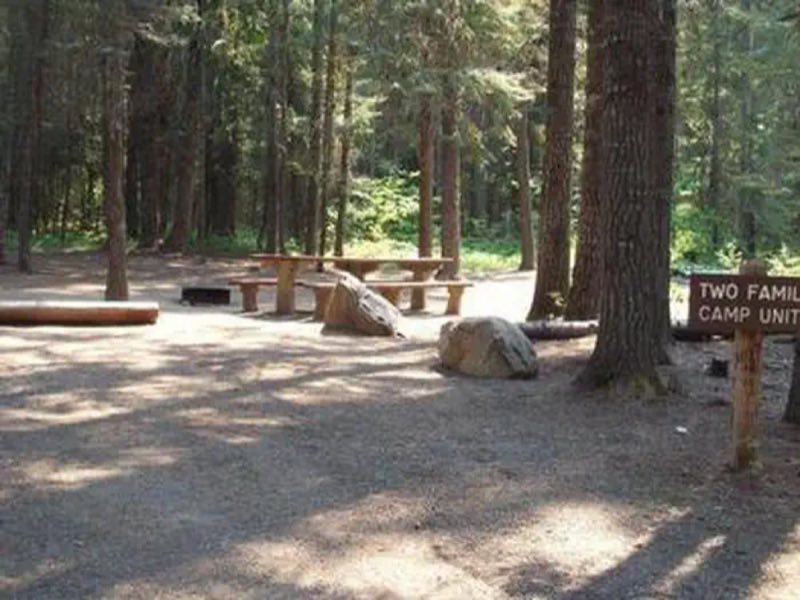
- RV, Tent
- Sites
- 34 campsites
- Fee
- From $8 per night (confirm with the operator)
- Reservations
- Reservable online
- Phone
- 509-852-1100
Amenities
Location
Nearby adventures
Hikes and trailheads
- Sasse Mountain Trail
A trail maintained by Okanogan-Wenatchee National Forest.
Show on map - Domerie Peak Trail
A trail maintained by Okanogan-Wenatchee National Forest.
Show on map - Domerie Divide Trail
A trail maintained by Okanogan-Wenatchee National Forest.
Show on map - Easton Ridge Trail
A trail maintained by Okanogan-Wenatchee National Forest.
Show on map - West Fork Teanaway TrailShow on map
- Kachess Ridge No Name Ridge Trail
A trail maintained by Okanogan-Wenatchee National Forest.
Show on map
Mountain biking
- Mount Clifty Trail
A mountain-bike route from Forest Road 1905 to Manastash Ridge.
Show on map - Manastash Ridge TrailShow on map
- Quartz Mountain Trail
A mountain-bike route from Forest Road 1904-740 to Manastash RidgeTrail.
Show on map - Legos TrailShow on map
Scenic sights
- Domerie Peak
A peak along Domerie Peak Trail.
Show on map - Mount Baldy
A peak along Domerie Peak Trail.
Show on map - Red Mountain LookoutShow on map
- I 90 Lookout
A viewpoint near Cle Elum Ridge Trail.
Show on map - Snowshed Falls
A 167-foot waterfall.
Show on map
Climbing and snow sports
- East FaceShow on map
- Lizard LedgeShow on map
- Three Summits
A ski area, operated by Summit at Snoqualmie / Boyne Resorts.
Show on map
Trail and sight data: OpenStreetMap contributors (ODbL).
Reviews
Data sources
Listing details come from the sources above and may be out of date. Confirm fees, dates and closures with the operator before you travel.